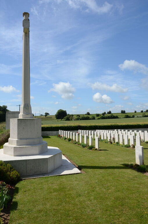
Forceville Communal Cemetery And Extension
- Country France
- Total identified casualties 308 Find these casualties
- Region Somme
- Identified casualties from First World War
- GPS Coordinates Latitude: 50.06273, Longitude: 2.55237
PLEASE NOTE
Major works are currently underway in the cemetery. We apologise for any inconvenience caused.
Location information
Forceville is a village some 10 kilometres north-west of Albert on the road to Doullens. The Communal Cemetery and Extension lie to the west of the village of Forceville, 20 kilometres from Doullens and 10 kilometres from Albert, on the D938, the main road between these two places.
Visiting information
ARRIVAL
The cemetery is signposted at the side of the road close to the parking area. The Commonwealth War Graves Commission (CWGC) plot is attached to the rear of the civil cemetery.
PARKING
There is a parking area with space for up to 3 vehicles directly in front of the civil cemetery at the side of the main road. Spaces are within 15 metres of the main entrance.
A further option for parking is available opposite the main entrance to the civil cemetery in a layby on the opposite side of the road. Spaces are within 25 metres of the track leading to the cemetery.
The ground is flat and firm the surface is tarmac in both locations.
ACCESS LAYOUT AND MAIN ENTRANCE
Access into the cemetery is via a grass single vehicle width track along the left side of the civil cemetery.
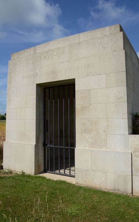
The main entrance is a memorial shelter building, 100 metres from the main road along the track, with a tall, black, metal, 1.20-metre-wide gate underneath. There is a slide latch on the left side of the gate at waist heigh. The gate opens inwards into the shelter.
The Register Box is located on the left side wall inside the shelter.
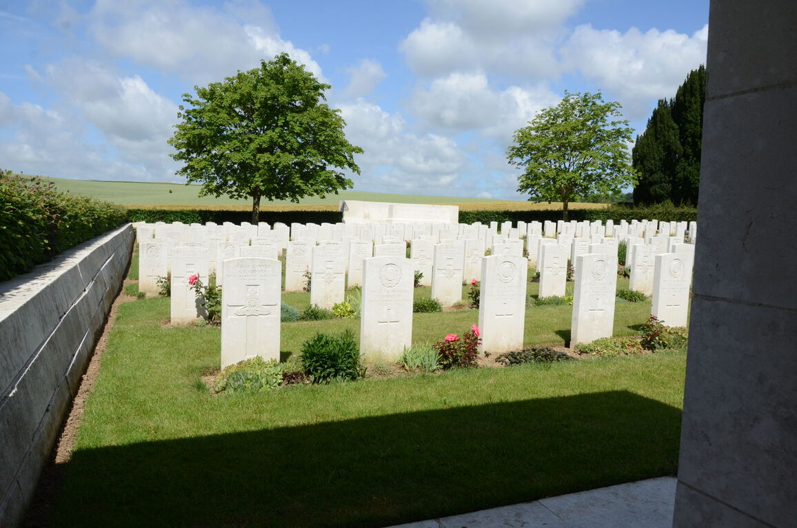
At the rear shelter are 3 stone steps leading up into the burial area. There is a paved area, approximately 500 mm deep and 2 metres wide at the top of the steps between the grass and the building. There is a raised stone block on the right side of the top step. The paving is level with the grass.
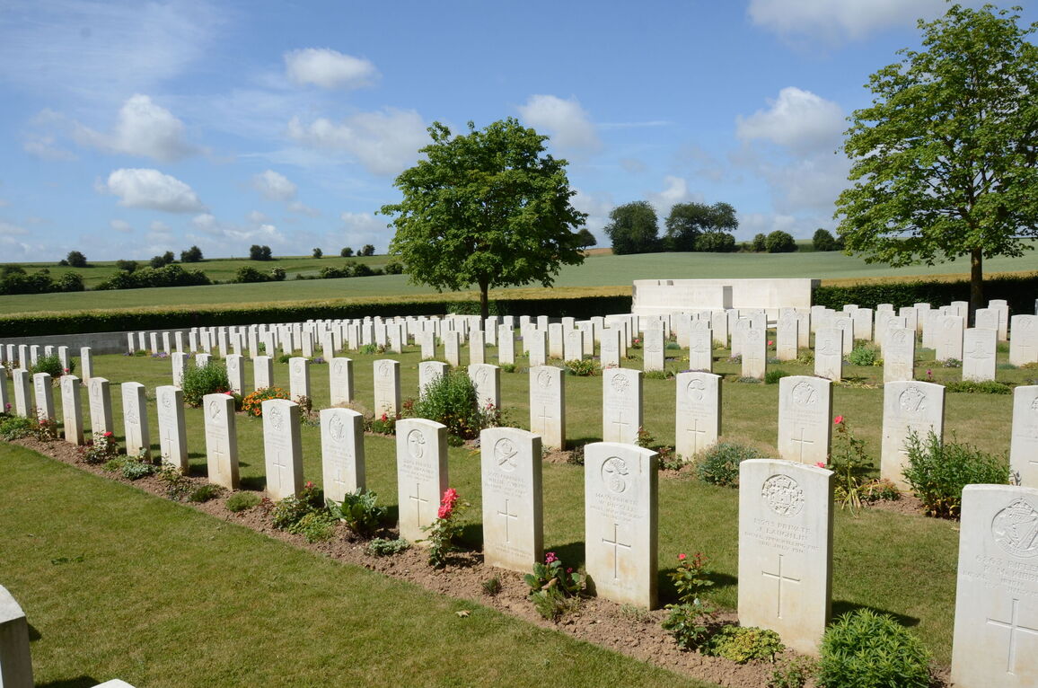
The Cross of Sacrifice is to the right of the main entrance along the front of the cemetery.
The Stone of Remembrance is at the opposite end of the cemetery in line with the Cross of Sacrifice. There is a stone seating area behind the Stone of Remembrance.
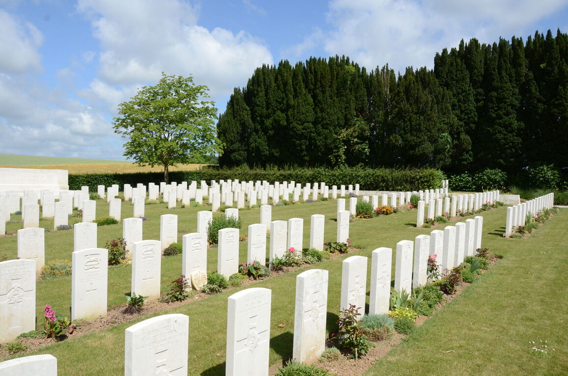
The internal paths are grass and firm. The cemetery slopes upwards from the entrance building towards the Cross of Sacrifice up to the right side of the cemetery.
There is a raised platform on the right side of cemetery. Four steps lead up to a small burial area. There is a grass ramp to the right of the steps leading up to the raised area.
ALTERNATIVE ACCESS
There is no alternative access into the cemetery.
ADDITIONAL INFORMATION
The cemetery is permanently open.
History information
Commonwealth forces took over this section of the front line from the French in 1915 and in early August, land to the south of the communal cemetery was set aside for military graves. Field ambulances were stationed in the village from February to July 1916.
Plot I of the extension contains the graves of men who died on the Somme front from September 1915 to June 1916. The graves in Plot II relate to the Somme offensive of July and August 1916 and those in Plot III to the operations of the autumn of 1916.
In the spring of 1917 the front line moved to the east and it was not until the German advances of April 1918, which came to a halt just east of the cemetery, that further burials were made in Plot IV.
There are now 304 Commonwealth burials of the First World War in this site. The extension also contains seven German war graves.
The cemetery extension, one of the first three Commission sites to be built after the First World war, was designed by Sir Reginald Blomfield.


