Bertrancourt Military Cemetery
- Country France
- Total identified casualties 417 Find these casualties
- Region Somme
- Identified casualties from First World War
- GPS Coordinates Latitude: 50.09082, Longitude: 2.55083
Location information
Bertrancourt is a village in the Department of the Somme.
Using the D919 from Arras to Amiens you will drive through the villages of Bucquoy, Puisieux, Serre-les-Puisieux and then Mailly-Maillet (approximately 25 kilometres south of Arras).
On leaving Mailly-Maillet, 100 metres further along the D919, turn right following the signs for Bertrancourt village (approximately 3 kilometres).
On arrival at Bertrancourt take the first turning left and continue for 300 metres. A signpost will be seen which will direct you right onto a small lane which continues straight to Bertrancourt Military Cemetery.
Visiting information
ARRIVAL
The cemetery is west of the village of Bertrancourt, at the edge of a wooded area to the left of a single width farm road, off or Rue des Barbiers. There are two large farm buildings to the East of the wooded area. There is a CWGC cemetery sign at the edge of the wooded area pointing down a grass track leading to the cemetery. The track deteriorates past the farm buildings and is uneven with a mixture of tarmac and compacted gravel.
PARKING
It is possible to drive along the grass track, up to the main gate and park within 1 metre of the main entrance, but there is no space to turn around. There is no space to park on the farm road leading to the grass track.
Care should be taken during periods of inclement weather as the ground can be waterlogged and muddy.
ACCESS LAYOUT AND MAIN ENTRANCE
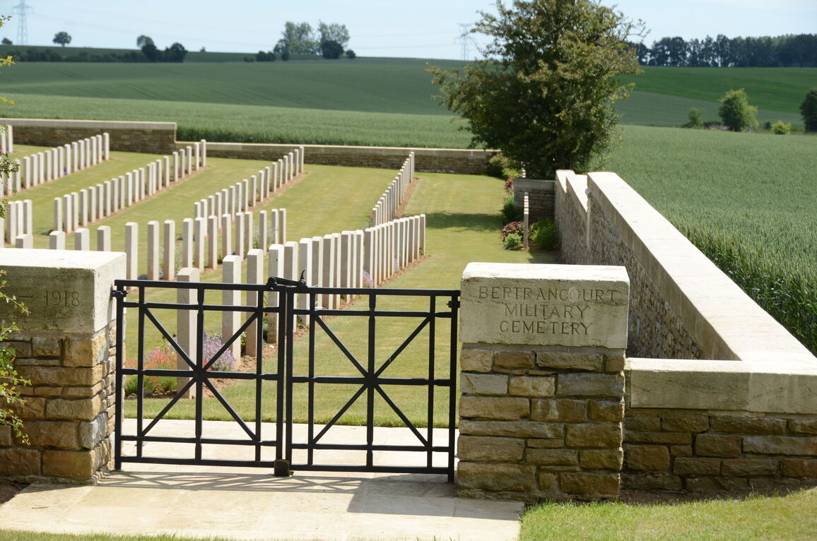
The cemetery is on a slope, downwards from the main entrance. The main entrance is paved both inside and outside the entrance and is level with the grass on either side.
There is a 1.2 metre wide, double width, mid-level, thigh height black metal gate, the latch is on the top right corner of the left gate section. The other section can be opened by lifting a vertical handle at the bottom of the right gate. Both sections open into the cemetery. There are raised gate stoppers in the paving on the inside of the entrance.
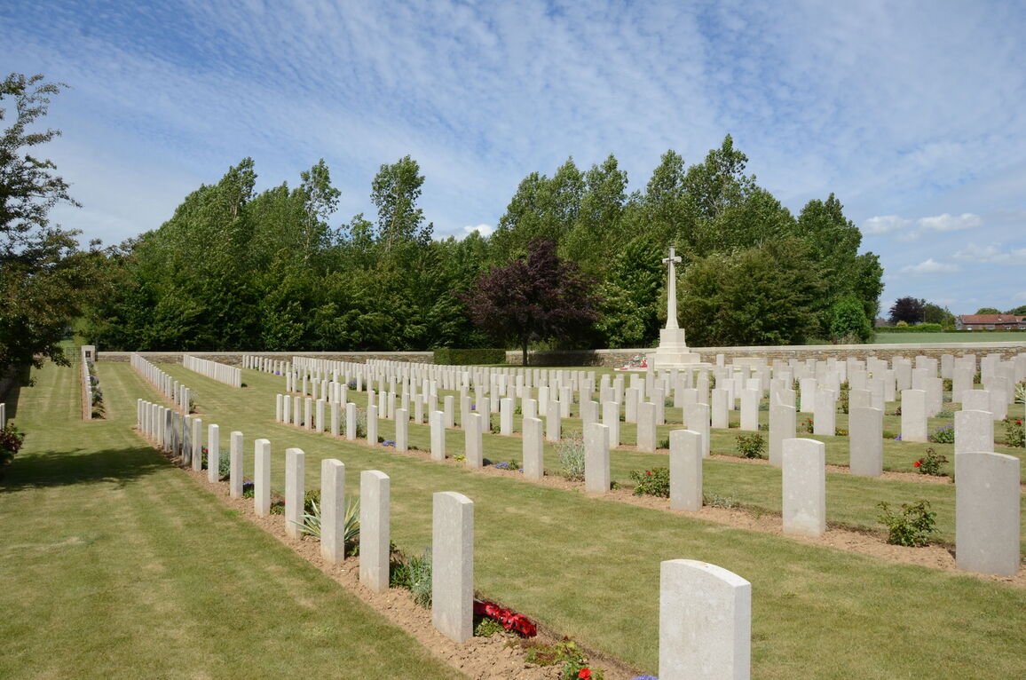
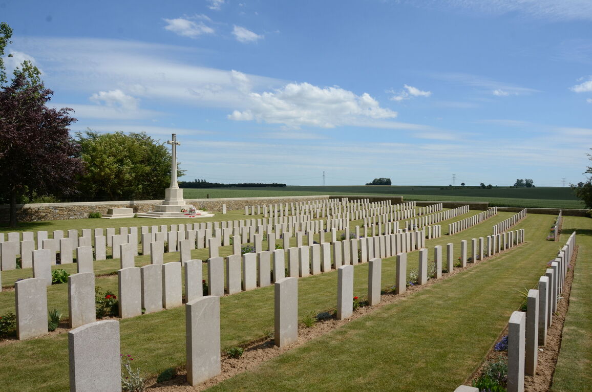
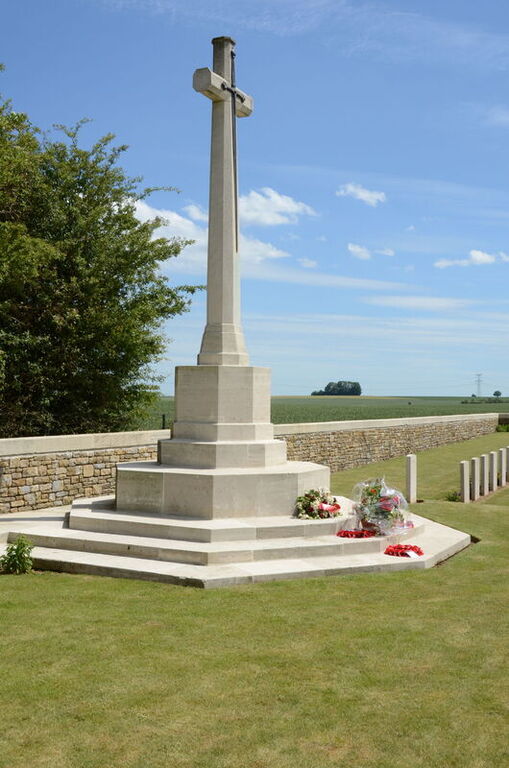
The Cross of Sacrifice is midway down the left side perimeter wall on a raised grass area.
There are stone benches on either side of the Cross of Sacrifice, built into the platform the Cross is built on. There are two steps up to the platform, with a dirt strip 75 mm wide between the grass and lower steps.
The Register Box is built into the left-hand pillar of the main gate on the inside of the cemetery.
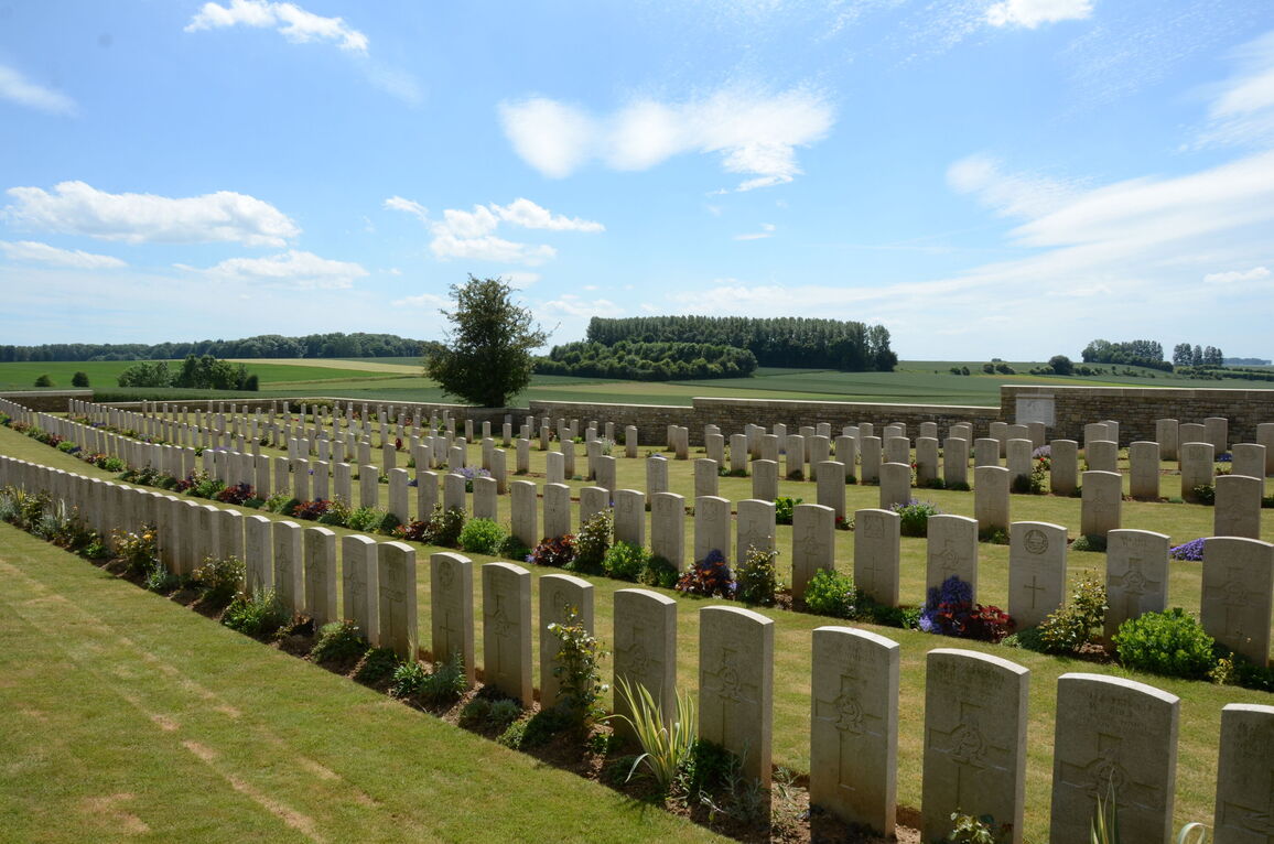
The ground levels vary throughout the cemetery; the internal paths are grass and the ground is firm.
ALTERNATIVE ACCESS
There is no alternative entrance into the cemetery.
ADDITIONAL INFORMATION
The cemetery is permanently open.
History information
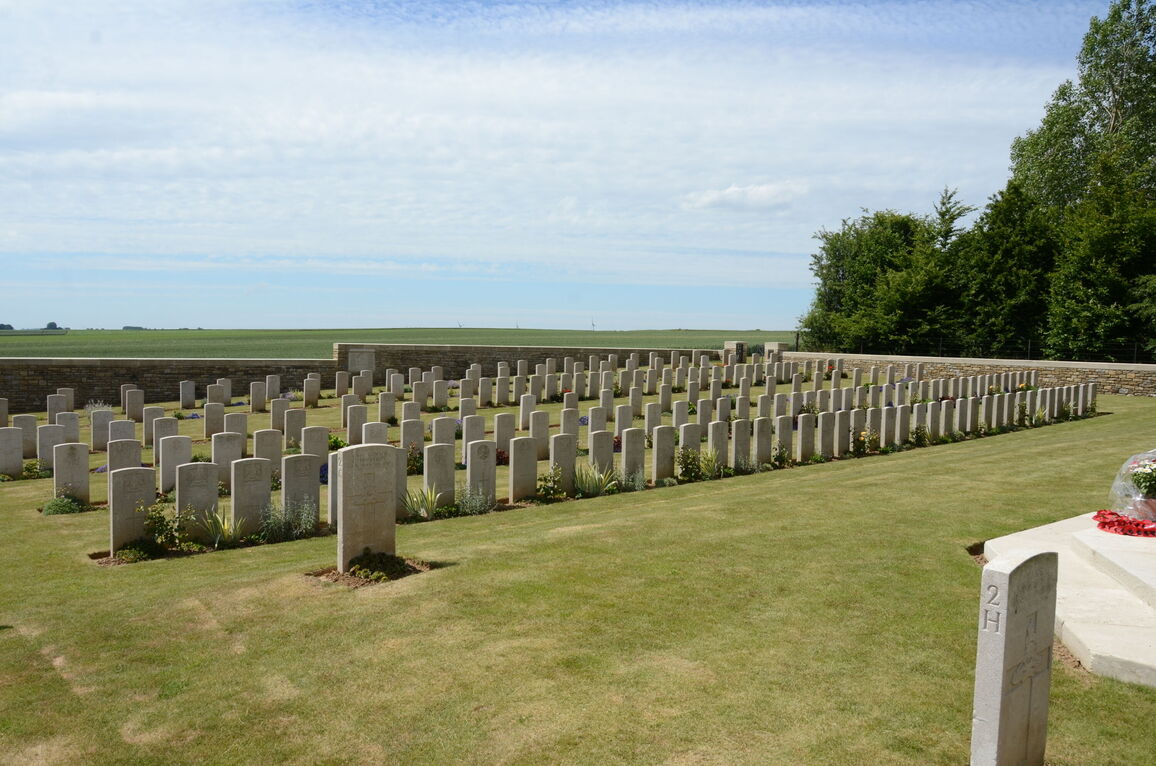
The cemetery was used by field ambulances in 1916 and 1917 and again by corps and divisional burial parties in the critical months of June, July and August 1918, when German advances brought the front line to within 8 kilometres of Bertrancourt.
There are 416 Commonwealth burials of the First World War in the cemetery. Many of the graves are of Yorkshire or Lancashire regiments.
The cemetery was designed by Sir Reginald Blomfield.


