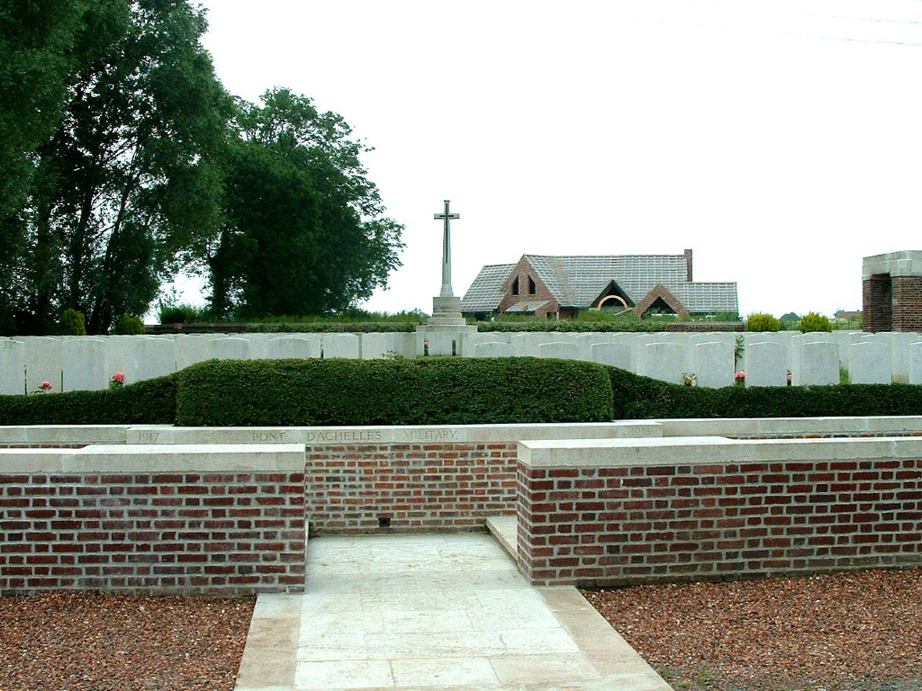
Pont-D'achelles Military Cemetery, Nieppe
- Country France
- Total identified casualties 325 Find these casualties
- Region Nord
- Identified casualties from First World War
- GPS Coordinates Latitude: 50.71538, Longitude: 2.81914
Location information
The village of Nieppe is about 3.5 kilometres north-west of Armentieres on the road to Bailleul.
Leave Nieppe on the D933. 900 metres from the church turn right onto Rue du Sac. The Cemetery is on the right hand side 200 metres from the main road.
Visiting information
Wheelchair access is possible with some difficulty.
For further information regarding wheelchair access, please contact our enquiries department on telephone number 01628 634221.
History information
Pont-d'Achelles was within the Allied lines from 16 October 1914 until 11 April 1918, when the 34th Division were driven out of neighbouring Nieppe after hard fighting, which the Royal Newfoundland Regiment and the 1/2nd Monmouths continued for some hours at Pont-d'Achelles. Nieppe was recaptured by the 29th Division on 3 September 1918.
The military cemetery at Pont-d'Achelles was begun in June 1917 and used by field ambulances and fighting units until the German advance in the following April. It was used by the Germans during their occupation, under the name of Papot Military Cemetery, and it was resumed by the British in September and October 1918.
The cemetery contains 293 Commonwealth and 37 German burials of the First World War.
The cemetery was designed by Sir Herbert Baker.


