Ration Farm (La Plus Douve) Annexe
- Country Belgium
- Total identified casualties 195 Find these casualties
- Region Hainaut
- Identified casualties from First World War
- GPS Coordinates Latitude: 50.754, Longitude: 2.86352
Location information
Ration Farm (La Plus Douve) Annex is located 10.5 Kms south of Ieper town centre, on a road leading from the Rijselseweg N365, which connects Ieper to Wijtschate and on to Armentieres.
From Ieper town centre the Rijselsestraat runs from the market square, through the Lille Gate (Rijselpoort) and directly over the crossroads with the Ieper ring road. The road name then changes to the Rijselseweg.
The first right hand turning in the village of Messines leads onto the Mesenstraat. 2 Kms along the Mesenstraat on the left hand side lies the street Plus Douve. The cemetery is located 500 metres along the Plus Douve on the right hand side of the track.
Visiting information
ARRIVAL
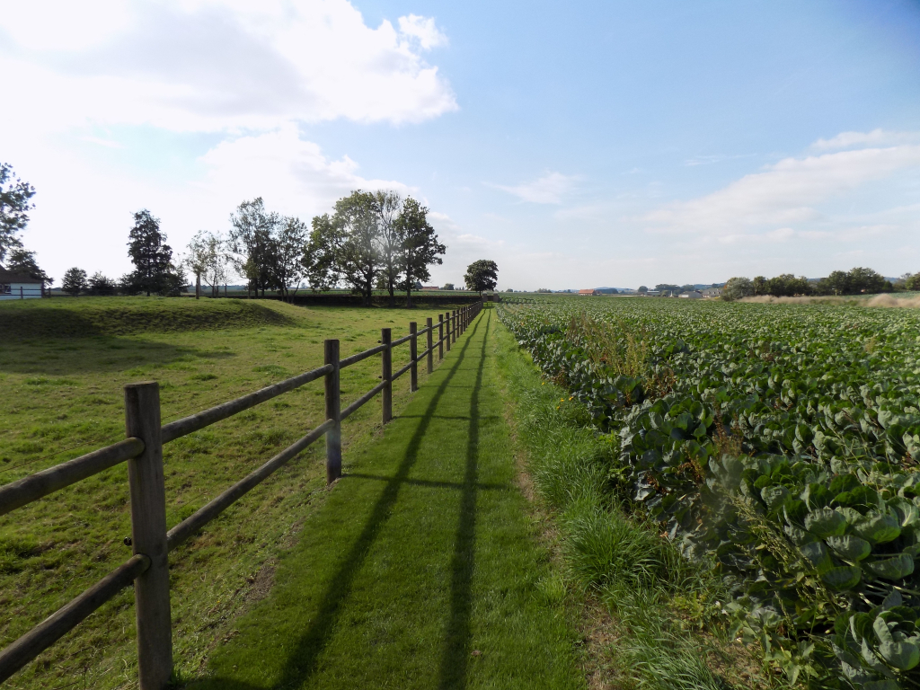
Access to the cemetery is by a single vehicle width concrete farm track. Follow the track until it reaches farm buildings, approximately 450 metres from the main road (N314 Mesenstraat)
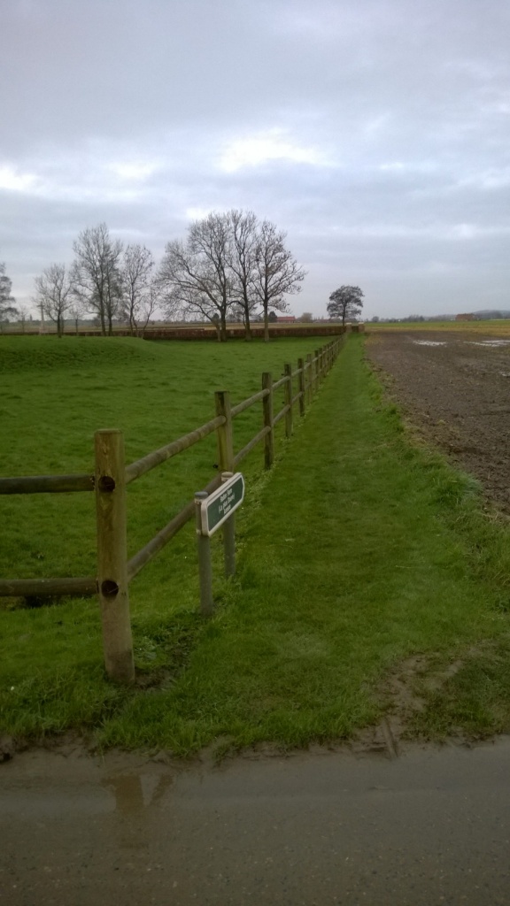
At the edge of the track is a grass and earth path, through agricultural land to the entrance of the cemetery, a distance of 100 metres from the parking area.
The cemetery is located within agricultural fields. There is a grass track across field to access the main gate from the parking area.
PARKING
It is possible to park on the side of the single lane track adjacent to a farm building. This is a working farm and care must be taken when parking and on site.
The ground is firm and flat with a concrete surface. Access to the path leading to the cemetery is across the concrete area in front of the farm buildings. The path is marked with a CWGC green cemetery direction sign.
ACCESS LAYOUT AND MAIN ENTRANCE
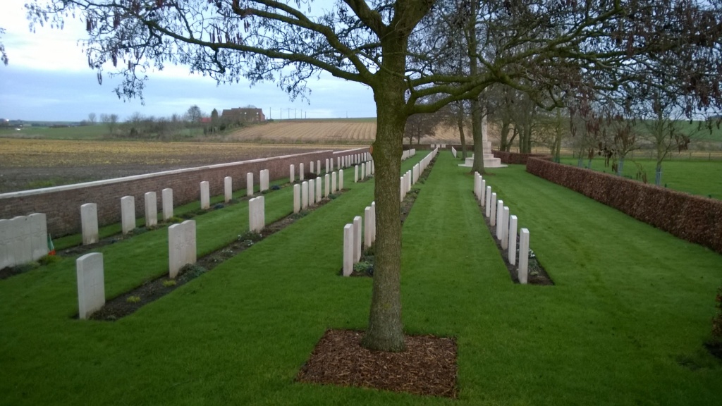
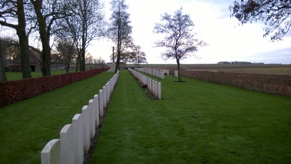
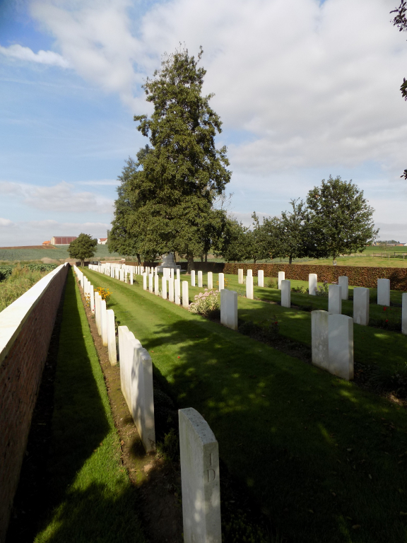
The cemetery is long, thin, and rectangular and close to La Plus Douve Farm Cemetery.
The main entrance to the cemetery is accessed directly by a narrow grass track through fields. There is a concrete fence on the left side of the track.
A black metal mid-level (thigh height) gate with a lever (up-down) latch on the top left of the gate. The gate opens into the cemetery. There is a stone paved area under the gate and inside the cemetery. The paving is level with the grass.
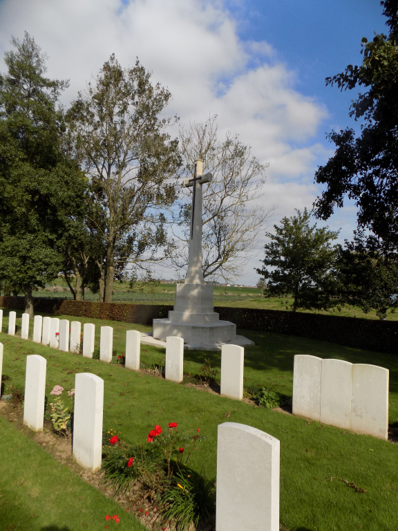
The Cross of Sacrifice is at the mid-point of the site along the eastern boundary.
There is a stone bench built against the perimeter wall at the bottom end of the cemetery.
The Register Box is inside the cemetery, built into the right-hand pillar at the main entrance,
All internal paths are grass, the ground is flat and firm.
ALTERNATIVE ACCESS
There is no alternative access into the cemetery.
ADDITIONAL INFORMATION
The cemetery is permanently open.
History information
In the valley of the river Douve, north of Ploegsteert Wood, were two farms. 'La Petite Douve' was the object of a successful raid by the 7th Canadian Infantry Battalion in November 1915 and 'La Plus Douve', which was generally within the Allied lines, was used at times as a battalion headquarters. It was also known as Ration Farm because battalion transport could approach it at night with rations.
Ration Farm (La Plus Douve) Annexe was begun in January 1915 and used until January 1918. It contains 202 Commonwealth burials of the First World War.
The cemetery was designed by G H Goldsmith.