Erquinghem-Lys Churchyard Extension
- Country France
- Total identified casualties 680 Find these casualties
- Region Nord
- Identified casualties from First World War
- GPS Coordinates Latitude: 50.67913, Longitude: 2.84656
Location information
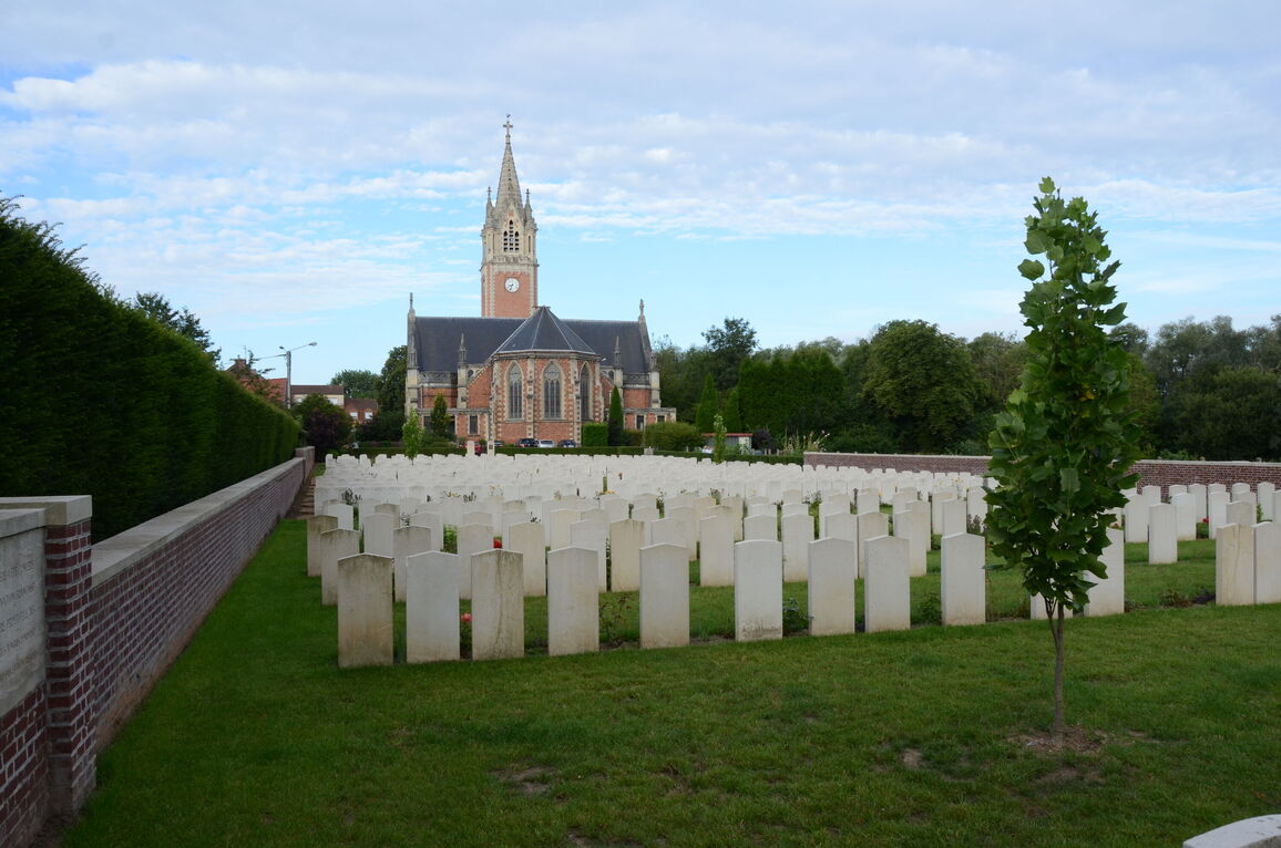
The village of Erquinghem-Lys is situated approximately 1.5 kilometres west of Armentieres.
Take the D945 from Armentieres toward the centre of Erquinghem-Lys and then turn right immediately before the Town Hall. The cemetery is 50 metres along this road on the right hand side.
Visiting information
The cemetery is always open to visit.
Wheelchair access to site is possible, but may be by alternative entrance. For further information regarding wheelchair access, please contact our Enquiries Section on 01628 507200.
History information
The village of Erquinghem-Lys was occupied by German forces early in October 1914, and taken by the 1st Somerset Light Infantry on 16 October. It remained in Allied hands until 10 April 1918, when the 101st Infantry Brigade and the 1st/4th Duke of Wellington's, after a stubborn defence, evacuated the village during the great German offensive. The village was finally retaken in September 1918.
The earliest Commonwealth burials were made in two places in the churchyard itself, in October 1914-January 1915, but these 27 graves were moved into the extension (Plot II, Row G, and Plot III, Row G) in 1925, the churchyard being closed for burials.
The extension was begun in April 1915 and used by units and field ambulances until April 1918. It was continued down to the stream by the Germans (who also used the churchyard) in the summer of 1918, and in September and October 1918, it was used again for some Commonwealth burials.
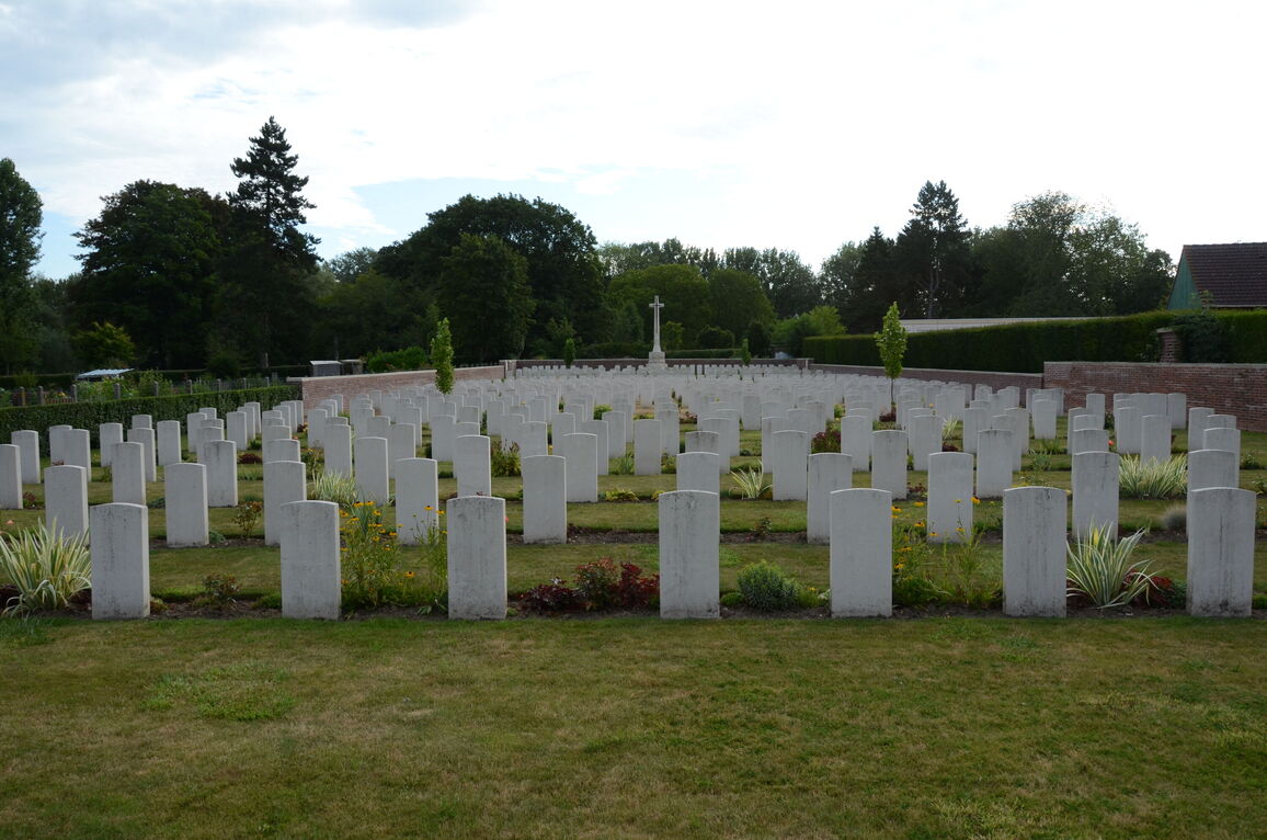
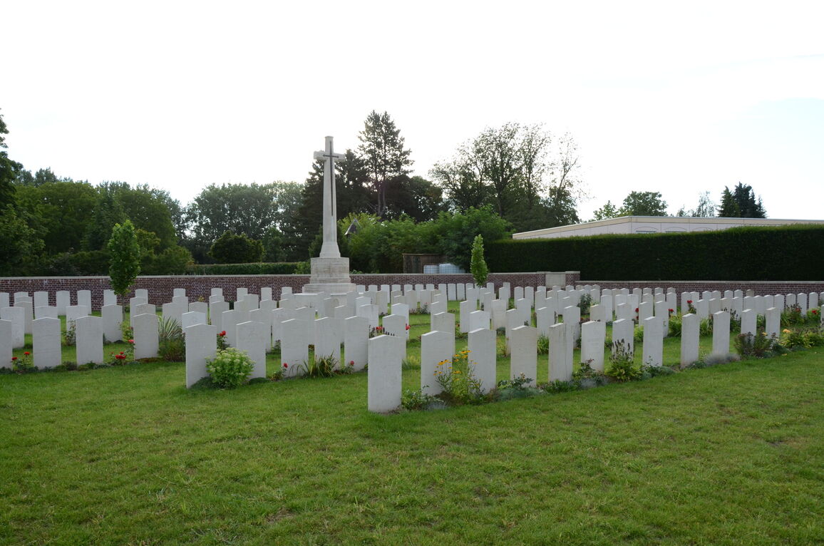
The extension now contains 558 Commonwealth burials of the First World War (eight of them unidentified) and 130 German burials. One unidentified Russian servicemen is also buried in the extension.
The extension was designed by Sir Herbert Baker.


