Y Farm Military Cemetery, Bois-Grenier
- Country France
- Total identified casualties 553 Find these casualties
- Region Nord
- Identified casualties from First World War
- GPS Coordinates Latitude: 50.63963, Longitude: 2.86494
Location information
Bois Grenier is a small village in the Department of the Nord, about 4 kilometres due South of Armentieres.
Leave Bois Grenier on the D222 in the direction of Fleurbaix. After 1200 metres turn left following the signs for the Cemetery, which can be found on the right hand side after the farm, approximately 800 metres from the main road.
Visiting information
ARRIVAL
The cemetery is signposted on the D222, at the junction of Rue de la Guennerie. The cemetery is located on a single lane paved farm track at the junction of Rue de la Guennerie and Rue des Tronchons.
PARKING
There are two parking laybys with space for multiple vehicles.
One layby is directly in front of the cemetery and runs the length of the road-facing perimeter wall.
The second parking area is along the right-hand side of the cemetery, on Rue de Tronchons, near the service entrance.
Both parking areas have space for multiple vehicles to park, with red gravel topped surfaces.
ACCESS LAYOUT AND MAIN ENTRANCE
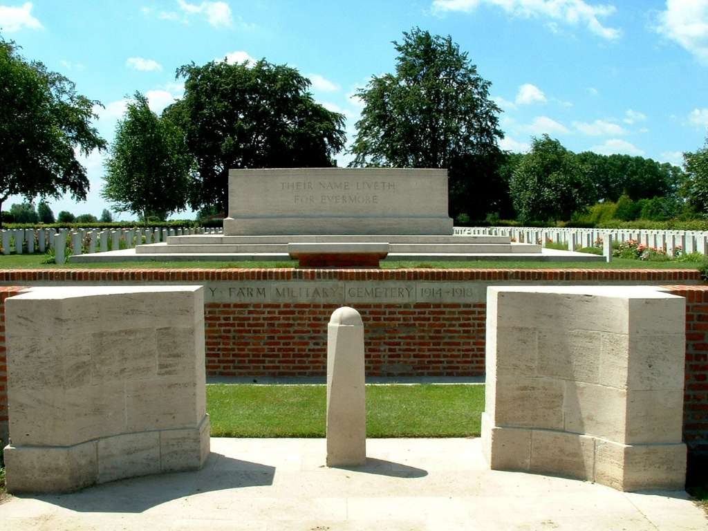
The cemetery is comprised of a raised principal part, with two smaller areas located on either side of the entrance in front of the cemetery walls. A planted border runs alongside the parking layby in front of the two smaller sections.
The main entrance has a 2-metre-wide gap with a stone bollard in the middle. Immediately inside, and on either side of the bollard there is a 10-centimetre step down to a flat compacted gravel topped path that splits to the left and right. On each side are a set of 5 stone steps leading up to a level paving area. An opening in the wall leads to the grass of the burial areas along the front of the cemetery between the road and the cemetery wall surrounding the main cemetery. From the paved areas, four additional steps lead up into main part of the cemetery.
The Stone of Remembrance is close to the front of the cemetery in line with the entrance.
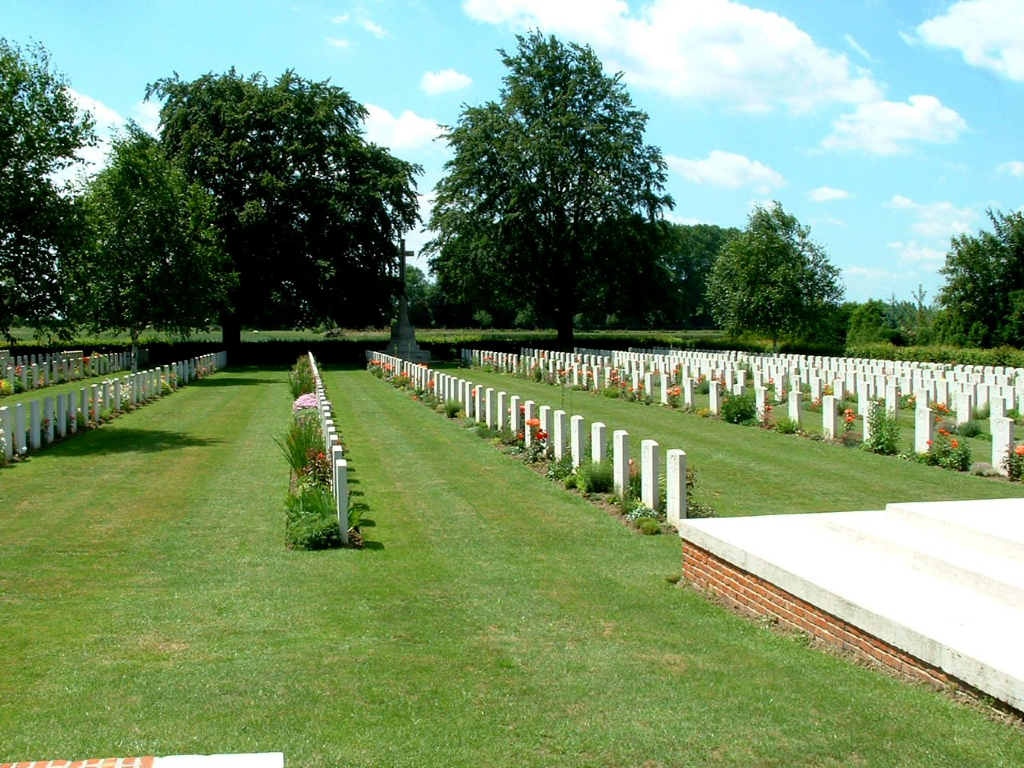
The Cross of Sacrifice is at the rear of the cemetery in line with the Stone of Remembrance and entrance.
The Register Box is mounted into the wall inside the main entrance adjacent to the steps leading up into the cemetery on the left side of the entrance.
There is no seating in the cemetery.
The internal cemetery paths are grass, the ground is flat and firm.
ALTERNATIVE ACCESS
The alternative entrance and route to the alternative access is signposted at the main entrance of the cemetery.
Along the right-hand side of the cemetery is the second parking layby, on Rue de Tronchons. At the bottom end of the layby, at the rear of the cemetery is a black metal gate with a concrete path leading from the road to the gate.
The gate is 1.50 metres wide and is pushed to open into the cemetery. This entrance offers step free access to the site.
ADDITIONAL INFORMATION
The cemetery is permanently open.
History information
The cemetery was named after a nearby farm, called by the Army "Y" (or Wye) Farm. It was begun in March 1915 and used by units holding this sector until February 1918. At the Armistice it contained 335 burials, but it was then increased when graves were brought in from the battlefields south of Armentieres and from the following cemeteries:-
CROIX-BLANCHE BRITISH CEMETERY, FLEURBAIX (Pas-de-Calais), in a garden by the road leading South-East from Croix-Blanche. It was begun by the 2nd Yorks and the 1st Grenadier Guards, and used from November 1914 to July 1916; it contained the graves of 36 soldiers from the United Kingdom
DON GERMAN CEMETERY, ALLENNES-LES-MARAIS (Nord), contained one Indian grave.
DOULIEU CHURCHYARD (Nord), contained the graves of four soldiers from the United Kingdom, who fell in October 1914, and one from Australia, who fell in 1917.
HANTAY COMMUNAL CEMETERY GERMAN EXTENSION (Nord), contained one Indian grave.
LESTREM COMMUNAL CEMETERY EXTENSION (Pas-de-Calais), which was made by the Germans in the summer of 1918. They buried in it three soldiers and two airmen from the United Kingdom. When Lestrem was recaptured, a British Plot was made in which 17 soldiers from the United Kingdom were buried.
MARQUILLIES COMMUNAL CEMETERY and GERMAN EXTENSION (Nord), contained three Indian graves.
MOUVAUX MILITARY CEMETERY (Nord), used from October 1918, to October 1919. It was in the grounds of the Monastery at Haut-Mont, close to the aerodrome. It contained the graves of 51 soldiers and airmen from the United Kingdom, one soldier from Canada, and three men of the Cape Coloured Labour Regiment.
PONT-A-MARCQ COMMUNAL CEMETERY GERMAN EXTENSION (Nord), contained the graves of four soldiers from the United Kingdom and about 150 German soldiers.
TEMPLEUVE COMMUNAL CEMETERY (Nord), in which one soldier from the United Kingdom and one from Australia were buried by the Germans, with about 200 of their men.
Y Farm Military Cemetery now contains 835 burials and commemorations of the First World War. 288 of the burials are unidentified and a special memorial commemorates one New Zealand casualty believed to be buried among them. Another special memorial commemorates an Indian soldier known to have been buried in Marquillies Communal Cemetery German Extension whose grave could not be found.
The cemetery was designed by Sir Herbert Baker.


