Beaurains Road Cemetery, Beaurains
- Country France
- Total identified casualties 311 Find these casualties
- Region Pas de Calais
- Identified casualties from First World War
- GPS Coordinates Latitude: 50.27061, Longitude: 2.78416
Location information
Beaurains is a village on the southern outskirts of Arras, and Beaurains Road Cemetery is just north of the village on the road from Arras (N17).
Visiting information
ARRIVAL
The cemetery is signposted.
PARKING
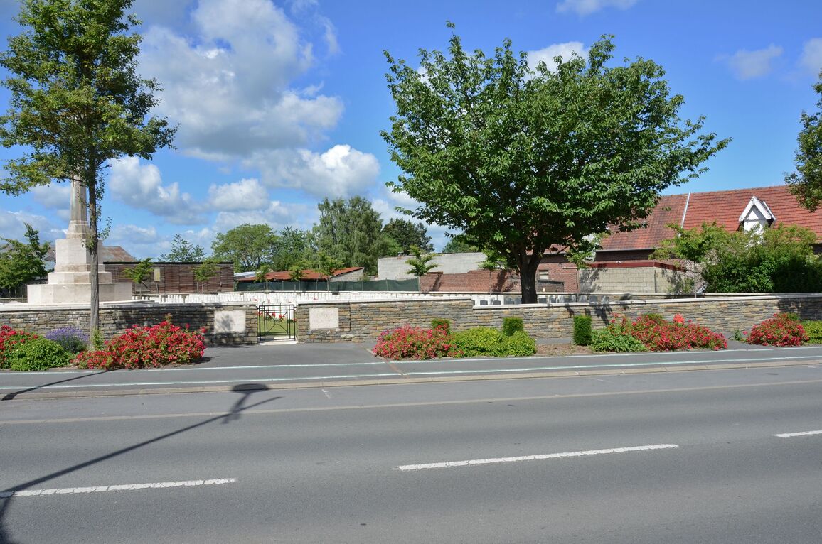
There are parking spaces on both sides of the main road along the front of the cemetery.
Parking is within 10 metres of the main entrance.
The ground is firm and flat with a tarmac surface.
There is a concrete culvert with a raised concrete kerb and a bicycle path between the side of the road and the entrance to the cemetery.
ACCESS LAYOUT AND MAIN ENTRANCE
The main entrance has a 90-centimetre wide, black, metal, mid height (thigh level) gate. The opening latch is on the top left corner of the gate, which opens inwards into the cemetery. Paving at the entrance is level with the footpath and grass inside the cemetery.
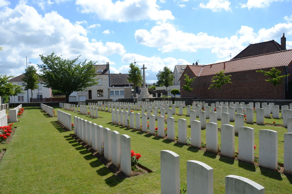
The Cross of Sacrifice is to the left of the main immediately inside the cemetery.
The Register Box is inside the cemetery on the left-hand side, above the bench built into the wall next to the Cross of Sacrifice. There is paving level with the grass in front of the seat and Register Box.
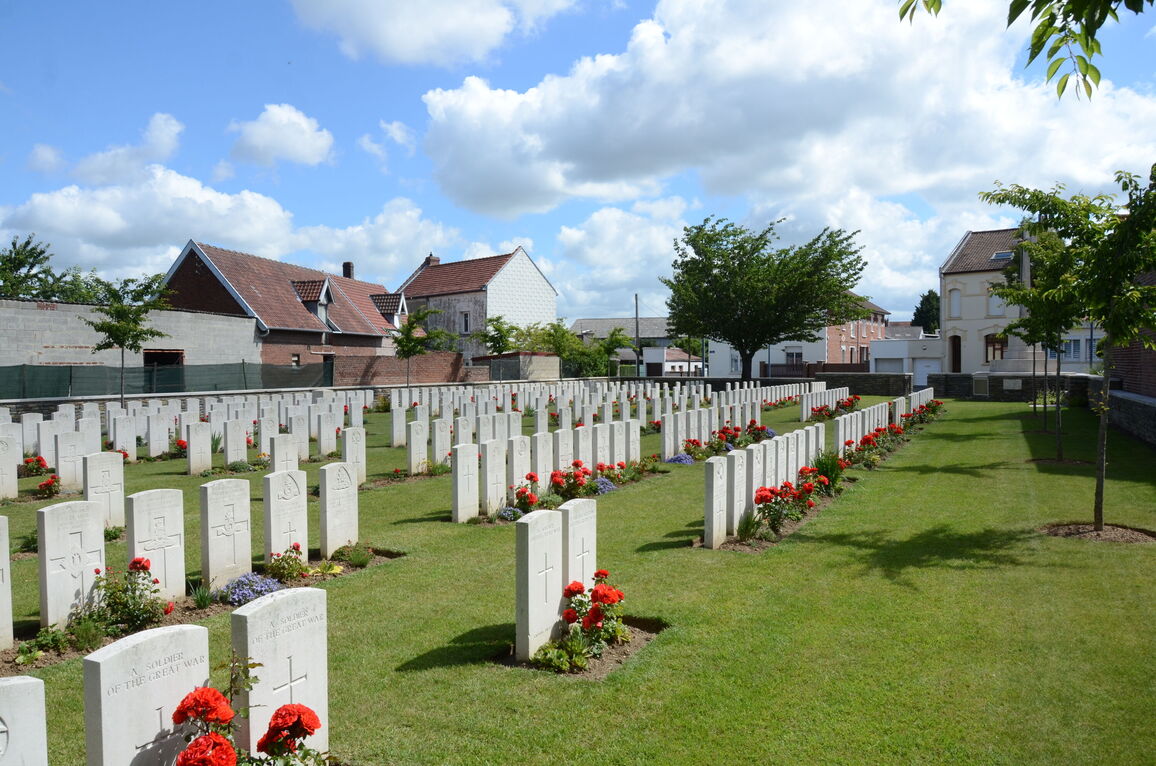
All the internal cemetery paths are grass, the ground is flat and firm.
ALTERNATIVE ACCESS
There is no alternative access into the cemetery.
ADDITIONAL INFORMATION
The cemetery is permanently open.
History information
The cemetery was begun a few days before Beaurains was captured by Commonwealth forces on 18 March 1917. It was a month before the Battle of Arras began, and the Germans were still in nearby Tilloy-les-Mofflaines. The cemetery was used (sometimes under the name of Ronville Forward Cemetery) until the beginning of June by the 14th (Light) Division Burial Officer and by fighting units. It was used again for a short time in August and September 1918, in the Second Battle of Arras. It contained, at the date of the Armistice, the graves of 129 British soldiers, 15 French soldiers and four German prisoners. It was enlarged after the armistice when graves were brought in from the surrounding battlefields and the following cemeteries:-
RONVILLE BRITISH CEMETERY was among the houses in the Faubourg St. Sauveur, a little south of the Bapaume road. It was used from April to July 1917 (when most of the burials were made by the 20th King's Royal Rifle Corps), and by the 141st Field Ambulance in August and September 1918. It contained 179 Commonwealth burials.
RONVILLE FRENCH CEMETERY adjoined the British Cemetery. It was used by Commonwealth troops from February to April 1917 and again in August 1918. It contained 26 burials.
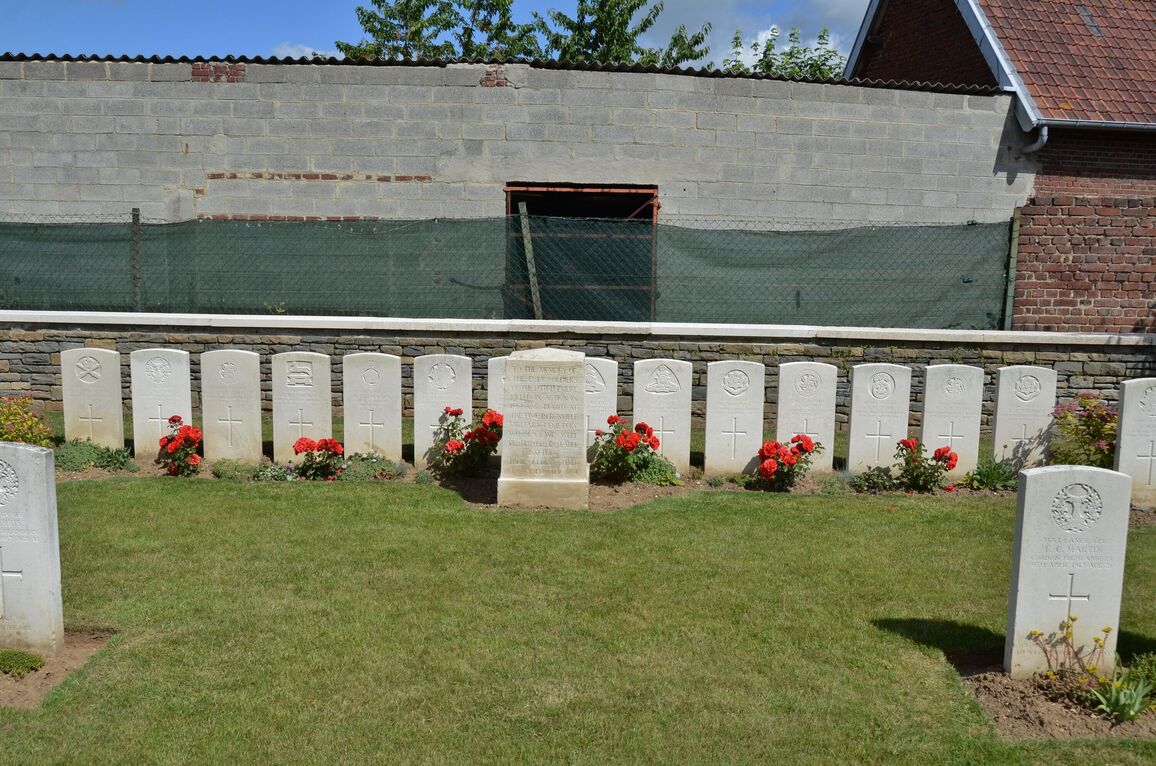
The cemetery now contains 331 Commonwealth burials and commemorations of the First World War. 23 of the burials are unidentified and there are special memorials to 14 casualties buried in Ronville British Cemetery, whose graves were destroyed by shell fire. The cemetery also contains four German graves.
The cemetery was designed by Sir Edwin Lutyens.


