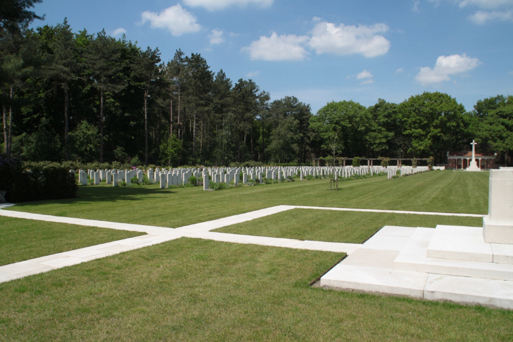
Bergen-Op-Zoom War Cemetery
- Country Netherlands
- Total identified casualties 1197 Find these casualties
- Region Noord-Brabant
- Identified casualties from First & Second World War
- GPS Coordinates Latitude: 51.50209, Longitude: 4.33289
Location information
Bergen-op-Zoom is a town in the Dutch province of Noord-Brabant, 40 kilometres north-west of Antwerp (Belgium). Bergen-op-Zoom War Cemetery and Bergen-op-Zoom Canadian War Cemetery are almost next to one another, 3 kilometres east of the town centre, on a road named Ruytershoveweg, which runs parallel with the A58 Bergen-op-Zoom to Roosendaal motorway.
The cemeteries can be reached from the motorway by taking the Bergen-op-Zoom exit, which leads on to Rooseveltlaan. At the first crossroads the cemeteries are signposted to the right. There is a further signposted right turn after 1 kilometre, and the cemeteries are 2 kilometres along this road on the left-hand side.
Visiting information
Wheelchair access to this site is possible, but may be by an alternative entrance. For further information regarding wheelchair access, please contact our Enquiries Section on 01628 507200.
History information
Bergen-op-Zoom War Cemetery contains 1,284 Commonwealth burials and commemorations of the Second World War. 116 of the burials are unidentified. Many of the casualties are as a result of the Battle for Walcheren (Operation Infatuate), at the beginning of November 1944. Walcheren was an island that dominated the the entrance to the River Scheldt, which the Germans fortified to prevent the allies gaining access to the vital deep water port at Antwerp. After a hard fought battle, that principally involved units from the 52nd (Lowland) Division, the 5th Canadian Infantry Brigade and the 4th Special Service Brigade, the island was secured on the 8th November 1944.
There are also seven First World War burials (one airman and six unknown sailors) and 21 war graves of other nationalities.


