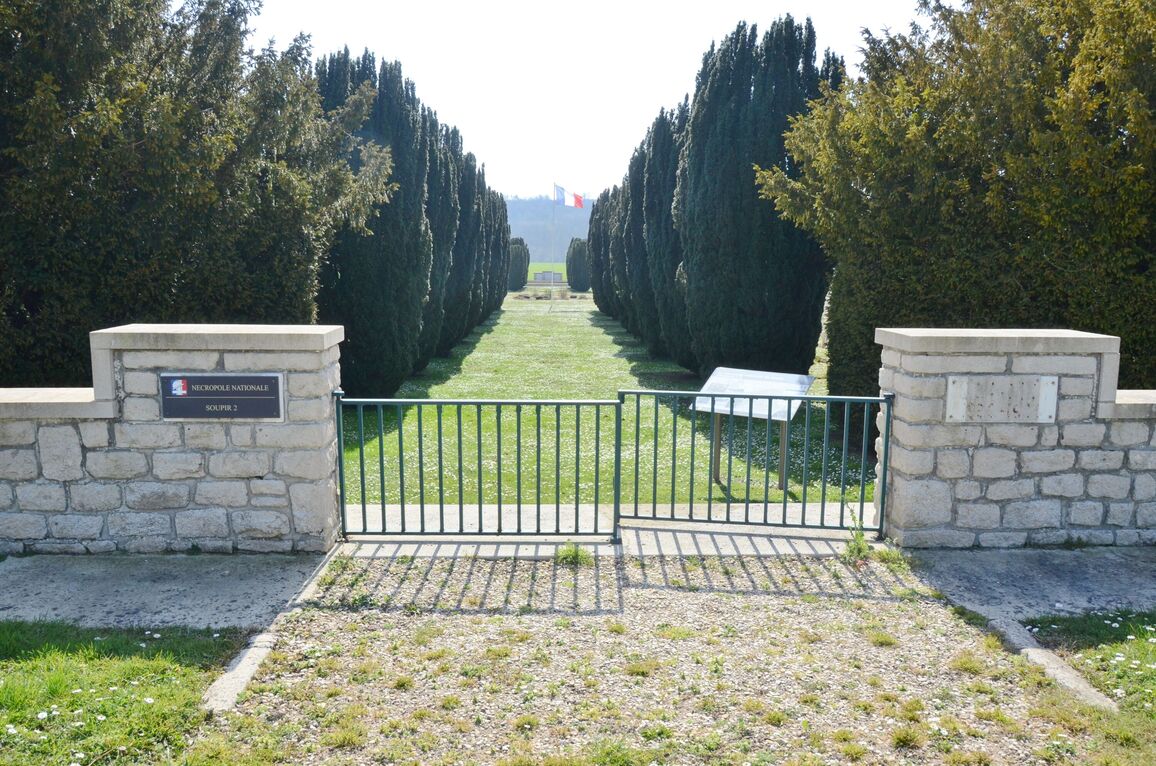
Soupir French National Cemetery No.2
- Country France
- Total identified casualties 0 Find these casualties
- Region Aisne
- Identified casualties from First World War
- GPS Coordinates Latitude: 49.40044, Longitude: 3.59732
Location information
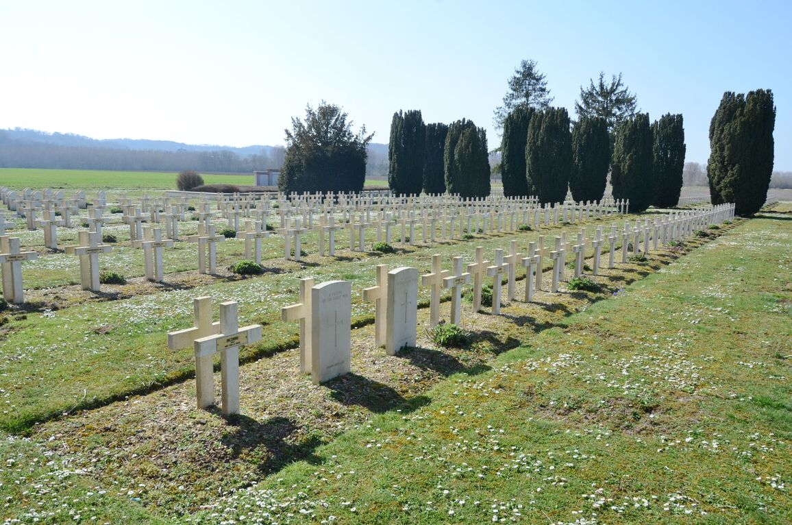
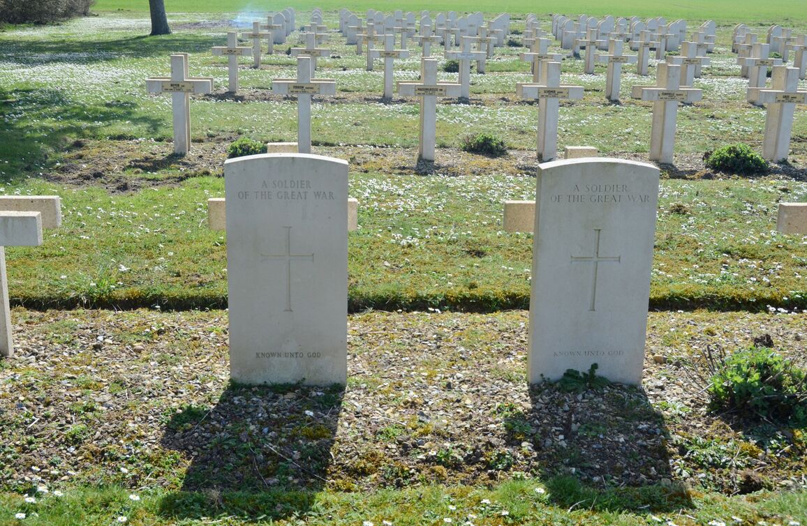
Soupir is a village and commune in the Department of the Aisne, Northern France. Situated on the northern side of the D925 road from Soissons to Guignicourt, about 20 kilometres east of Soissons. The Commonwealth burials are in Graves 1898 and 1899.
History information
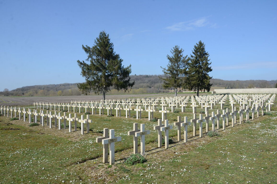
The village was cleared by the Brigade of Guards on 14 September 1914 and on the same day, and for some days later, heavy fighting took place at La Cour de Soupir farm, near the head of the valley north-west of the village. Dressing stations were established at Soupir Chateau and at the farm. The village was in German hands again between 2 and 6 November 1914 and for much of the war it remained very close to the front line.
Soupir French National Cemetery No 2 contains the graves of two unknown Commonwealth servicemen who died in September 1914.