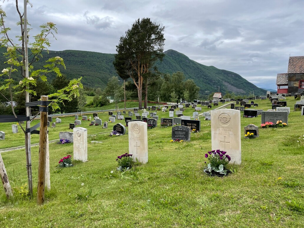
Dovre Churchyard
- Country Norway
- Total identified casualties 3 Find these casualties
- Identified casualties from Second World War
- GPS Coordinates Latitude: 61.98827, Longitude: 9.24756
Location information
The village of Dovre lies adjacent to the main E6 route from Oslo to Trondheim approximately 100 km north of Lillehammer. Exit from the E6 on the slip road sign posted for Dovre and turn left at the T junction towards the church which can be seen 200 m along on the right hand side.
From the gate in front of the church turn right and the graves can be seen at approximately 100 m distance and 40 m from the rear of the church.
History information
During the Second World War, Norway was of strategic importance to the Germans. Their invasion on 9 April 1940 was sudden and widespread and despite Allied intervention, the entire country was under German occupation by early June. Thereafter, Allied activity in Norway was confined to raids and special operations, with the Commonwealth air forces providing support to Norwegian resistance groups until the German capitulation in May 1945. There are no Commonwealth war cemeteries in Norway, those who died there being buried in civil cemeteries and churchyards.
In April 1940, Allied landings took place at Andalsnes, not far from Dovre. Dovre Churchyard contains three Commonwealth burials.