Mosjoen Kapell Cemetery
- Country Norway
- Total identified casualties 1 Find these casualties
- Identified casualties from Second World War
- GPS Coordinates Latitude: 65.83886, Longitude: 13.20565
Location information
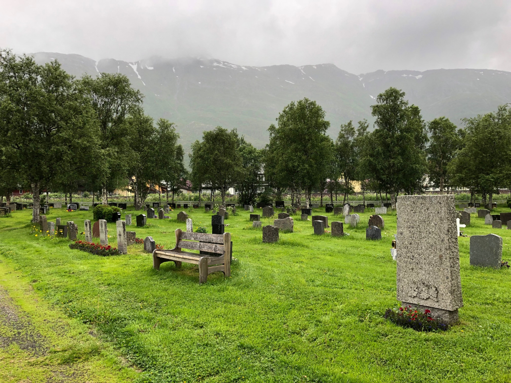
Mosjoen is a port on the Vefsnfjord in north west Norway, approximately 400 kilometres north of Trondheim. Approaching from the south follow the E6 route towards the town centre until reaching the second roundabout just after passing under a footbridge. Take the second exit from the roundabout signed towards the town centre, pass under a railway bridge and over a river bridge then take the first left. Turn immediately beyond the petrol station. After 50 metres turn left again into Kapellveien and go under the small railway bridge. Follow this road round to the right into Skalvegen and the white wooden Mosjoen Kapellet church is along here.
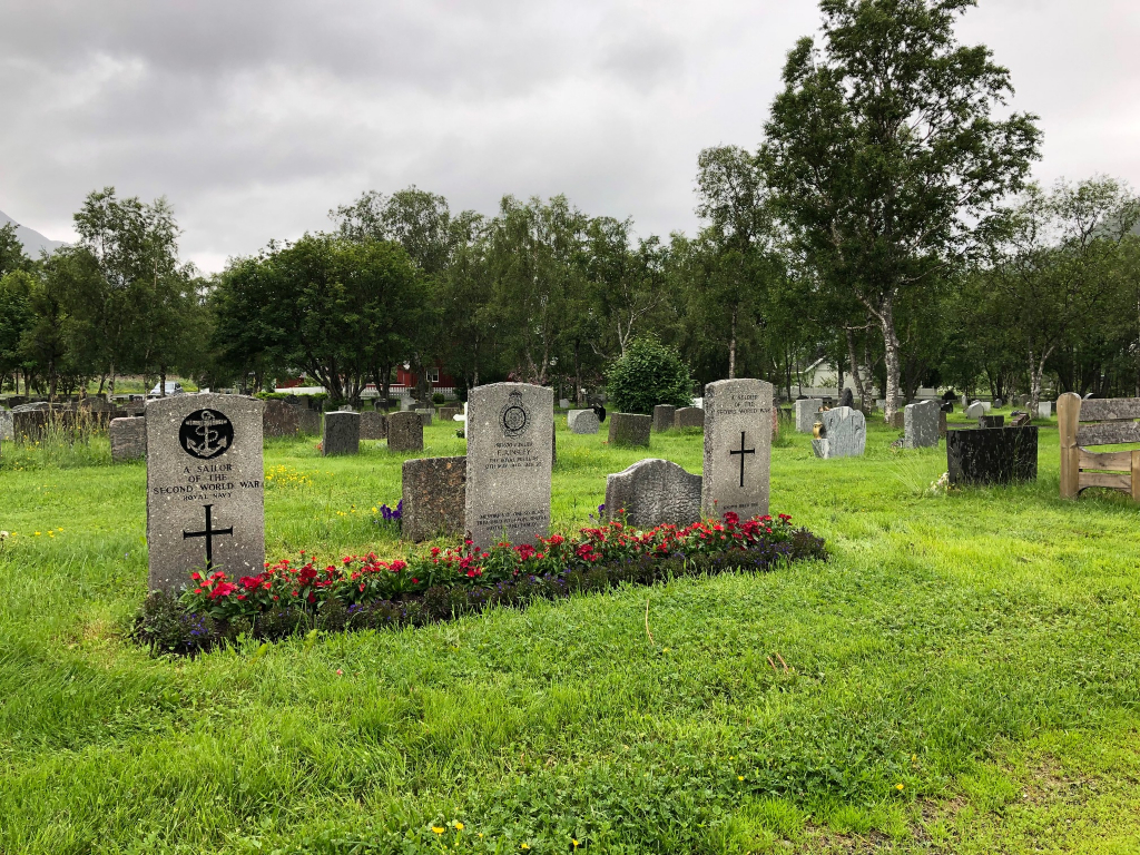
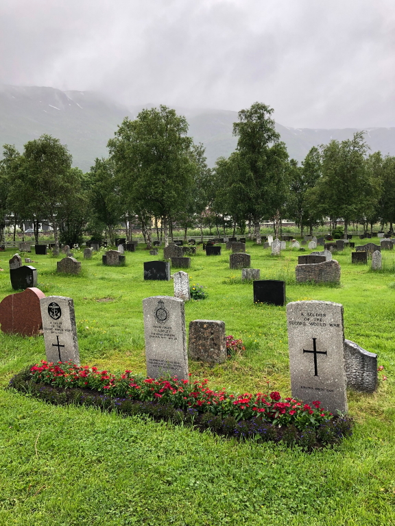
From the entrance to the churchyard, follow the path towards the church for approximately 80 metres to the crossroad and turn right. The three granite headstones are 20 metres along on the right.
NB: A red wooden church lies adjacent to the roundabout on the E6; this is the Dolstad church and is not the location of the Commonwealth war graves.
History information
During the Second World War, Norway was of strategic importance to the Germans. Their invasion on 9 April 1940 was sudden and widespread and despite Allied intervention, the entire country was under German occupation by early June. Thereafter, Allied activity in Norway was confined to raids and special operations, with the Commonwealth air forces providing support to Norwegian resistance groups until the German capitulation in May 1945. There are no Commonwealth war cemeteries in Norway, those who died there being buried in civil cemeteries and churchyards.
Mosjoen was occupied by Allied forces from 2 May 1940 until 12 May, when it was evacuated, owing to the German rapid advance northwards.
Mosjoen Cemetery contains three Commonwealth burials, only one of them identified.


