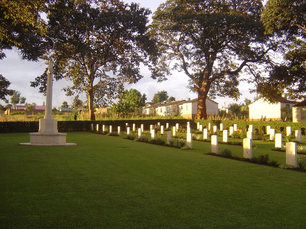
Kitale War Cemetery
- Country Kenya
- Total identified casualties 60 Find these casualties
- Identified casualties from Second World War
- GPS Coordinates Latitude: 1.02114, Longitude: 34.98863
Location information
Kitale is a small town 69 kilometres north-west of Eldoret (226 kilometres from Nairobi). The cemetery is located on the western outskirts of the town, and is somewhat difficult to find.
If coming from Eldoret follow the road through town past the railway station, then turn off left to take the rough road that runs parallel to the main road (used as a market) as far as the north-western side of town. At the very end of this rough road turn left at the direction sign and follow the very rough track approximately 2 kilometres to the cemetery.
Visiting information
Kitale War Cemetery is open Monday-Friday between 06:00 and 18:00. Outside of these hours the cemetery is locked with a coded padlock. If you are intending to visit outside of the opening hours the code to the padlock can be obtained from our office in Kenya on 00 254 20260 4301.
Wheelchair access to this cemetery is possible via main entrance.
For further information regarding wheelchair access, please contact our Enquiries Section on telephone number 01628 507200.
History information
Kitale is in Trans-Nzoia, a district of the Rift Valley Province of Kenya, and is one of the chief townships in the northern part of Kenya. During the 1939-1945 War there were several small military units near Kitale, and also a military hospital. The cemetery contains the graves of 60 East African soldiers who died during the 1939-1945 War.