Geluveld Communal Cemetery
- Country Belgium
- Total identified casualties 1 Find these casualties
- Region West-Vlaanderen
- Identified casualties from Second World War
- GPS Coordinates Latitude: 50.83532, Longitude: 2.99413
Location information
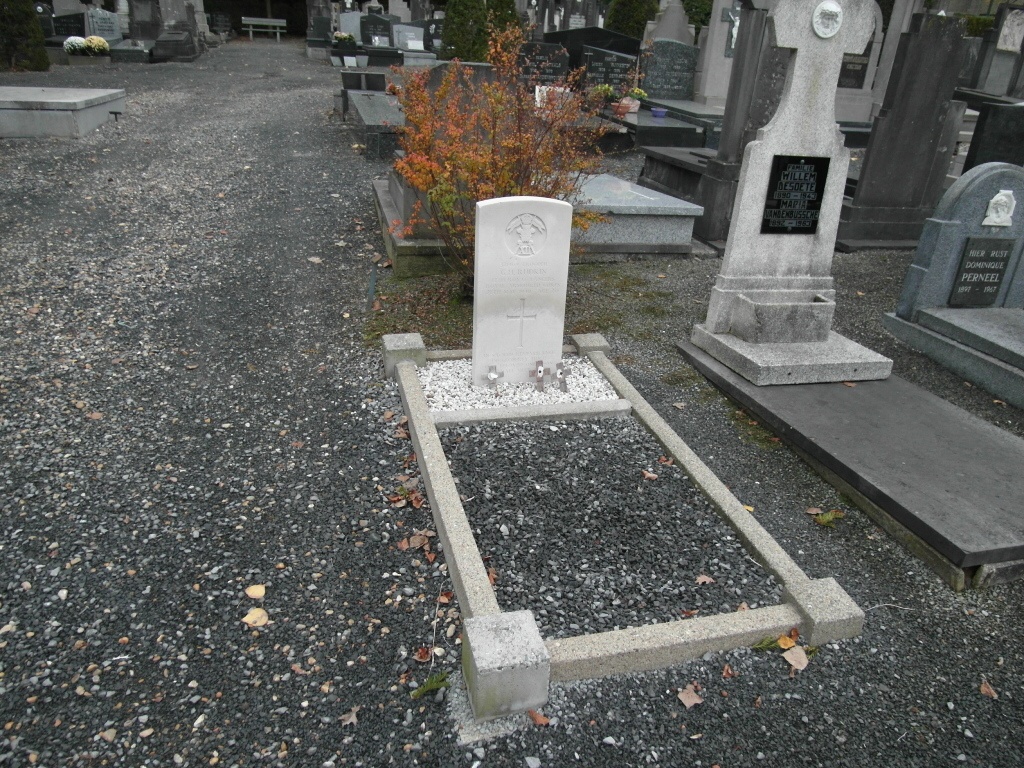
The village of Geluveld (Gheluvelt) is located 8 kms east of the town of Ieper on the N8 which runs between Ieper and Menen. Driving into Geluveld from Ieper, along the Menenstraat, turn left into Geluveldplaats (a branch of the Centea bank is on the corner). Continue along this road passing the church and town square. At the end of the road turn left into Polderweg and the cemetery is about 50 meters along this road on the right. After entering the cemetery take the second path on the left. The single grave will be found on the left hand side of the path at the end of the second plot.
History information
The British Expeditionary Force was involved in the later stages of the defence of Belgium following the German invasion in May 1940, and suffered many casualties in covering the withdrawal to Dunkirk.
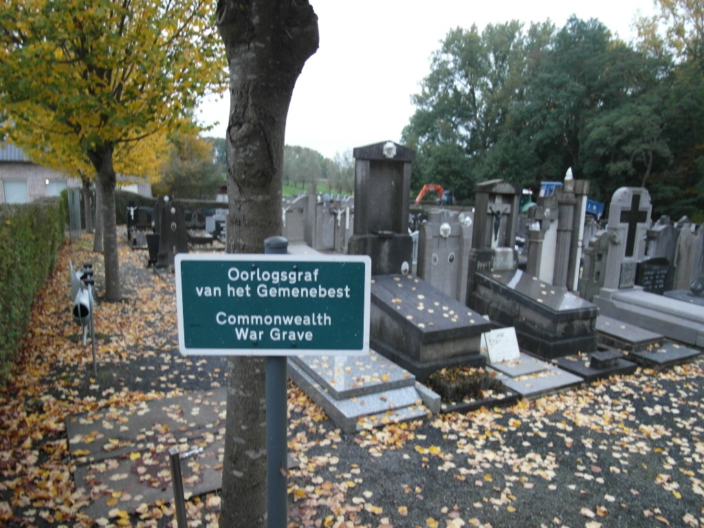
Geluveld Communal Cemetey contains one Commonwealth burial of the Second World War.