Schoonselhof Cemetery
- Country Belgium
- Total identified casualties 1546 Find these casualties
- Region Antwerpen
- Identified casualties from First & Second World War
- GPS Coordinates Latitude: 51.16855, Longitude: 4.36366
Location information
Antwerp lies 57 Km north of Brussels on the E19 and 59 km north east of Gent on the E17 motorway.
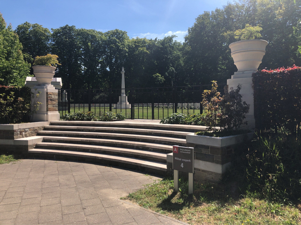
The cemetery itself is located in Wilrijk, a suburb of Antwerp. From the centre follow the Kleine Steenweg until you arrive at the ring road. Turn right and follow the ring road for 250 M to the first set of traffic lights and turn left. Go under the flyover and continue straight on over the dual carriageway into Jules Moretus Lei. Follow this street for 800 M and the entrance to the Municipal Cemetery is on your left. After entering the cemetery follow the Commission signs to the three Commission plots at the far end of the cemetery.
Alternatively ask for their location at the office within the cemetery.
Visiting information
The opening hours for the cemetery are as follows :- Every day 0830-1630.
Wheelchair access is possible via main entrance. For further information on wheelchair access, please contact our Enquiries Section on 01628 507200.
History information
Antwerp was the seat of the Belgian Government from 17 August to 7 October 1914. Towards the end of August, the city was one of the strong positions on the Allied left flank, and by the middle of September, a position of critical importance. It was defended by fortress troops and the greater part of the Belgian Field Army and the Royal Naval Air Service used its aerodrome. On 27 September the Germans laid siege to Antwerp and during the first week of October the Royal Naval Division entered the city, playing a crucial part in its defence. On 9 October, before other British and French reinforcements could arrive, the last forts became untenable and the last defenders retired. From 10 October 1914 to the Armistice, the city was in German hands.
German forces returned to Belgium in May 1940, and occupied Antwerp until its liberation by the Allies on 4 September 1944. The town and port were secured, but it was some weeks further before the approaches from the North Sea could be cleared of German resistance.
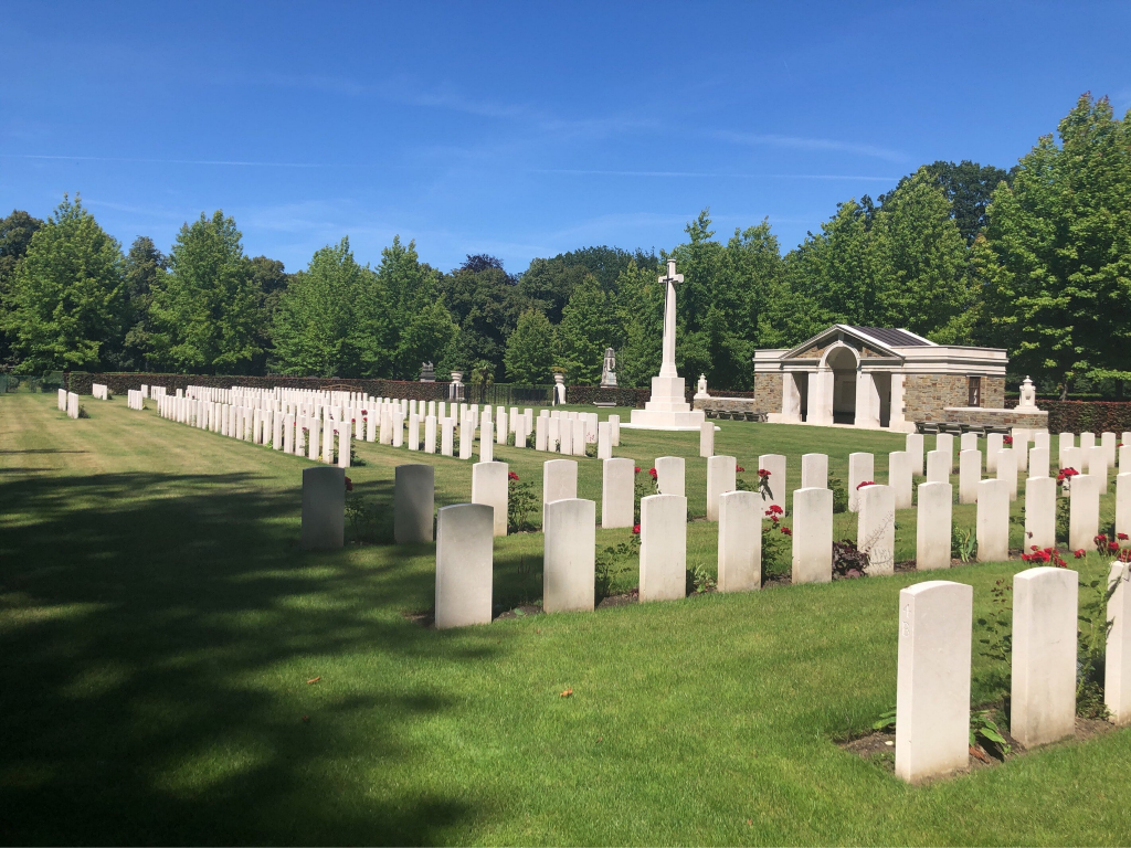
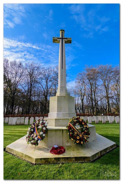
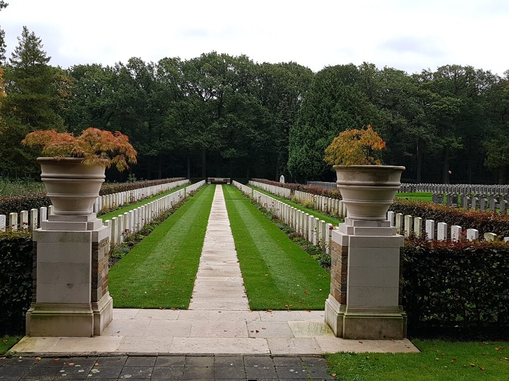
Schoonselhof Cemetery contains 101 Commonwealth burials of the First World War, some of which were brought in from other burial grounds in the area after the Armistice (17 of them were brought in from Lierre German Cemetery, 1 from Bouchout-Les-Lierre Churchyard, 3 from the War Plot in Malines Communal Cemetery and 1 from the Casino garden at Lierre). Second World War burials number 1,455. The Commonwealth plot also contains 16 non-war burials, most of them Merchant seamen whose deaths were not due to war service. There is 1 U.S.A. airman attached to the R.A.F., 16 Polish and 1 French burials here.
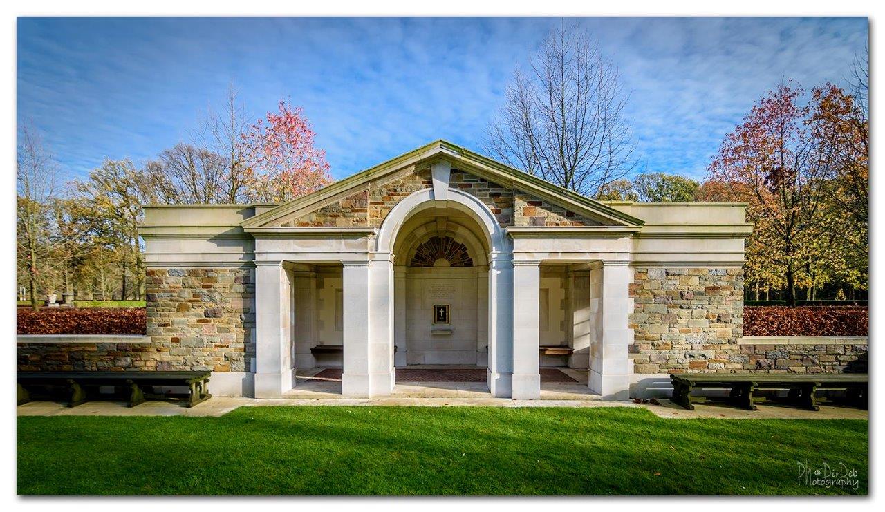
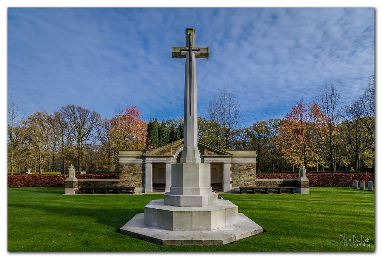
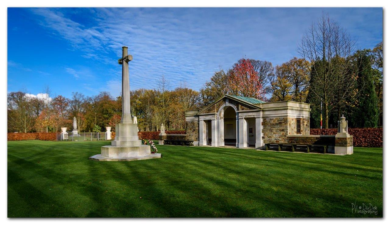
The war graves plots were designed by the Commission's Principal Architect, Philip Hepworth, FRIBA.


