St. Martens-Voeren (Fourons St. Martin) Churchyard
- Country Belgium
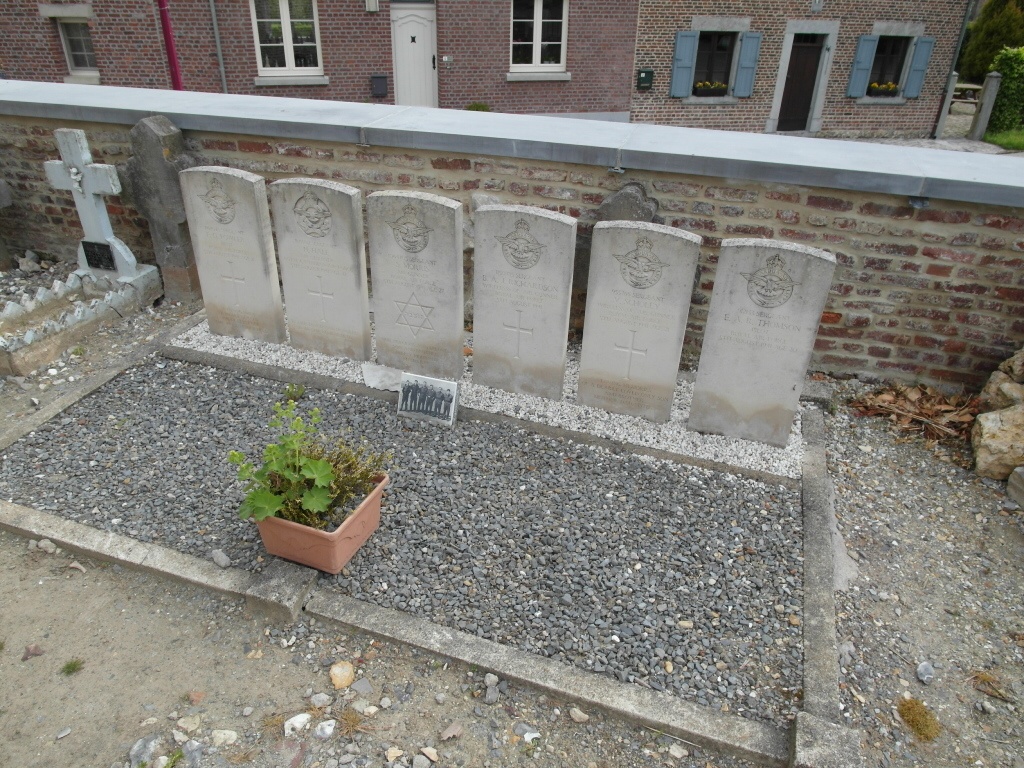
- Total identified casualties 6 Find these casualties
- Region Limburg (Belgium)
- Identified casualties from Second World War
- GPS Coordinates Latitude: 50.74913, Longitude: 5.81275
Location information
The village of Sint-Martens-Voeren is located north of the town of Verviers off the motorway E25. From the motorway E25 which runs between Maastricht and Cheratte turn off at junction 1 and at the T junction turn right towards Moelingen. Follow this road through the village and through the next village 'S-Gravenvoeren and on into Sint-Martens-Voeren. On entering the village the church is on the left and the churchyard is behind the church. The graves are located by the right hand wall.
History information
The British Expeditionary Force was involved in the later stages of the defence of Belgium following the German invasion in May 1940, and suffered many casualties in covering the withdrawal to Dunkirk. Commonwealth forces did not return until September 1944, but in the intervening years, many airmen were shot down or crashed in raids on strategic objectives in Belgium, or while returning from missions over Germany.
St. Martens-Voeren Churchyard contains the graves of six airmen of the Second World War.