Nassogne Communal Cemetery
- Country Belgium
- Total identified casualties 1 Find these casualties
- Region Luxembourg
- Identified casualties from Second World War
- GPS Coordinates Latitude: 50.13174, Longitude: 5.33686

Location information
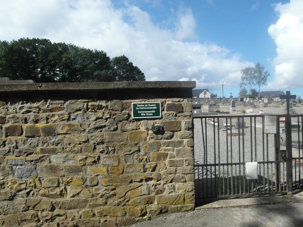
The village of Nassogne is located south-east of Rochefort on the N889. From the motorway E411, which runs between Namur and Luxembourg, turn off at Junction 18 onto the N4, direction Bastogne. Follow the N4 past the junction with the N86/N63 and past the junction with the N869, then take the next turning on the right signed towards Grune and Nassogne. Go through Grune and into Nassogne along Rue Coumont. Follow this road straight over four crossroads to a T junction. At this junction turn right into Rue Richard Heintz and the Cemetery is along here on the right. The Commonwealth burial is in the north-western (old) part of the cemetery.
History information
The British Expeditionary Force was involved in the later stages of the defence of Belgium following the German invasion in May 1940, and suffered many casualties in covering the withdrawal to Dunkirk. Commonwealth forces did not return until September 1944, but in the intervening years, many airmen were shot down or crashed in raids on strategic objectives in Belgium, or while returning from missions over Germany.
Nassogne Communal Cemetery contains the grave of one airman of the Second World War.