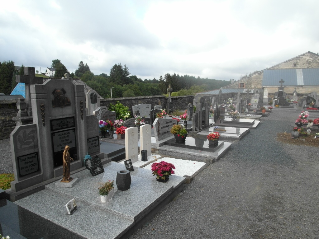
Ucimont Churchyard
- Country Belgium
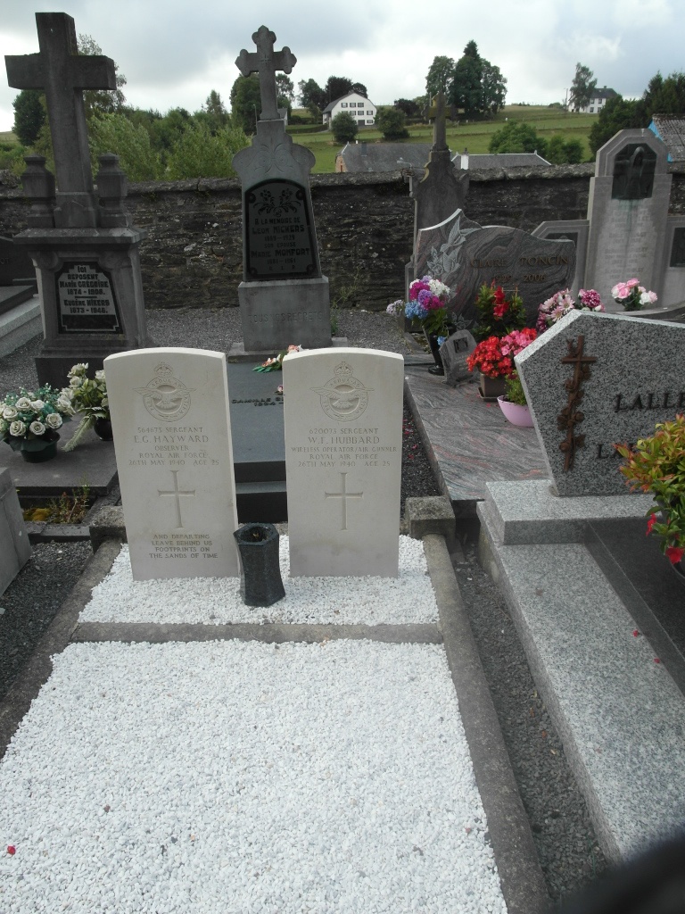
- Total identified casualties 2 Find these casualties
- Region Luxembourg
- Identified casualties from Second World War
- GPS Coordinates Latitude: 49.83089, Longitude: 5.05489
Location information
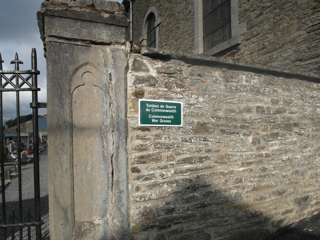
Ucimont is a village and commune 10 kilometres north-north-west of Bouillon, and 4 kilometres west of the Dinant-Beauraing-Bouillon road. The churchyard surrounds the church, which stands in the village centre. The Commonwealth graves are in the southern part, close to the east entrance.
History information
The British Expeditionary Force was involved in the later stages of the defence of Belgium following the German invasion in May 1940, and suffered many casualties in covering the withdrawal to Dunkirk.
Ucimont Churchyard contains the graves of two airmen of the Second World War.