Marles-Sur-Canche Churchyard
- Country France
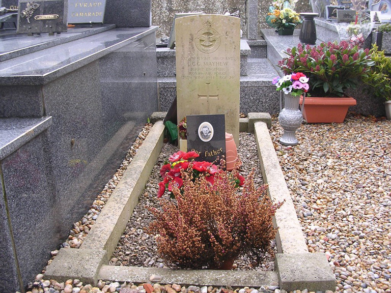
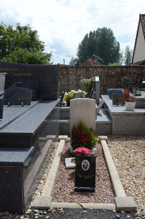
- Total identified casualties 1 Find these casualties
- Region Pas de Calais
- Identified casualties from Second World War
- GPS Coordinates Latitude: 50.45757, Longitude: 1.82684
Location information
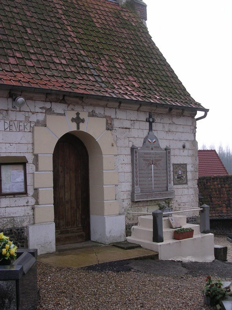
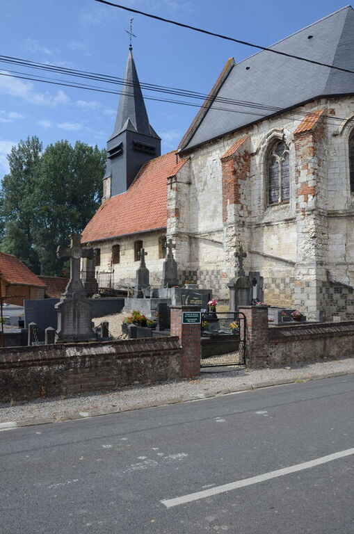
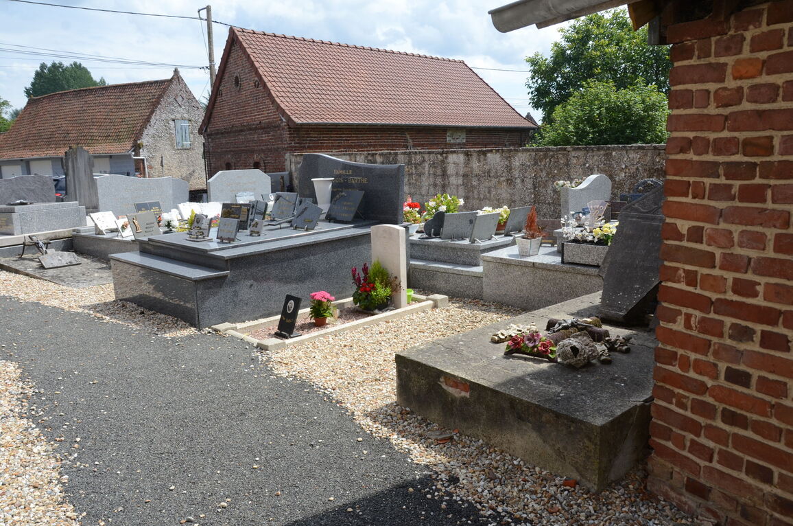
Marles-sur-Canche is a village and commune about 22 miles (35 kilometres) south-east of Boulogne-sur-Mer, and some 3 miles (5 kilometres) east-south-east of Montreuil, a town on the N.1 road from Boulogne to Paris. The most convenient railway station is Montreuil, where taxis are available. The British grave is some 10 yards south of the south-western corner of the church.