Morval Communal Cemetery
- Country France
- Total identified casualties 2 Find these casualties
- Region Pas de Calais
- Identified casualties from Second World War
- GPS Coordinates Latitude: 50.03097, Longitude: 2.87581
Location information
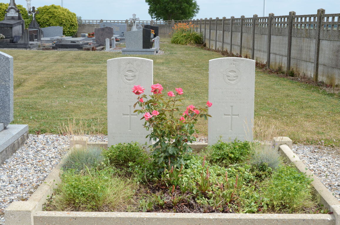
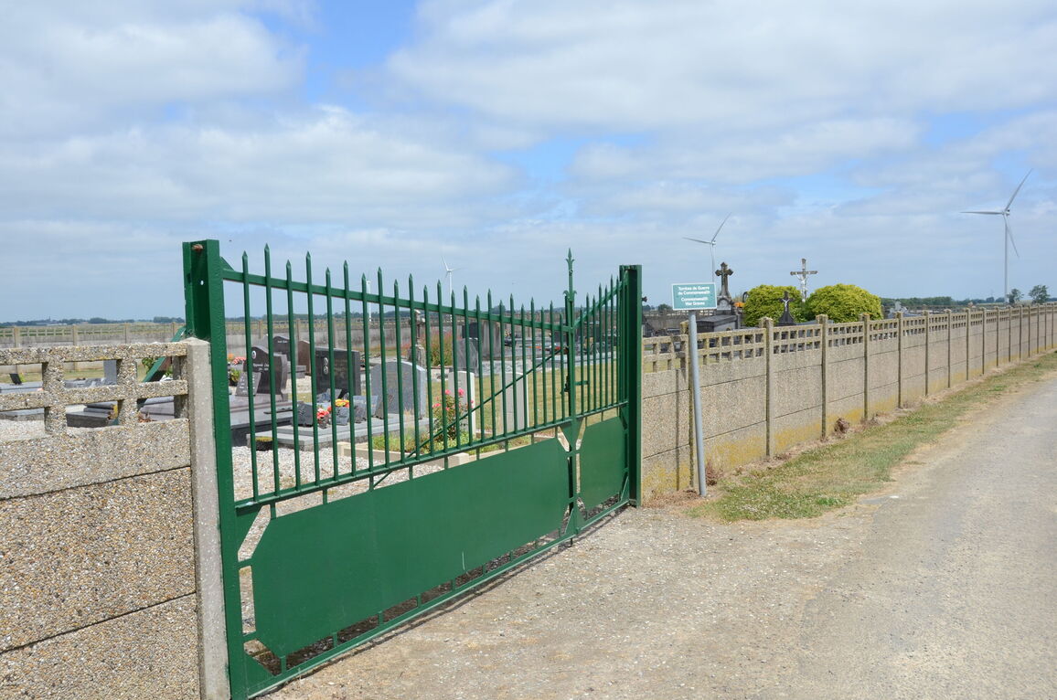
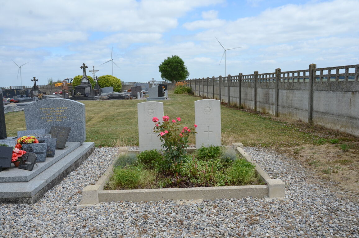
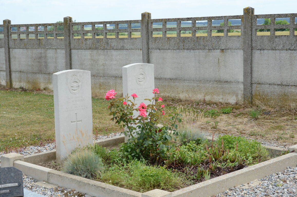
Morval is a village 30 kilometres almost due south of Arras, and about 3 kilometres west of Sailly-Saillisel and the N.37 road from Arras to Bapaume and Peronne. The communal cemetery is some 200 yards east of the church. The joint grave of two British airmen is just north of the entrance, on the eastern side of the main path.


