La Haye-De-Routot Churchyard
- Country France
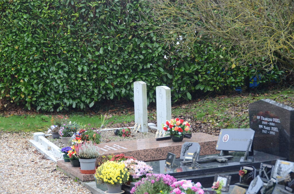
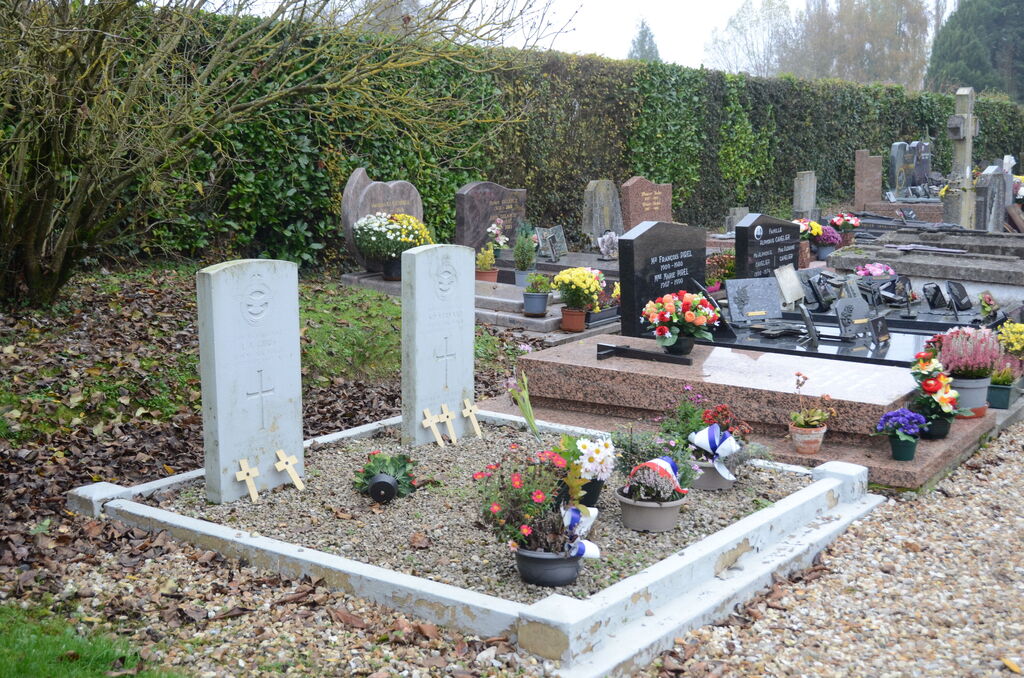
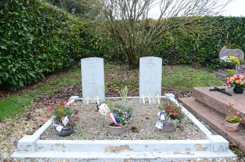
- Total identified casualties 2 Find these casualties
- Region Eure
- Identified casualties from Second World War
- GPS Coordinates Latitude: 49.40461, Longitude: 0.72595
Location information
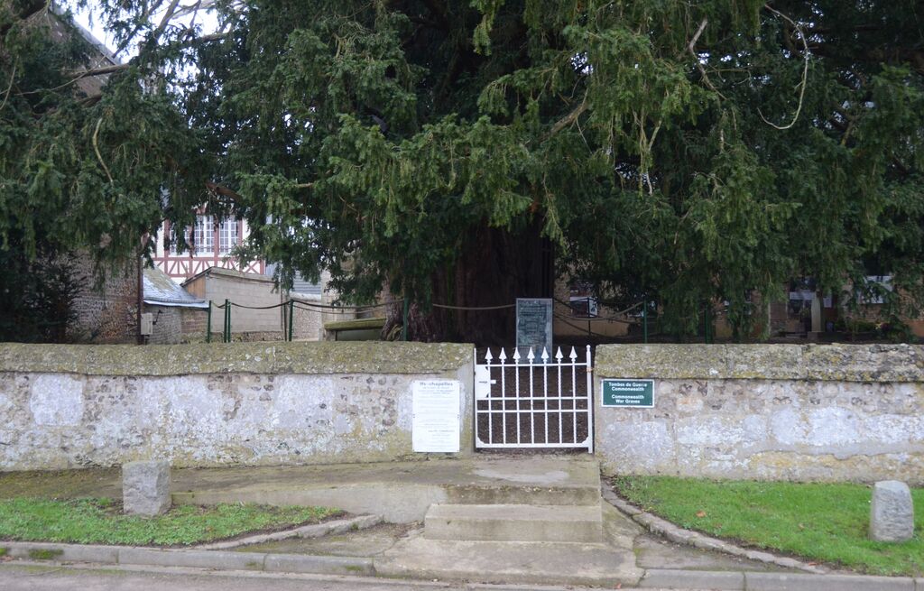
La Haye-de-Routot is a rather inaccessible village and commune lying between Evreux and Elbeuf. It is best reached by train from Rouen to Elbeuf, whence the remaining 15 miles (24 kilometres) are covered by taxi. The churchyard is in the centre of the village. In the south-western corner are graves of two airmen of the Royal Air Force.