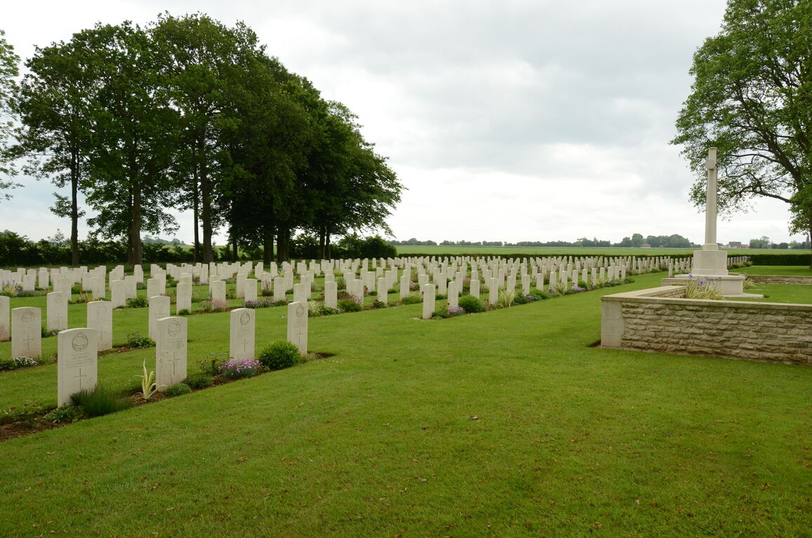
Fontenay-Le-Pesnel War Cemetery, Tessel
- Country France
- Total identified casualties 509 Find these casualties
- Region Calvados
- Identified casualties from Second World War
- GPS Coordinates Latitude: 49.16134, Longitude: -0.56089

SHARE THE STORIES OF D-DAY AND NORMANDY
If you'd like to know more about who we commemorate, visit For Evermore: Stories of the Fallen, the CWGC online commemorative resource. Here you can read and share the fascinating stories from some of the people who took part in D-Day and Normandy Campaign.
Location information
The village of Fontenay-le-Pesnel lies 16 kilometres west of Caen on the main road (the D9) towards Caumont l'Evente.
The cemetery is 1 kilometre south-east of the hamlet of St Martin (on the D139 to Grainville); on reaching a large memorial to the 49th (West Riding) Division, turn down the track opposite the memorial which leads directly to the cemetery.
Visiting information
ARRIVAL
The cemetery is not signposted. The cemetery is located near the end of a farm track east of the D139.
PARKING
It is possible to park in the passing space (layby) at the side of the road, approximately 30 metres from the main entrance. There is space for 2 to 3 vehicles.
ACCESS LAYOUT AND MAIN ENTRANCE
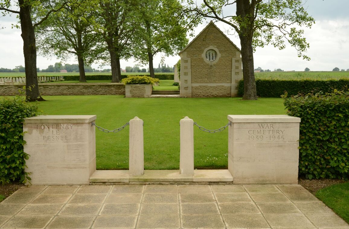
The cemetery is rectangular shaped.
The main entrance is on the right -hand side of the cemetery when viewed from the farm track.
A paved area approximately five metres deep is located between the farm track and the entrance gate.
There are two stone bollards in between two stone pillars at the boundary of the paving and internal grass. Metal chains are attached from each pillar to the adjacent bollard. There is a clear opening of 600 mm between the two bollards. The bollards are installed on a raised stone step approximately 75 mm tall.
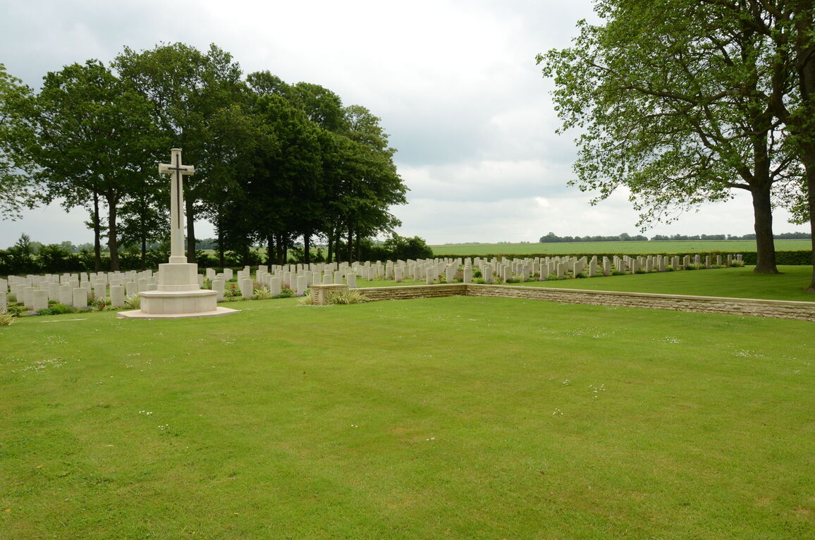
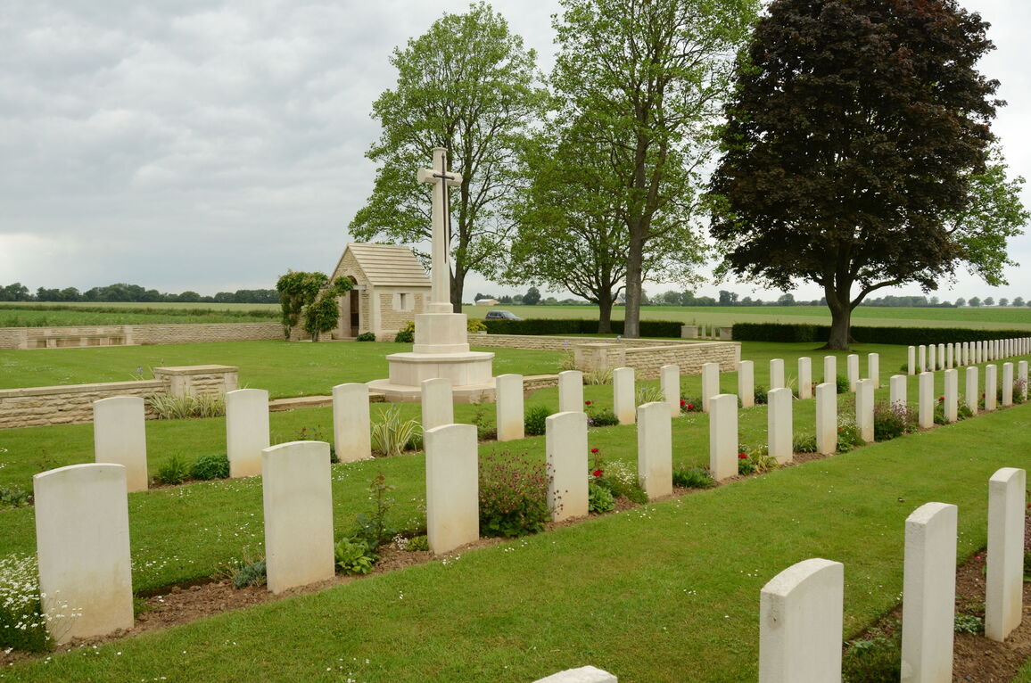
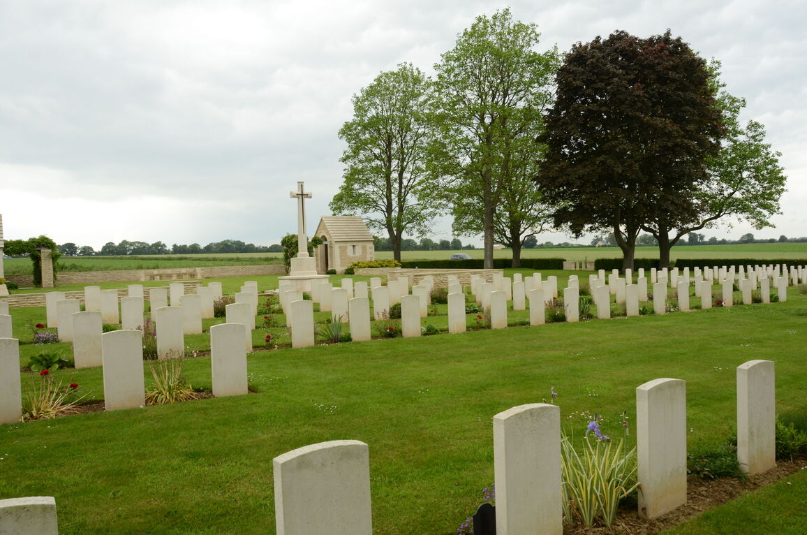
The Cross of Sacrifice is towards the centre of the cemetery on a large square grass platform area. There are two stone steps going up to the Cross of Sacrifice on the elevated platform.
Behind the Cross of Sacrifice on the raised grass platform are 2 shelter buildings. These are both close to the right-hand side of the cemetery, in line with the main entrance.
At the eastern end of the cemetery, in line with the Cross of Sacrifice is a stone bench seating area, located under trees. Additionally, there are stone benches inside and outside both shelter buildings on the raised platform area.
The Register Box is in the shelter closest to the main entrance.
Internal paths are grass, the ground is flat and firm.
ALTERNATIVE ACCESS
On the left of the main entrance, is a gap in the hedge, where there is free access without a gate or any other obstructions. The space is approximately 900 mm wide.
At the far end of the hedge boundary along the farm track is a service entrance, approximately sixty metres from the main entrance. This is 1.50 metres wide with a latched double-leaf grey metal gate that opens into the cemetery.
The ground is flat and firm and opens onto grass.
ADDITIONAL INFORMATION
The cemetery is permanently open.
History information
The Allied offensive in north-western Europe began with the Normandy landings of 6 June 1944.
Fontenay-le-Pesnel War Cemetery contains the graves of men who died in the fighting to the west and south-west of Caen in June-July 1944. There are particularly large numbers of graves of the South Staffordshire, East Lancashire, Royal Warwickshire Regiments, and the Durham Light Infantry.
The cemetery contains 460 Commonwealth burials of the Second World War. There are also 59 German graves.


