Castillon-En-Auge Churchyard
- Country France
- Total identified casualties 1 Find these casualties
- Region Calvados
- Identified casualties from Second World War
- GPS Coordinates Latitude: 49.03131, Longitude: 0.09007
Location information
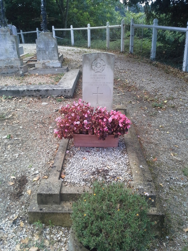
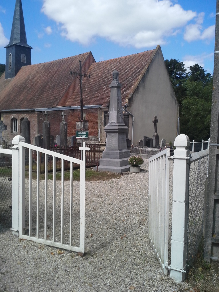
Castillon-en-Auge is a village and commune 23 miles (38 kilometres) south-east of Caen, 11 miles (18 kilometres) south-west of Lisieux, and 6 miles (10 kilometres) east of St. Pierre-sur-Dives. This is a small town 12 kilometres south of the N.13 Caen to Lisieux road. Castillon-en-Auge is only 2 miles (3 kilometres) north of St. Marguerite-de-Viette. There is 1 Commonwealth burial of the 1939-1945 war here, 12 yards north-west of the west door of the church.


