Honfleur (St. Leonard) Communal Cemetery
- Country France
- Total identified casualties 7 Find these casualties
- Region Calvados
- Identified casualties from Second World War
- GPS Coordinates Latitude: 49.41546, Longitude: 0.24255
Location information
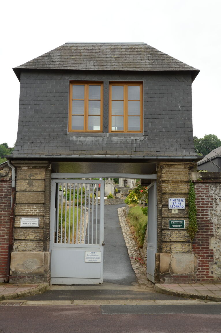
Honfleur is a town and port on the south side of the estuary of the river Seine, 58 kilometres north-east of Caen. The Cemetery is south-east of the town centre, in the St Leonards district. The main entrance to the Cemetery is in the Rue Emilie Renouf, a continuation of the Rue Saint Leonard, which heads east from St Leonards Church.
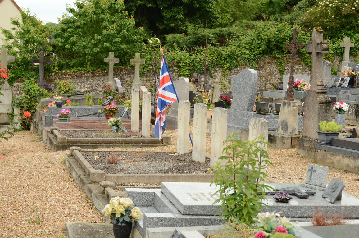
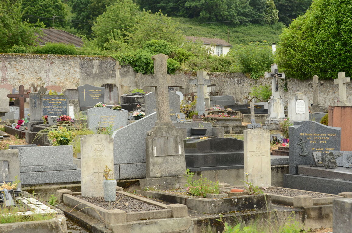
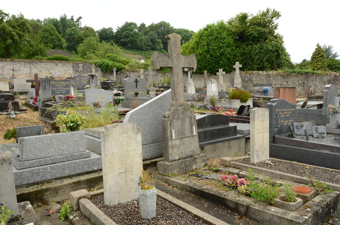
There are 7 Commonwealth war burials of the 1939-1945 war here, plus 1 non-world war burial, in two plots, 20 metres from the rear (south-west) wall of the Cemetery.


