Noyers-Bocage Old Churchyard
- Country France
- Total identified casualties 2 Find these casualties
- Region Calvados
- Identified casualties from Second World War
- GPS Coordinates Latitude: 49.12455, Longitude: -0.56715
Location information
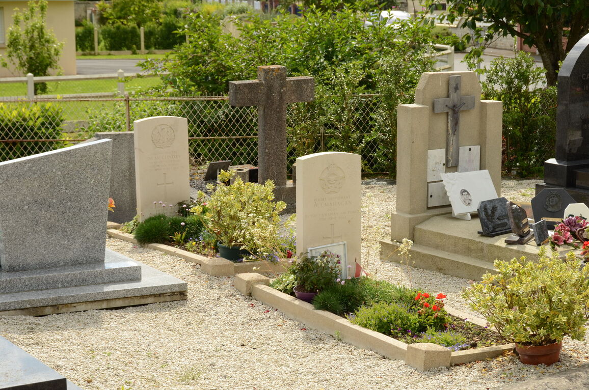
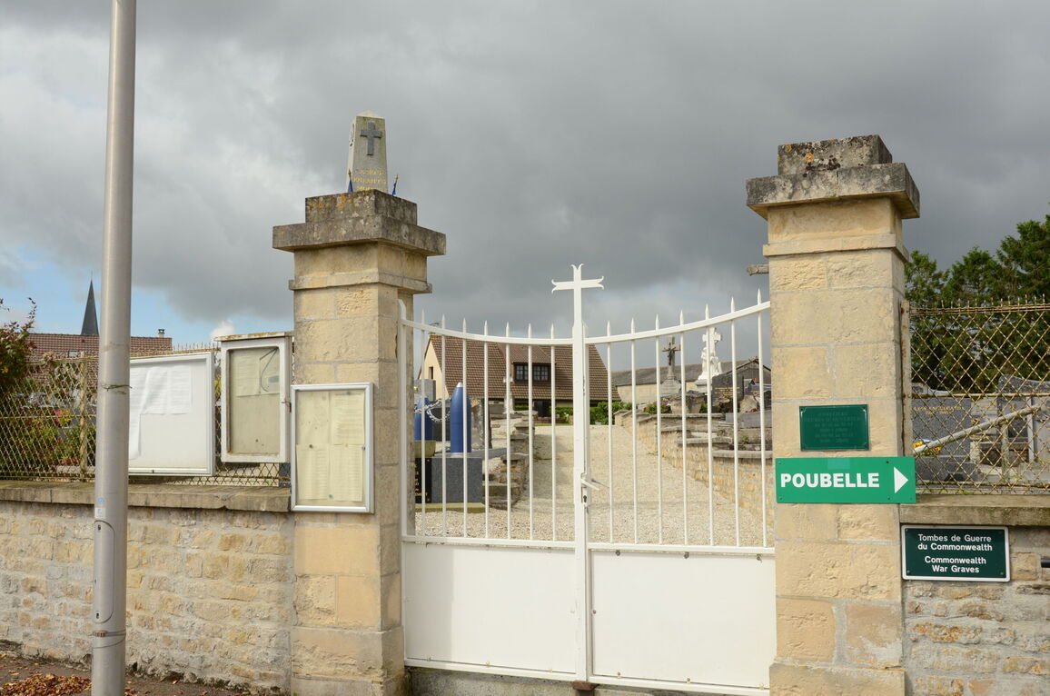
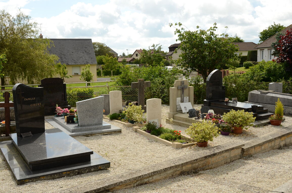
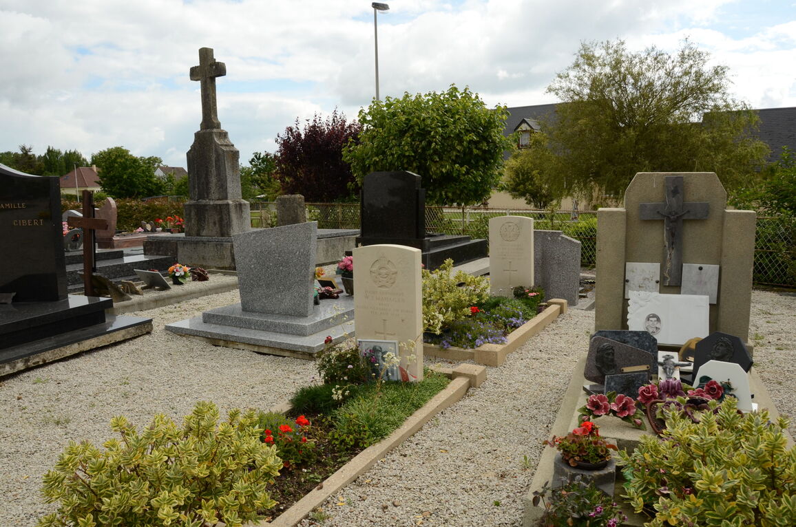
Noyers-Bocage is a village and commune 20 kilometres south-east of Bayeux and 17 kilometres south-west of Caen, on the road between Caen and Vire. The old churchyard (the church was completely destroyed during the war) is on the north side of the village.
There are 2 Commonwealth burials of the 1939-1945 war here.


