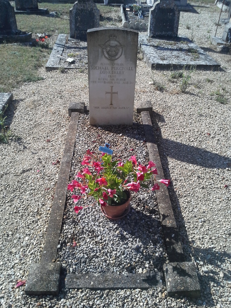
Percy-En-Auge Churchyard
- Country France
- Total identified casualties 1 Find these casualties
- Region Calvados
- Identified casualties from Second World War
- GPS Coordinates Latitude: 49.05678, Longitude: -0.06323
Location information
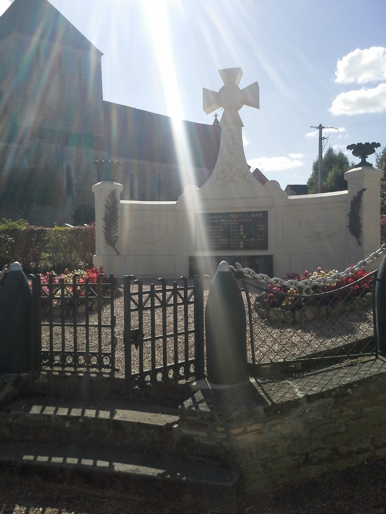
Percy is a village and commune 16 miles (27 kilometres) south-east of Caen, 13 miles (21 kilometres) south-west of Lisieux, and 2 miles (3 kilometres) south of Mezidon. This is a small town about 3 miles (5 kilometres) south of the N.13 Caen to Lisieux road. There is 1 Commonwealth burial of the 1939-1945 war here, in the north-east corner of the churchyard, behind the war memorial which stands outside the churchyard.