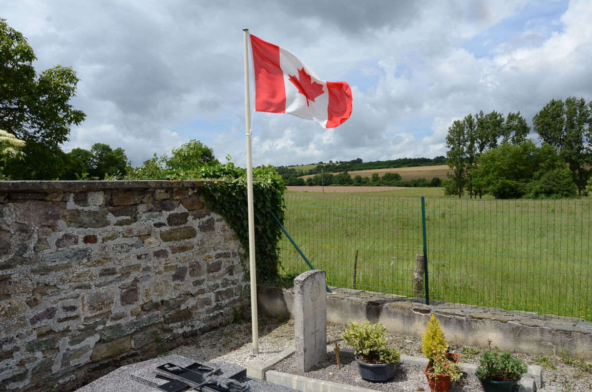
St. Lambert Churchyard
- Country France
- Total identified casualties 1 Find these casualties
- Region Calvados
- Identified casualties from Second World War
- GPS Coordinates Latitude: 48.93735, Longitude: -0.54893
Location information
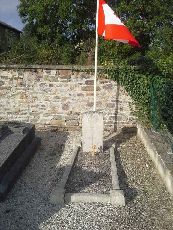
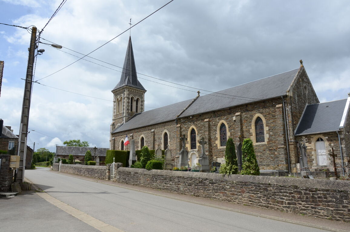
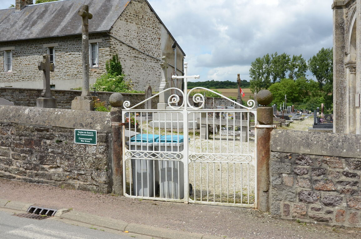
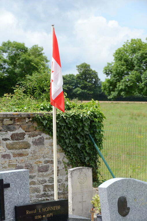
St. Lambert is a village and commune 23 miles (37 kilometres) south-west of Caen, 25 miles (40 kilometres) south-south-east of Bayeux, and 6 miles (9 kilometres) south-west of Thury-Harcourt. This is a small town on the D.562 Caen to Flers road, 16 miles (26 kilometres) south-south-west of Caen. There is 1 Commonwealth burial of the 1939-1945 war here, in the north-west corner of the churchyard.