St. Remy Churchyard
- Country France
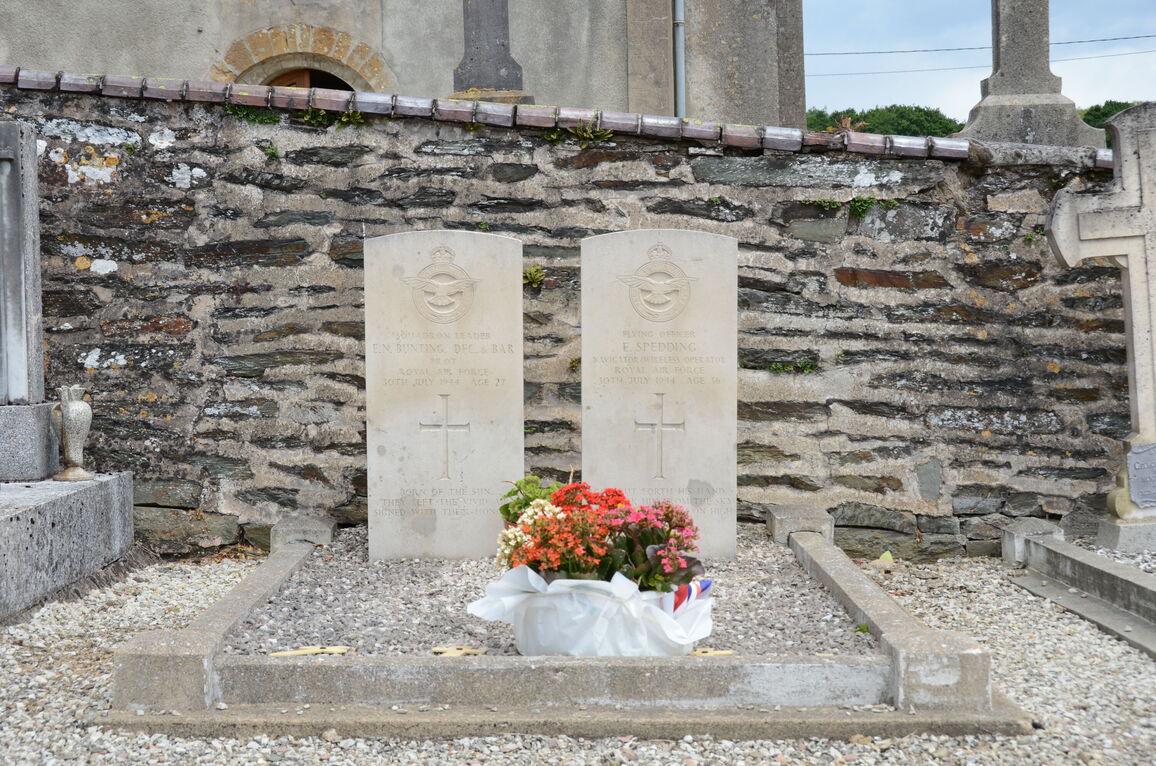
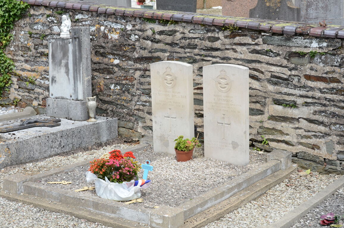
- Total identified casualties 2 Find these casualties
- Region Calvados
- Identified casualties from Second World War
- GPS Coordinates Latitude: 48.93108, Longitude: -0.50341
Location information
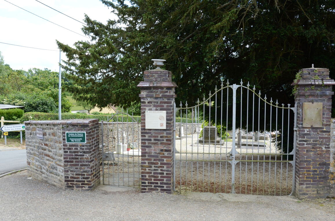
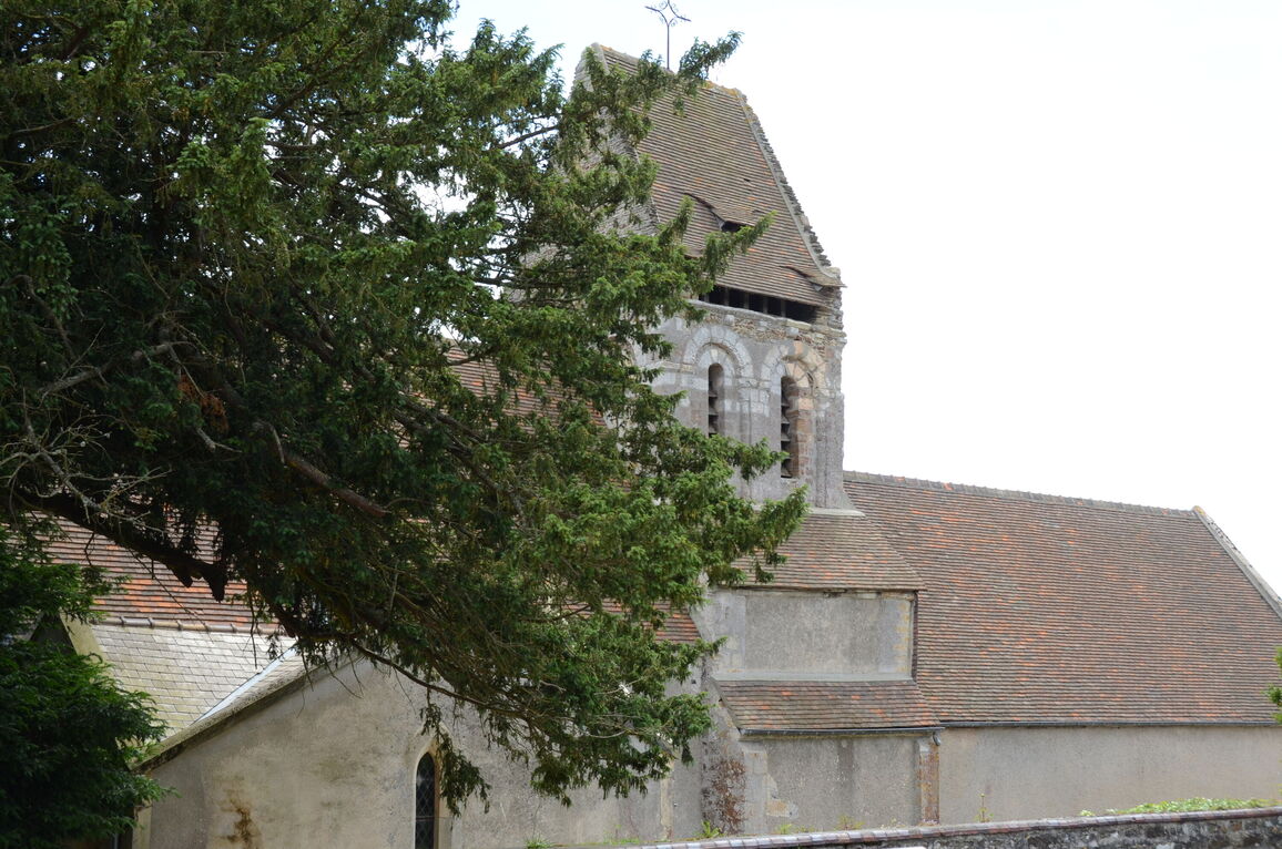
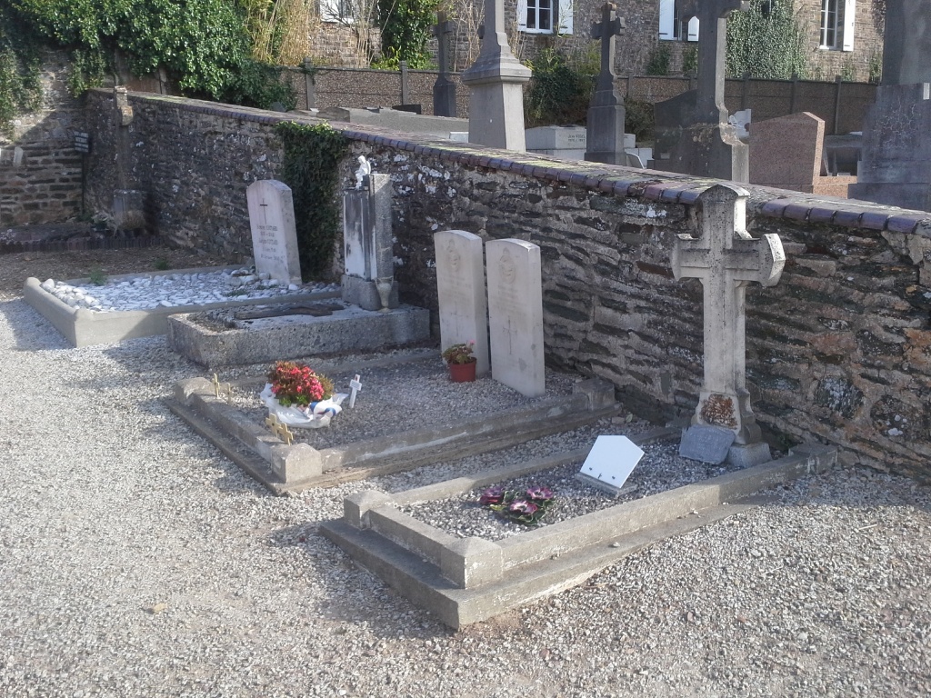
St. Remy is a village 33 kilometres south-west of Caen on the N162 Caen-Flers road. The Church is over the top of the hill on the east side of the village, on the D133 St. Remy Clecy road, and is about 75 metres from the N162 road.
There are 2 Commonwealth burials of the 1939-1945 war here, located a few yards east of the monument in the west portion of the churchyard.
History information
There are 2 Commonwealth burials of the 1939-1945 war here, a few yards east of the monument in the west portion of the churchyard.