Monchy-Sur-Eu Communal Cemetery
- Country France
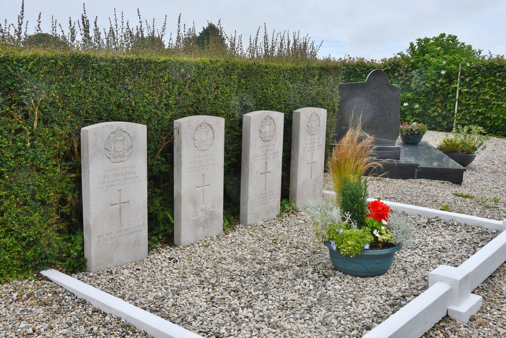
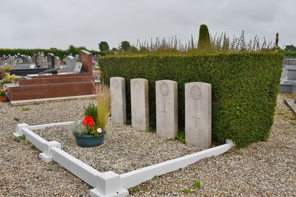
- Total identified casualties 4 Find these casualties
- Region Seine-Maritime
- Identified casualties from Second World War
- GPS Coordinates Latitude: 49.99879, Longitude: 1.45818
Location information
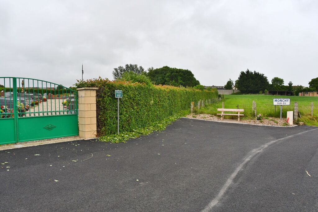
Monchy-sur-Eu is a village and commune 17 miles (28 kilometres) east of Dieppe, and 2 miles (3 kilometres) south of Eu on the east side of the Eu-Londinieres road (N.314). The nearest railway station is at Incheville, 3 miles away, on the Eu-Paris line. The cemetery is 600 yards north-east of the church and is on the right of a road leading from the church to the Foret D'Eu and Incheville. The graves of 4 British soldiers lie 10 yards east of the entrance to the cemetery.