Sigy-En-Bray Communal Cemetery
- Country France
- Total identified casualties 5 Find these casualties
- Region Seine-Maritime
- Identified casualties from Second World War
- GPS Coordinates Latitude: 49.55012, Longitude: 1.49426
Location information
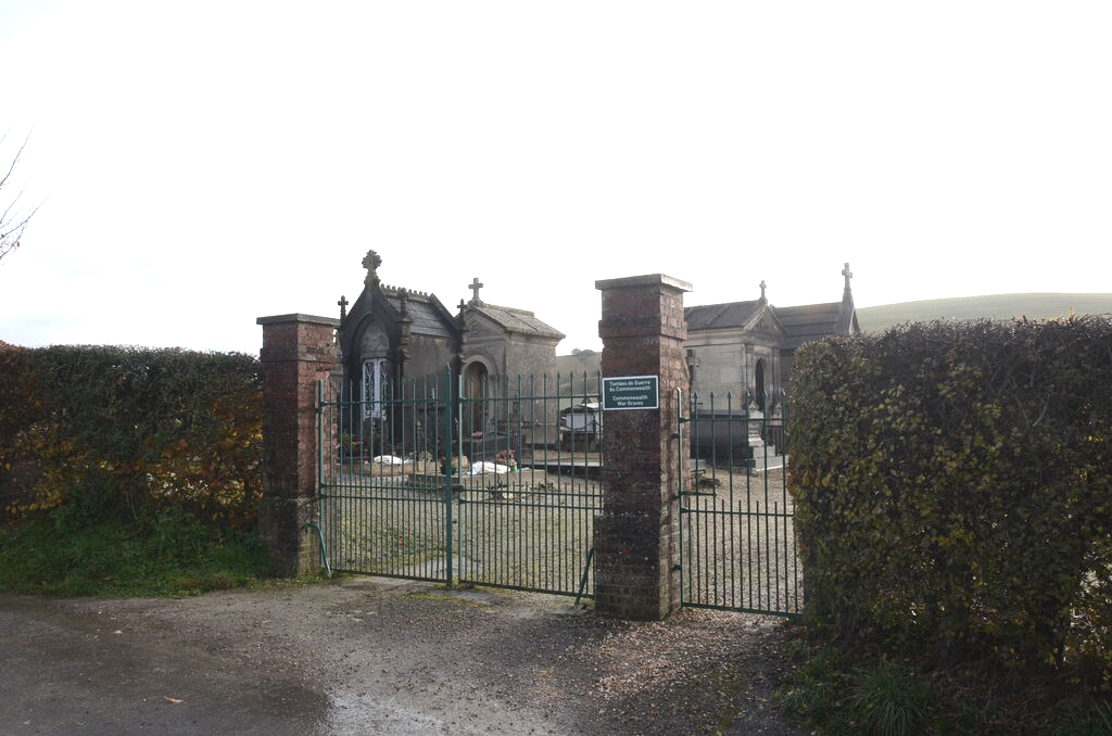
Sigy-en-Bray is a village and commune 31 kilometres east-north-east of Rouen; 10 kilometres north of La Feuillie, a village 33 kilometres east of Rouen on the N.30 road from Rouen to Gournay-en-Bray; and 2 kilometres west of Argueil, which is a village on the N.321 road from La Feuillie to Forges-les-Eaux. The cemetery is north-east of the village, on the south-east side of the road to La Ferte, and is some 400 metres from Sigy-en-Bray church.
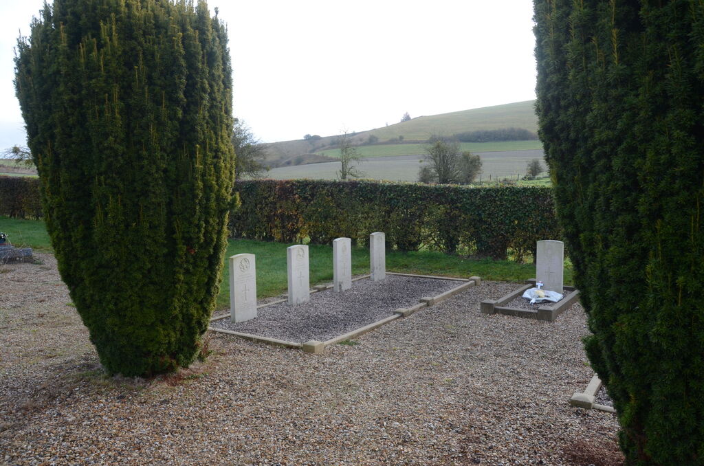
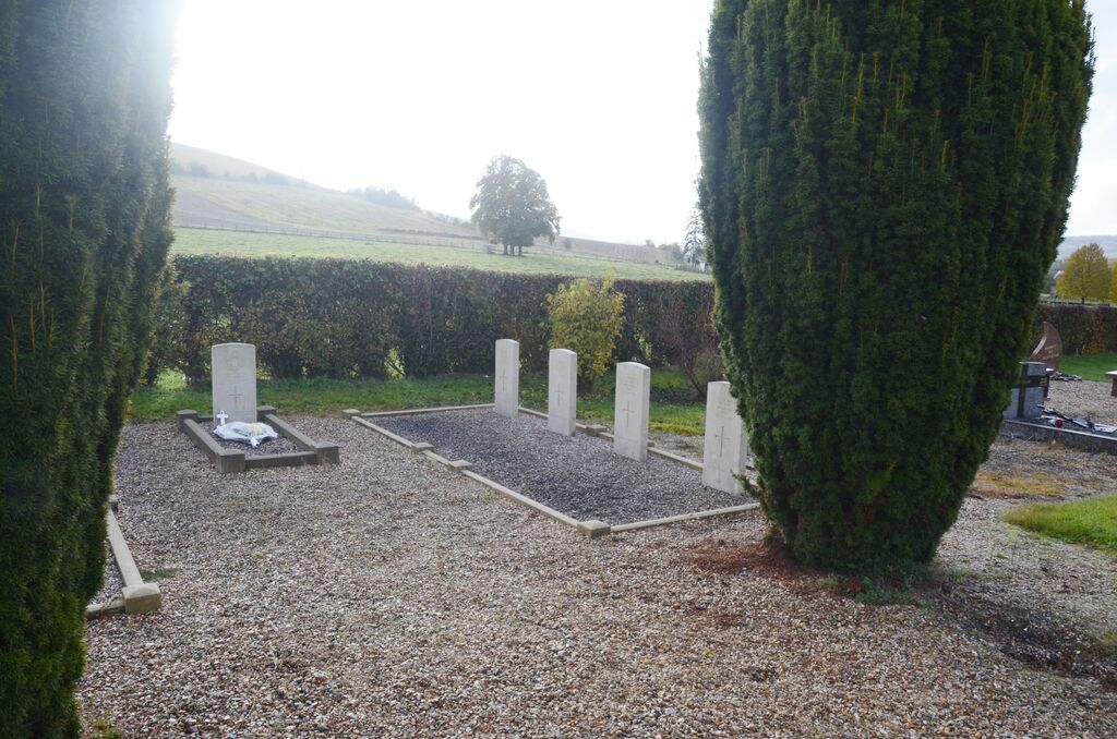
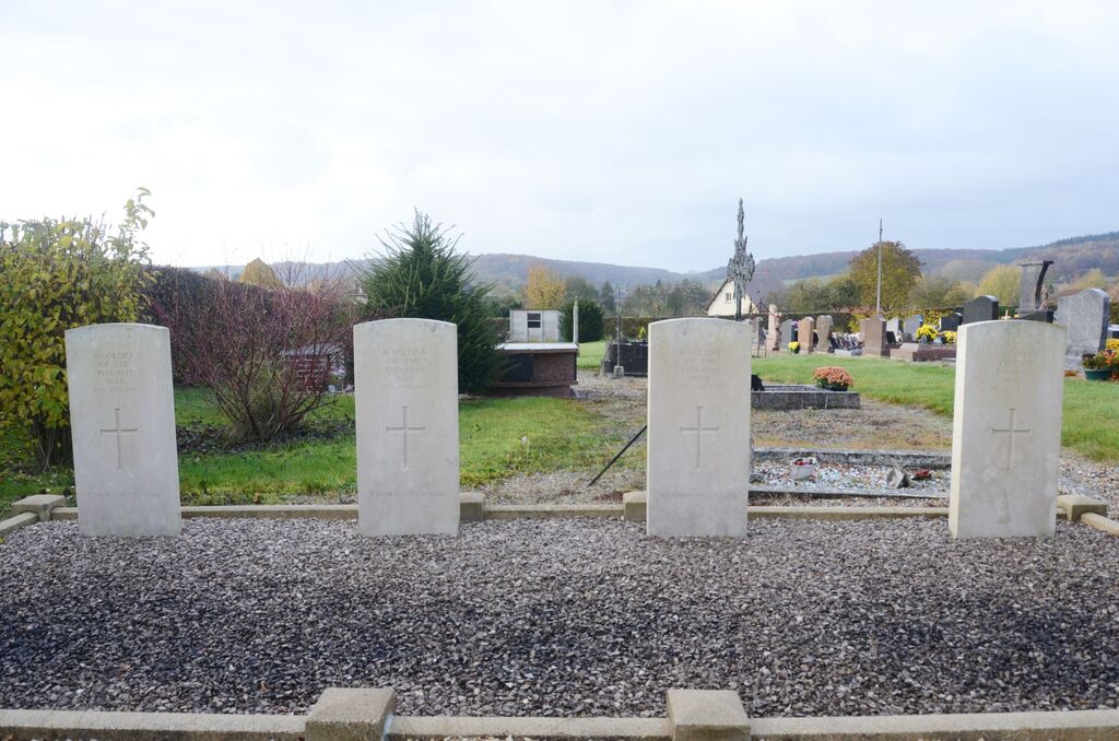
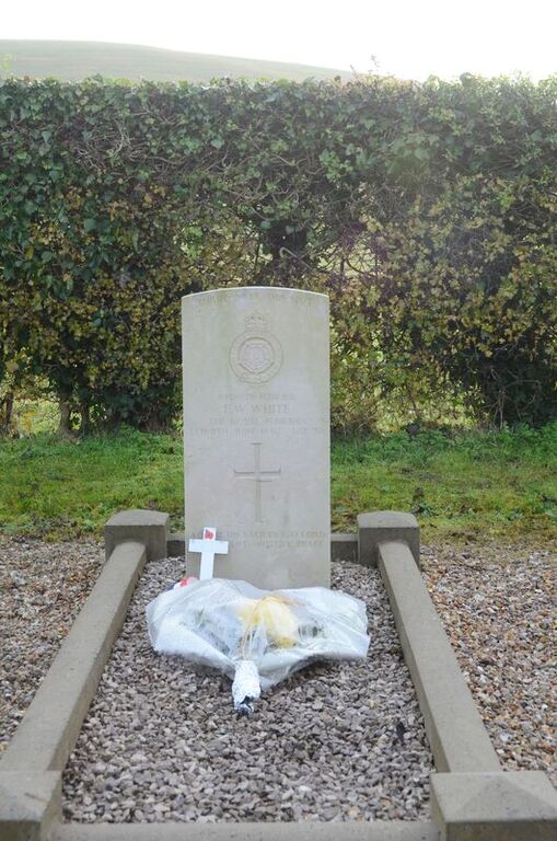
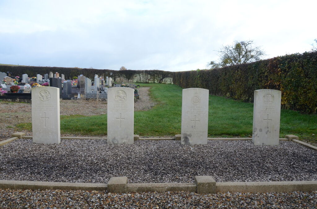
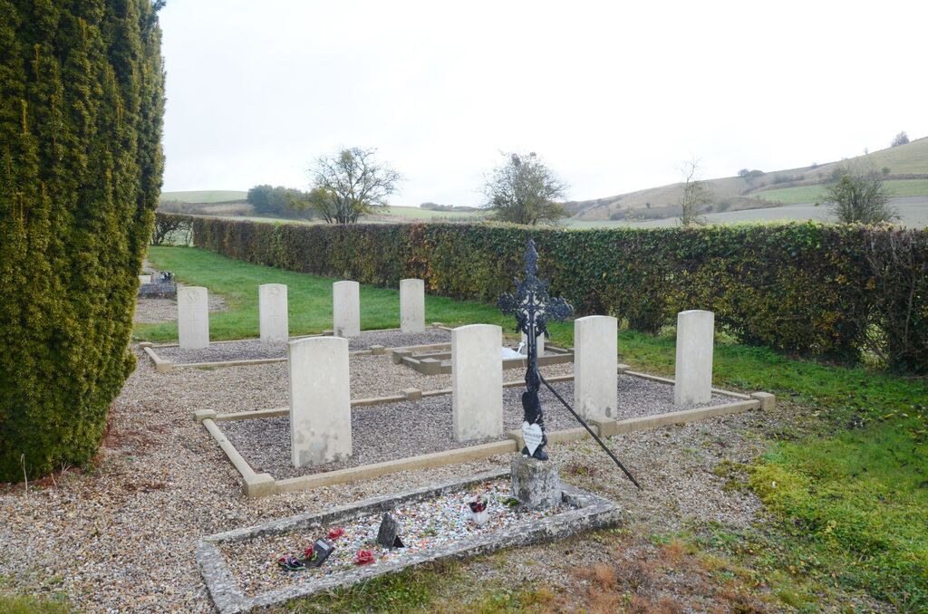
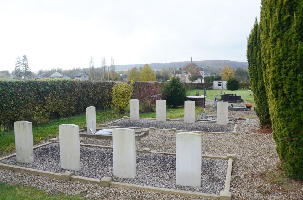
Near the centre of the south-east boundary hedge are the graves of soldiers of the British army.
Visiting information
The main gate is closed with a padlock but access to the war graves is via a small gate which is closed but never locked.


