Totes Communal Cemetery
- Country France
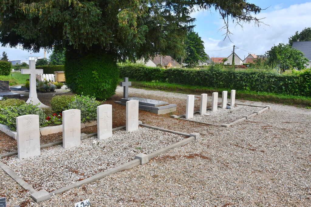
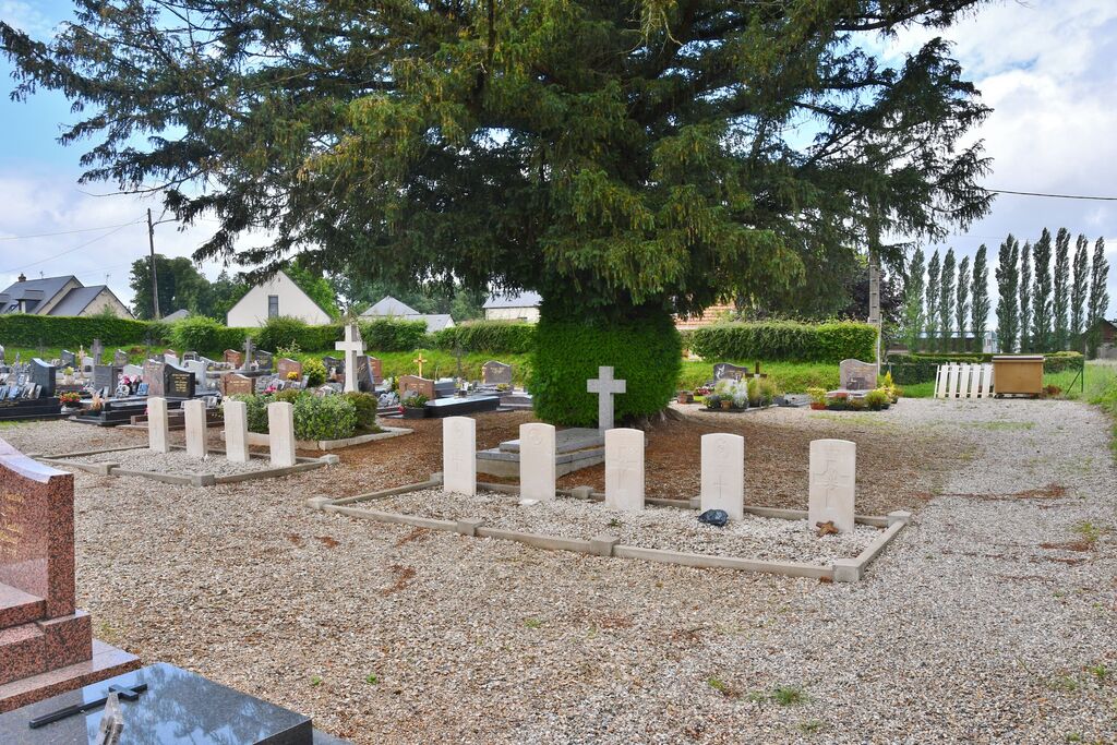
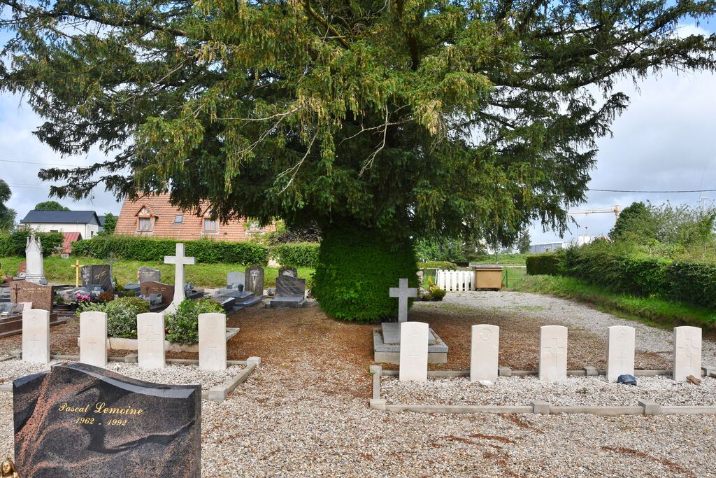
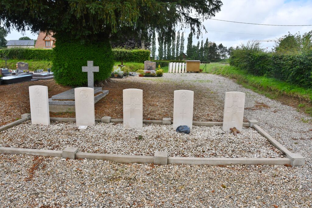
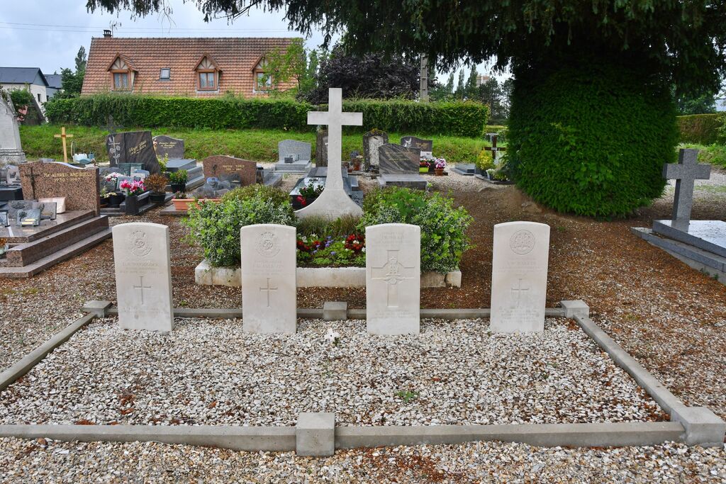
- Total identified casualties 9 Find these casualties
- Region Seine-Maritime
- Identified casualties from Second World War
- GPS Coordinates Latitude: 49.6795, Longitude: 1.0395
Location information
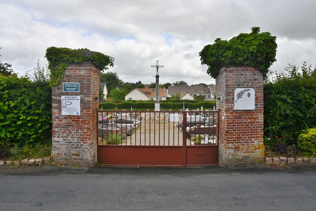
Totes is a small town about 29 kilometres north of Rouen at the crossing of the main Rouen-Dieppe road (N27) and the main Le Havre-Amiens road (N29).
The communal cemetery is about 250 metres west of the crossroads, on the right of the N29 road. The military plot is in the north-east corner of the cemetery, and contains the graves of 9 soldiers of the British army.