Mesmont Churchyard
- Country France
- Total identified casualties 7 Find these casualties
- Region Ardennes
- Identified casualties from Second World War
- GPS Coordinates Latitude: 49.61549, Longitude: 4.4002
Location information
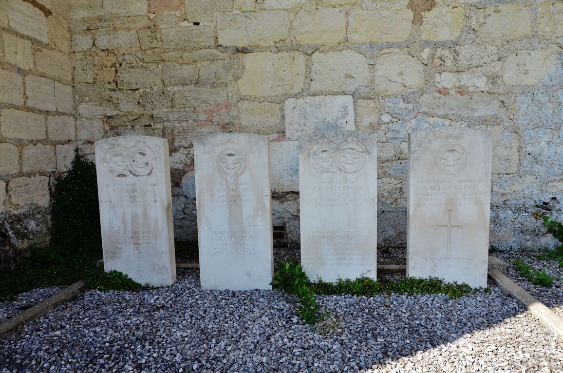
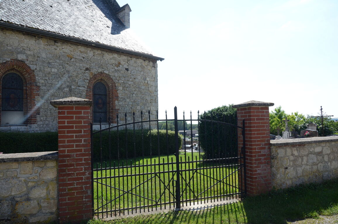
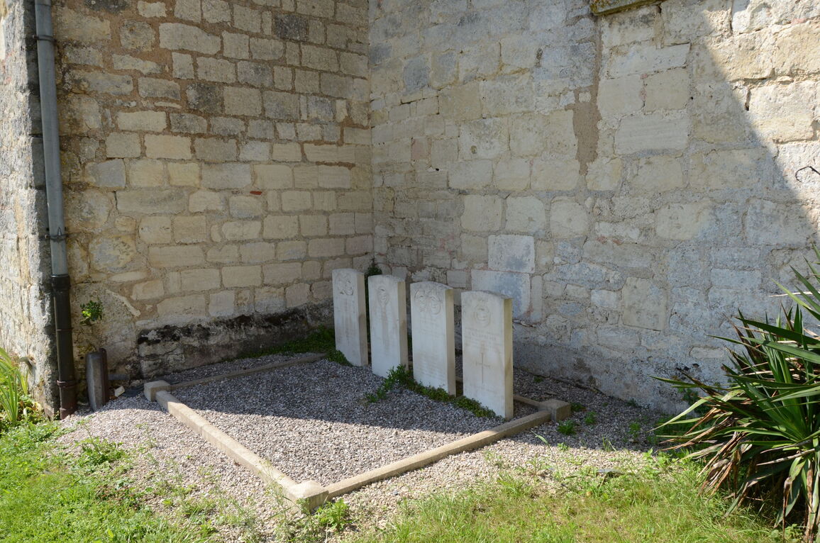
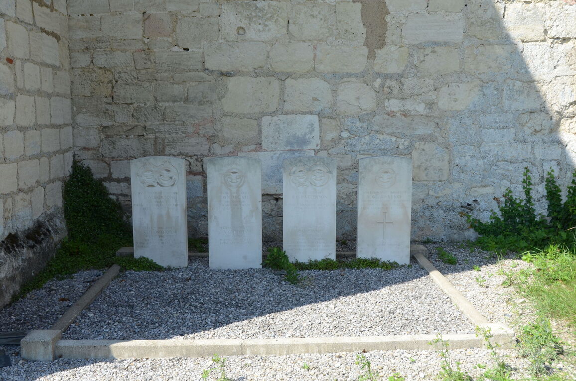
Mesmont is a village and commune just over 18 miles (29 kilometres) south-west of Mezieres and about 8 miles (13 kilometres) north of Rethel. It lies 1.25 miles north-west of the main road (N.385) from Rethel to Signy L'Abbaye. The nearest railway station is Rethel on the Paris-Luxembourg line, where taxis are available to supplement the poor bus service between Rethel and Mesmont. In the churchyard, near the south-eastern corner, are the graves of seven airmen. Five of them belonged to the Royal Air Force and two to the Royal Canadian Air Force.