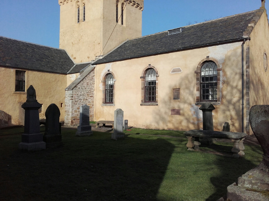
Anstruther Wester Churchyard
- Country United Kingdom
- Total identified casualties 0 Find these casualties
- Region Fifeshire
- Identified casualties from First World War
- GPS Coordinates Latitude: 56.22233, Longitude: -2.70423
Location information
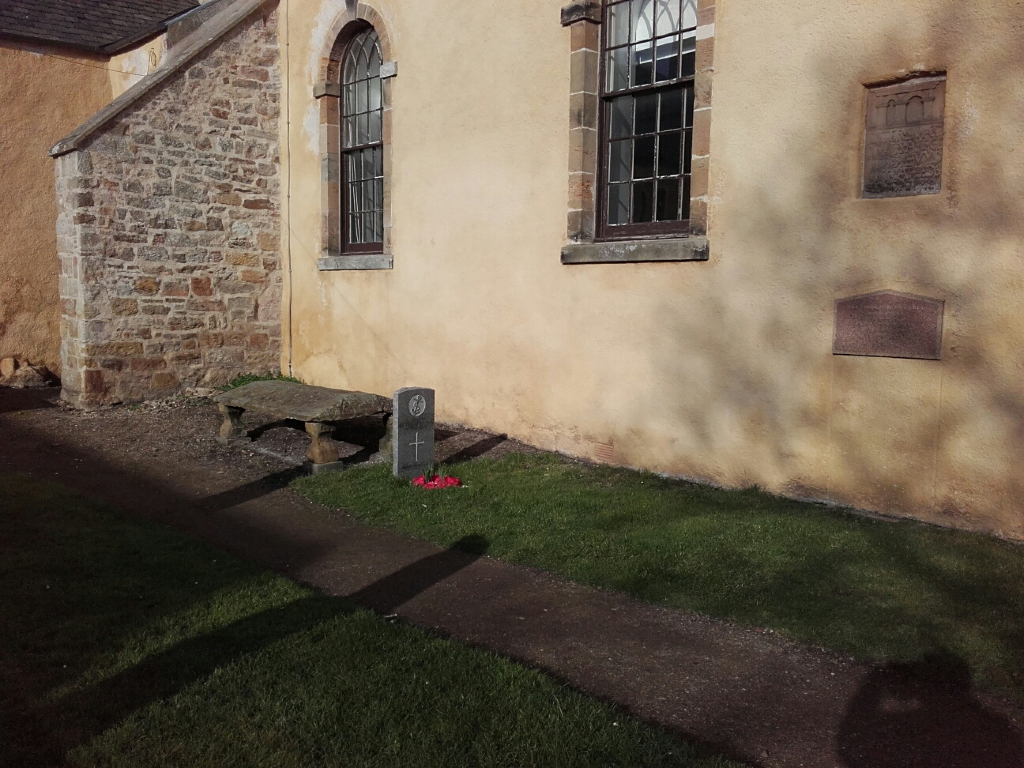
The churchyard, on the road from Anstruther railway station to Pittenweem, now belongs to the Anstruther Town Council. Close to the South wall of the Church is the grave of an unidentified rating of the Royal Navy , died during the 1914-1918 war.


