Turnhout Communal Cemetery
- Country Belgium
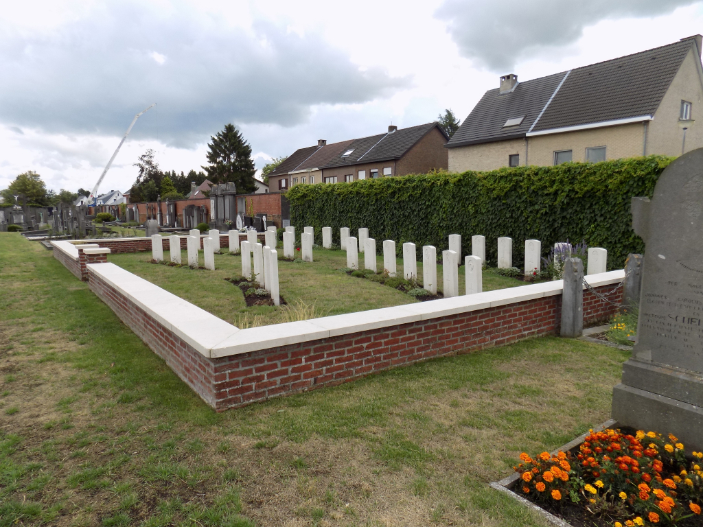
- Total identified casualties 36 Find these casualties
- Region Antwerpen
- Identified casualties from First & Second World War
- GPS Coordinates Latitude: 51.31811, Longitude: 4.95721
Location information
Turnhout Communal Cemetery is located 48 Km north east of Antwerp and 42 km west of Eindhoven.
From Antwerp the N12 leads directly to Turnhout itself via Westmalle.
From the Grote Markt in the centre of Turnhout follow the one way system around Sint-Pieterskerk and turn right into the Herentalsstraat which becomes Gratakker further along. Follow this road for 1200 m to the traffic lights at the Turnhout ring road. Turn left at this junction onto Parklaan and go 800 m to the first set of traffic lights. Here turn left into Kwakkelstraat. The Communal Cemetery lies 350 m along this road on the right. The Commission plot is 50 m into the cemetery on the right hand boundary wall.
Visiting information
Wheelchair access is possible via main entrance. For further information regarding wheelchair access, please contact our Enquiries Section at enquiries@cwgc.org or on 01628 507200.
The cemetery opening hours are as follows:-
Between 1 April and 31 October 8:00-19:00
Between 2 November and 31 March 8:00-17:30
On 1 November from 8:00 – 18:00.
History information
The British Expeditionary Force was involved in the later stages of the defence of Belgium following the German invasion in May 1940, and suffered many casualties in covering the withdrawal to Dunkirk. Commonwealth forces did not return until September 1944, but in the intervening years, many airmen were shot down or crashed in raids on strategic objectives in Belgium, or while returning from missions over Germany.
Turnhout Communal Cemetery contains a small plot of 34 Commonwealth burials of the Second World War. To the west of these, by the south wall, are two First World War graves.