Plouhinec Communal Cemetery
- Country France
- Total identified casualties 1 Find these casualties
- Region Finistere
- Identified casualties from Second World War
- GPS Coordinates Latitude: 48.0127, Longitude: -4.48546
Location information
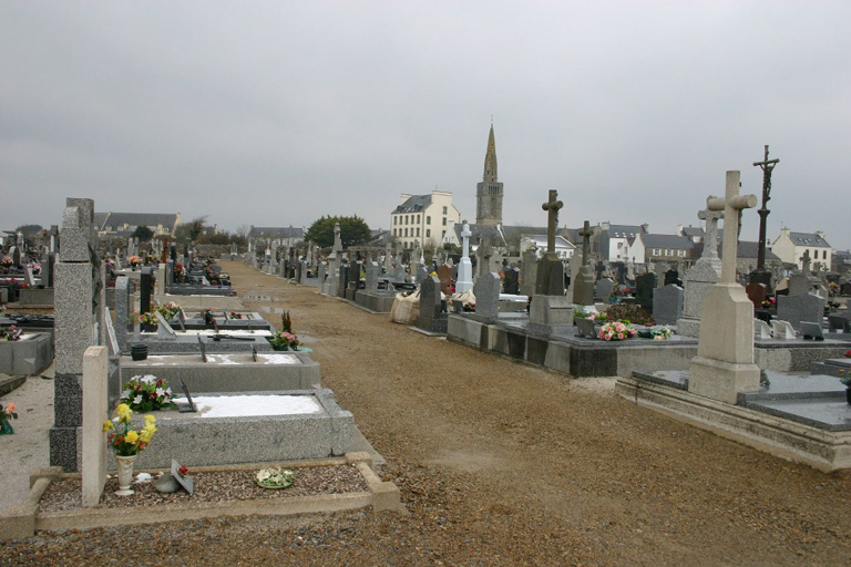
Plouhinec is a village and commune about 15 kilometres south-west of Douarnenez, on the main road from Quimper to Pointe du Raz. It is best reached by taxi from Douarnenez There is a branch railway line to this town from Quimper on to which through carriages are switched. The cemetery at Plouhinec is on the southern side of the village, and west of the road to Lez Treoudin. The one British war grave is in the south-western part of the cemetery.