St. Eloy Churchyard
- Country France
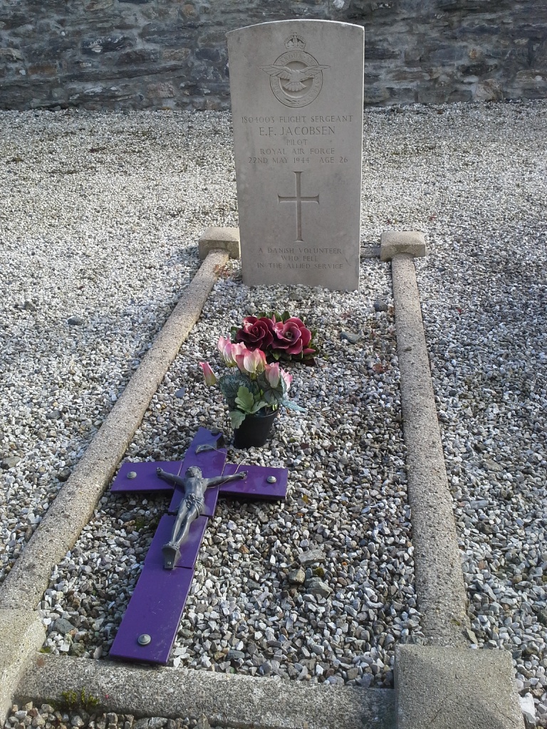
- Total identified casualties 1 Find these casualties
- Region Finistere
- Identified casualties from Second World War
- GPS Coordinates Latitude: 48.36112, Longitude: -4.12276
Location information
St. Eloy is a village and commune 26 kilometres east of Brest, on a by-road turning off the Sizun-Le Faou road. It is best reached by taxi from Brest. The churchyard is at the southern end of the village, east of the road leading to St. Eloy from the Sizun Le Faou road. The one British war grave is east of the church, close to the boundary wall.