Guiscriff Communal Cemetery
- Country France
- Total identified casualties 1 Find these casualties
- Region Morbihan
- Identified casualties from Second World War
- GPS Coordinates Latitude: 48.04713, Longitude: -3.64972
Location information
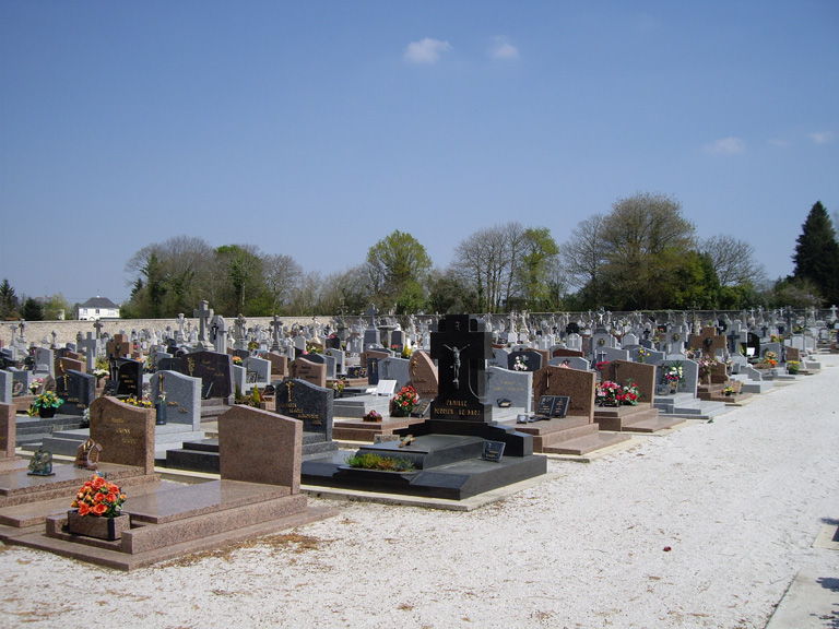
Guiscriff is a village and commune some 17 kilometres north-east of Rosporden, a town on the Paris-Le Mans-Quimper railway line. The cemetery is about 300 metres west of the village church on the southern side of the road to Scaer.
History information
The one British casualty is buried with two Frenchmen in a grave marked by a marble memorial erected by the local people. This grave is 10 metres north-east of the entrance.