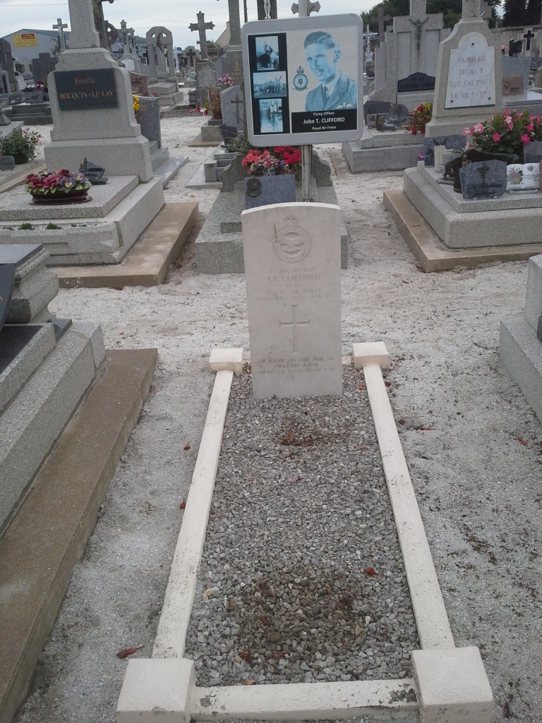
Reguiny Communal Cemetery
- Country France
- Total identified casualties 1 Find these casualties
- Region Morbihan
- Identified casualties from Second World War
- GPS Coordinates Latitude: 47.97941, Longitude: -2.74769
Location information
Reguiny is a rather inaccessible village and commune about 35 kilometres north of Vannes, on a local road branching off the main Hennebont-Rennes road. The most convenient means of reaching Reguiny is by taxi from Vannes. The cemetery is on the northern side of the village, about 150 metres from the church, on the road to Pont Hamon. The burial is east of, and near, the entrance gate.