Baudre Churchyard
- Country France
- Total identified casualties 4 Find these casualties
- Region Manche
- Identified casualties from Second World War
- GPS Coordinates Latitude: 49.08974, Longitude: -1.07355
Location information
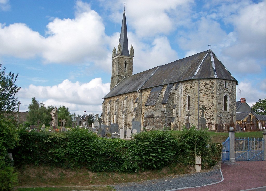
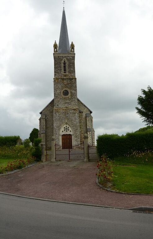
The village and commune of Baudre is 4 kilometres south-east of St. Lo.
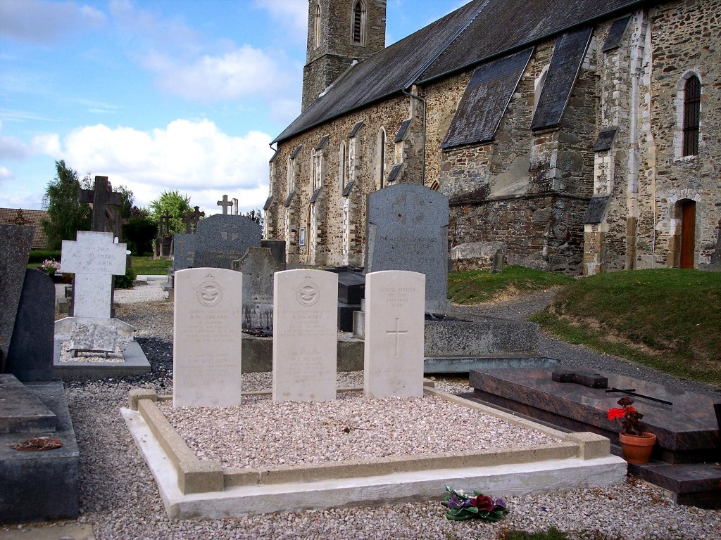
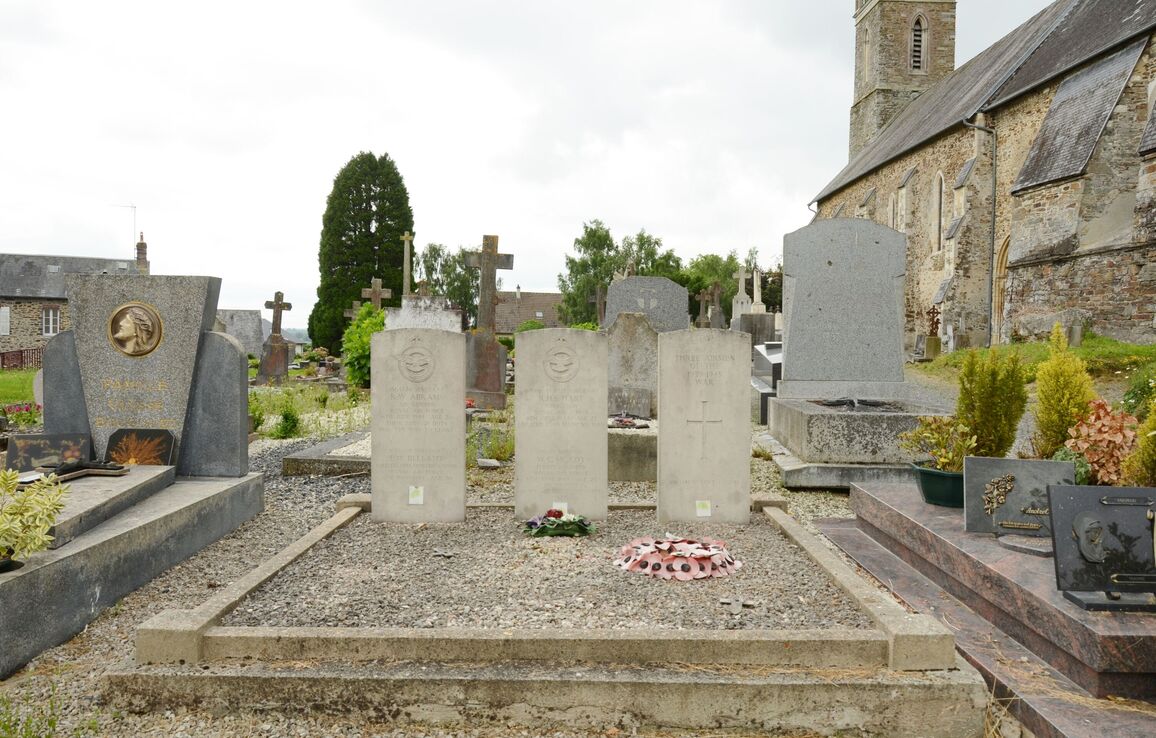
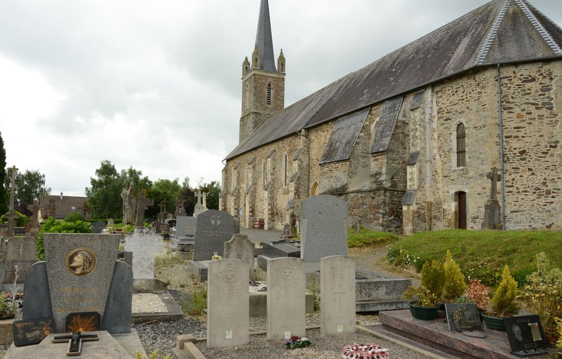
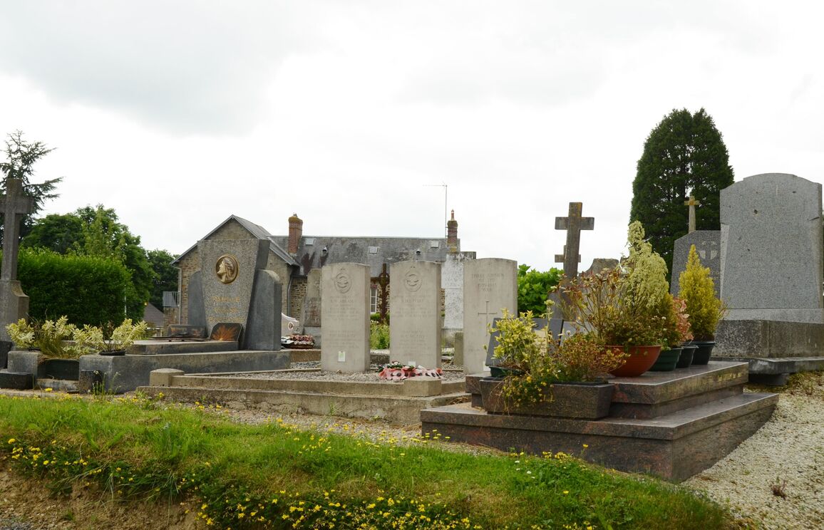
In the churchyard, 16 metres south of the south-eastern corner of the church, are the graves of seven airmen of the Royal Air Force. Three of them are not identified.
Visiting information
The churchyard is always open