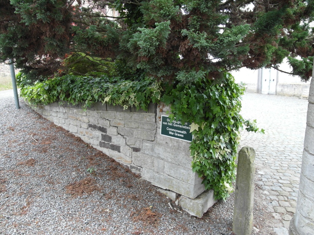
St. Agatha-Rode Churchyard
- Country Belgium
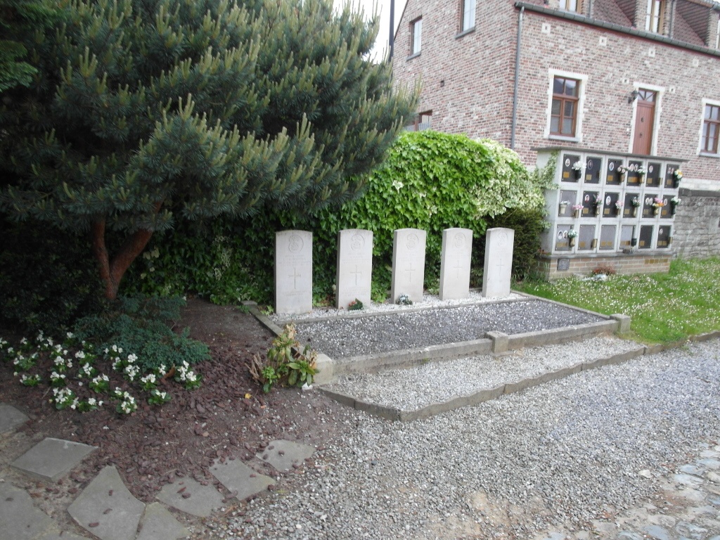
- Total identified casualties 5 Find these casualties
- Region Vlaams-Brabant
- Identified casualties from Second World War
- GPS Coordinates Latitude: 50.78702, Longitude: 4.63374
Location information
The village of St. Agatha-Rode is situated to the south of Leuven off the N25 which runs between Leuven and Namur. Follow the N25 to the village of Hamme-Mille and in the centre turn right towards Nethen. From Nethen follow the signs towards Pecrot and over the railway. After the railway there is a road junction where Sint-Agatha-Rode is signed. The church and cemetery are in the centre of the village. The graves are visible from the entrance.
History information
The British Expeditionary Force was involved in the later stages of the defence of Belgium following the German invasion in May 1940, and suffered many casualties in covering the withdrawal to Dunkirk.
St. Agatha-Rode Churchyard contains five Commonwealth burials of the Second World War.