Thorembais-St. Trond Communal Cemetery
- Country Belgium
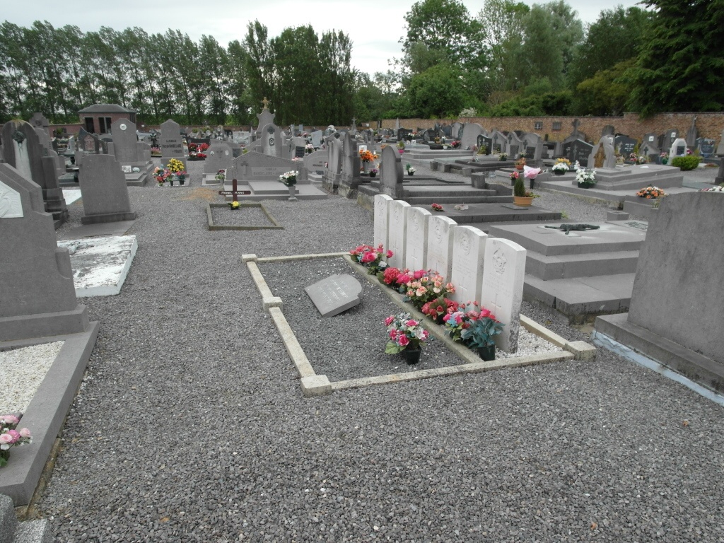
- Total identified casualties 6 Find these casualties
- Region Brabant Wallon
- Identified casualties from Second World War
- GPS Coordinates Latitude: 50.63721, Longitude: 4.7854
Location information
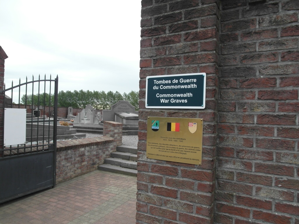
The village of Thorembais-Saint-Trond is located south-east of the town of Wavre off the E411 motorway which runs between Brussel and Namur. From the E411 motorway turn off at junction 11 Thorembais-Saint-Trond and onto the N29 direction Jodoigne. In the village of Thorembais there is a crossroads with the N243, turn right here towards Perwez and then take the first turn on the left called Rue De Culot and the cemetery is along here on the right. The graves are located through the main entrance and a short way in on the left.
History information
The British Expeditionary Force was involved in the later stages of the defence of Belgium following the German invasion in May 1940, and suffered many casualties in covering the withdrawal to Dunkirk. Commonwealth forces did not return until September 1944, but in the intervening years, many airmen were shot down or crashed in raids on strategic objectives in Belgium, or while returning from missions over Germany.
Thorembais-St. Trond Communal Cemetery contains the graves of six Commonwealth airmen of the Second World War.