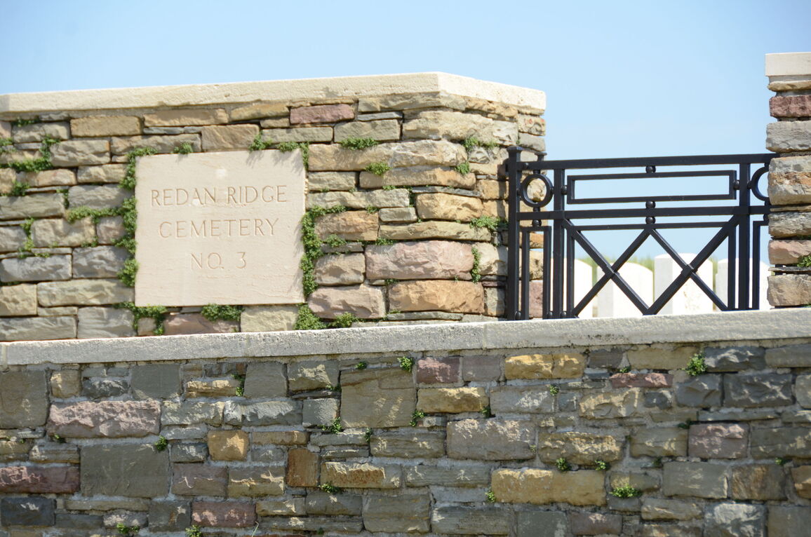
Redan Ridge Cemetery No.3, Beaumont-Hamel
- Country France
- Total identified casualties 33 Find these casualties
- Region Somme
- Identified casualties from First World War
- GPS Coordinates Latitude: 50.09103, Longitude: 2.65386
Location information
Beaumont-Hamel is a village about 24 kilometres south of Arras and the Redan Ridge Cemeteries (Nos. 1, 2 and 3) are situated to the north of the village.
Using the D919 from Arras to Amiens you will drive through the Villages of Bucquoy, Puisieux then Serre Les Puisieux (approximately 20 kilometres south of Arras). On leaving Serre Les Puisieux, 700 metres further along the D919, turn left onto a small lane and continue for 1.4 kilometres. A CWGC signpost on the right hand side will lead you to Redan Ridge cemeteries.
Visiting information
ARRIVAL
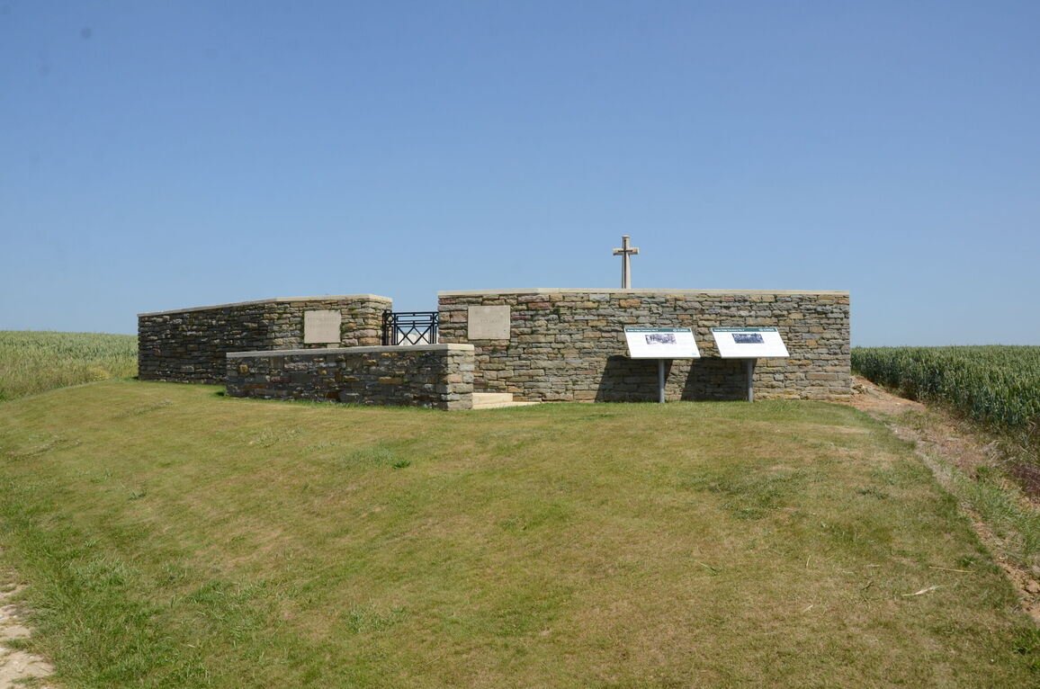
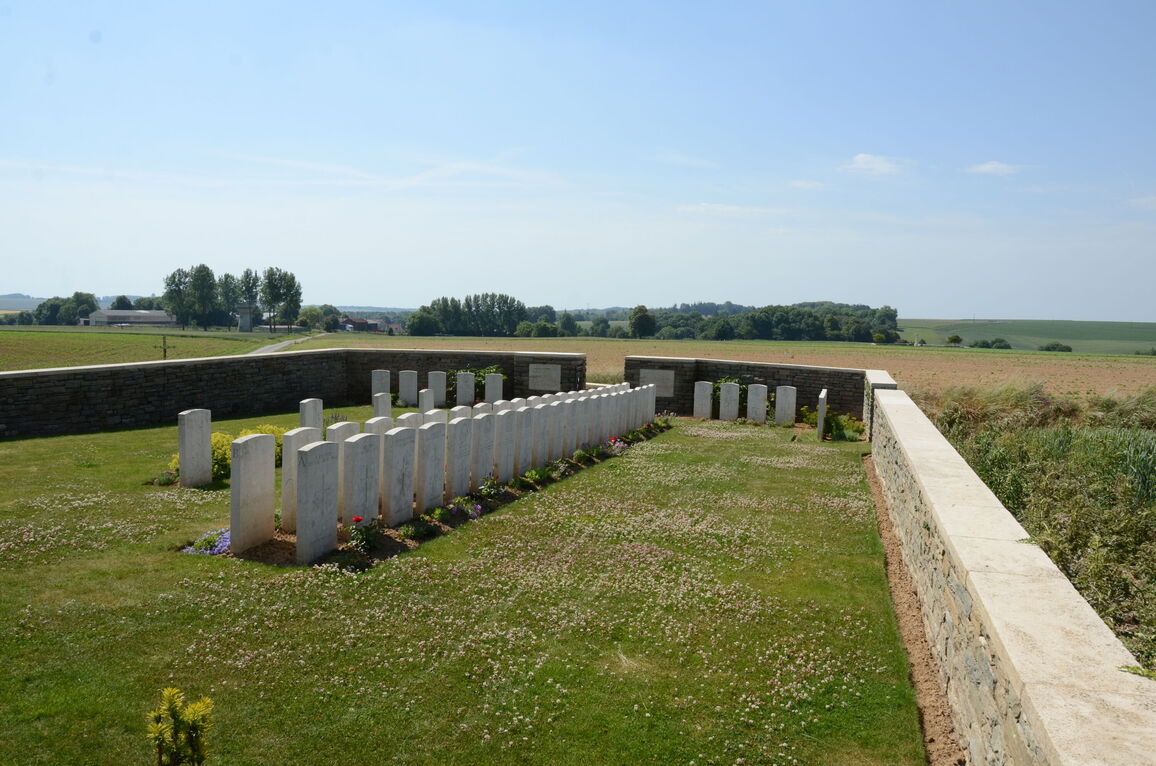
The cemetery is surrounded by agricultural land. There are several other cemeteries in the area visible from the cemetery. A single lane farm track leads west from Rue de la Montagne.
There is a CWGC Cemetery Direction sign visible when travelling south along the road. A tall iron crucifix is also located at the junction of the track and road. Redan Ridge No 3 Cemetery is located approximately 50 metres along the track on the north side of the track.
PARKING
It may be possible to park on the edge of the main road close to iron crucifix. The farm track is narrow with no turning areas and is very muddy when wet.
ACCESS LAYOUT AND MAIN ENTRANCE
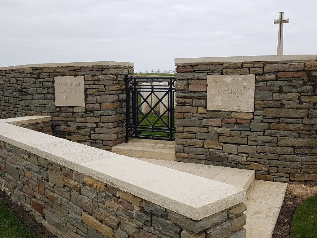
There is a walled, L shaped entrance area with 2 stone steps leading up to the main gate. The steps are at the top of a grass slope leading up from the track to the cemetery.
There is an additional step up to the entrance gate. A 90-centimetre wide, mid-level, thigh height, black metal gate with an up and down latch on the top left-hand side of the gate opens into the cemetery. The grass inside the cemetery is level with the top step under the gate.
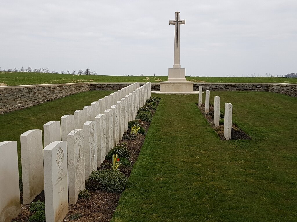
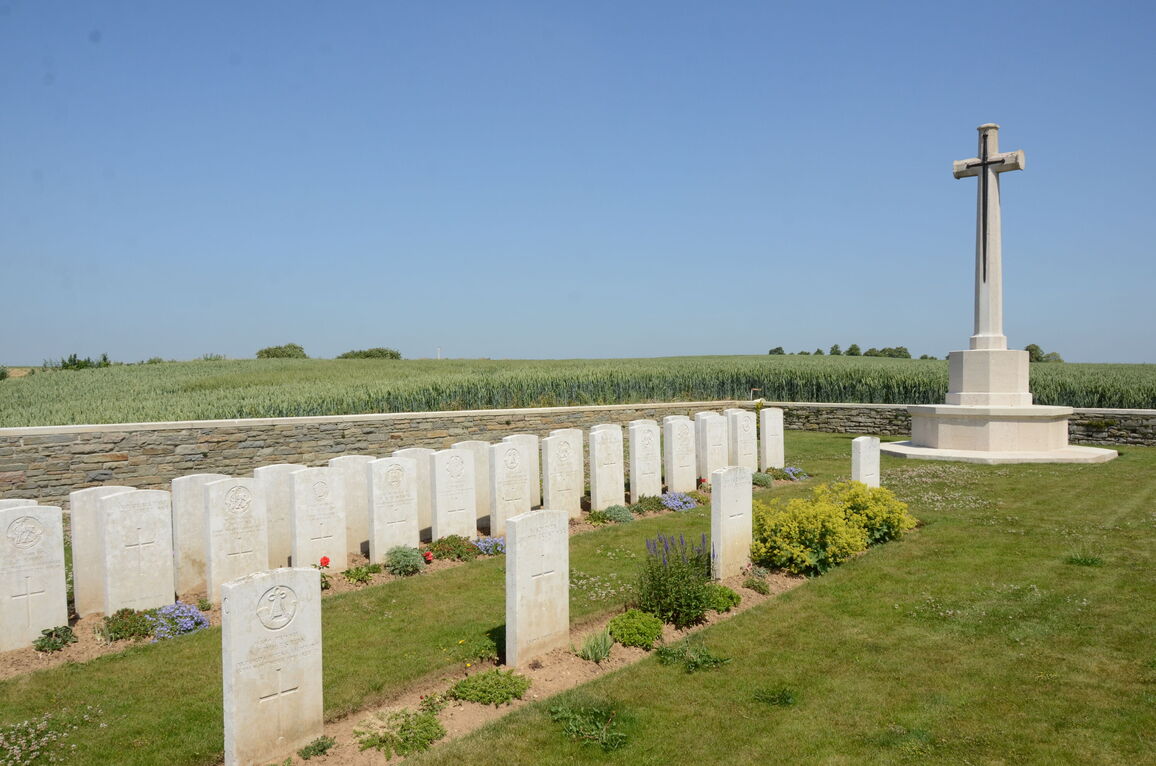
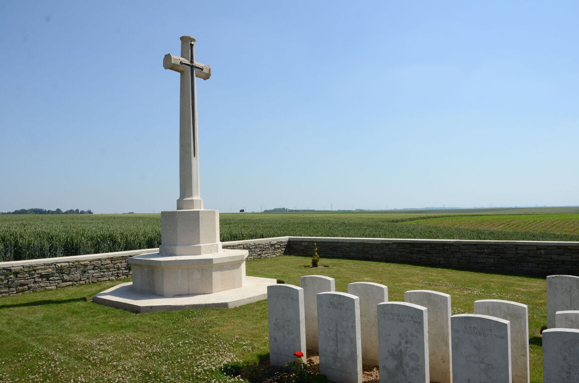
The Cross of Sacrifice is at the rear of the cemetery in line with the entrance gate.
There is no Register Box in the cemetery.
The internal paths are grass, the ground is gently sloped.
ALTERNATIVE ACCESS
To the left of the main entrance, there is a grass path along the western boundary wall leading up from the farm track.
The entrance is an opening in the boundary wall, 90 centimetres wide, with a black metal chain that can be unhooked on the left side of the opening. There is paving level with the path and inside the cemetery in the wall opening.
ADDITIONAL INFORMATION
The cemetery is permanently open.
A copy of the Cemetery Register is available at the Mairie (Town Hall) of Beaumont Hamel during opening hours.
History information
Redan Ridge was named from The Redan, a group of British front-line trenches of 1916. The cemetery was made by the V Corps in the spring of 1917, when these battlefields were cleared.
Redan Ridge Cemetery No. 3 is among the old German front line trenches.
There are now over 50, 1914-18 war casualties commemorated in this site. Of these, half are unidentified and 13 graves which were destroyed by shell fire, are now represented by special memorials. The great majority of these officers and men fell in November, 1916, and belonged to the 2nd Division.
The Cemetery covers an area of 283 square metres and its approach road 35 square metres. It is enclosed by a low rubble wall.


