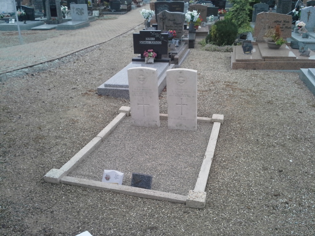
Roppenheim Communal Cemetery
- Country France
- Total identified casualties 2 Find these casualties
- Region Bas-Rhin
- Identified casualties from First World War
- GPS Coordinates Latitude: 48.84584, Longitude: 8.0575
Location information
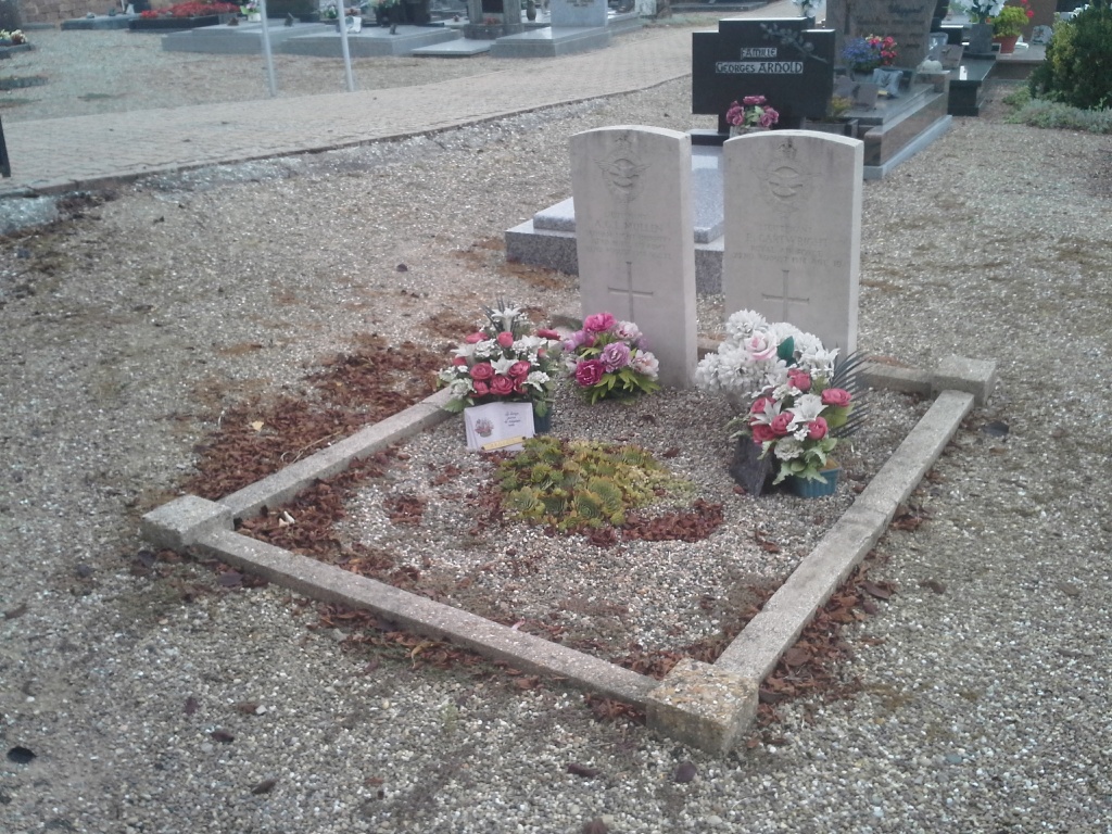
Roppenheim village is close to the German border with Seltz being the nearest town. From Seltz travel South on the D468 to the village of Roppenheim. On entering the village the cemetery is situated on the left of the main road. The Commonwealth War Graves Plot can be found on the right side of the entrance to the Cemetery.
History information
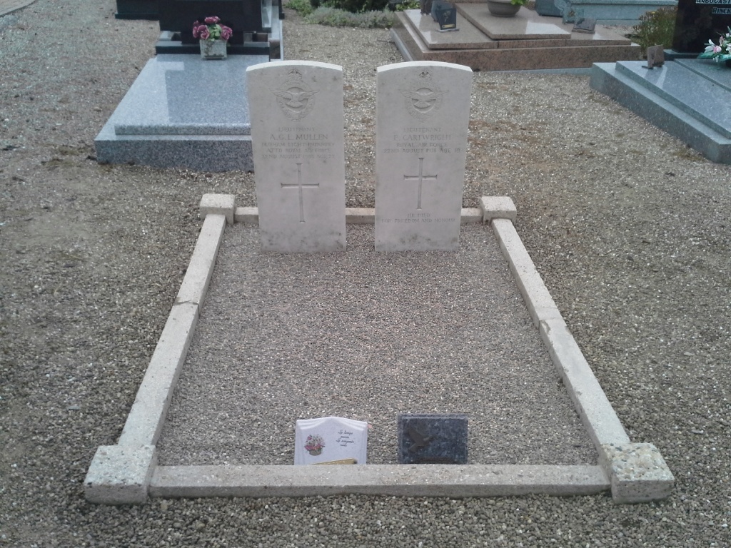
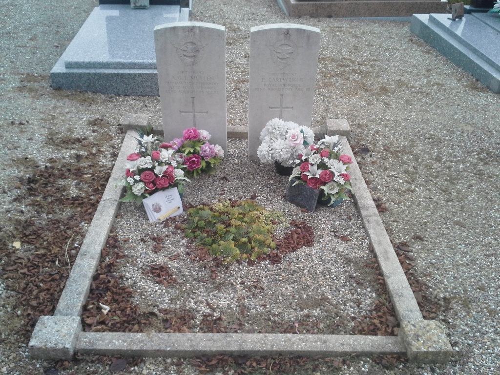
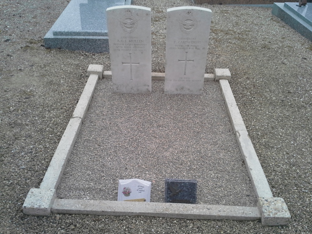
Roppenheim Communal Cemetery contains the graves of two Commonwealth airmen of the First World War.


