Brouilly Churchyard
- Country France
- Total identified casualties 1 Find these casualties
- Region Pas de Calais
- Identified casualties from First World War
- GPS Coordinates Latitude: 50.27099, Longitude: 2.3771
Location information
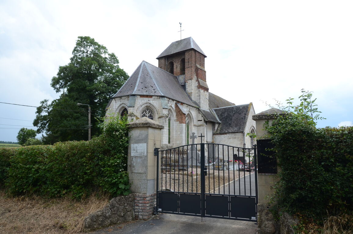
Brouilly is a hamlet between the communes of Rebreuviette and Estree Wamin, 5 kilometres east of Frevent, in the Department of the Pas de Calais.
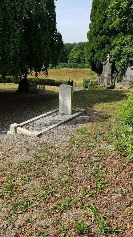
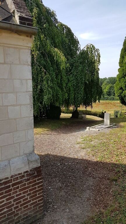
The Churchyard is located on the northern outskirts of Brouilly. Take the first turning on the right hand side after entering the village from Estree Wamin on the D339. Follow the Rue du Brouly until you reach a fork in the road and then take the left hand fork. The Churchyard is a couple of hundred meters along this road on the left hand side. The single Commonwealth war grave is on the left side of the chapel.
History information
Brouilly Churchyard contains one Commonwealth burial of the First World War.