Loker Churchyard
- Country Belgium
- Total identified casualties 214 Find these casualties
- Region West-Vlaanderen
- Identified casualties from First World War
- GPS Coordinates Latitude: 50.78224, Longitude: 2.77192
Location information
Loker (formerly Locre) Churchyard is located 11.5 Kms south-west of Ieper town centre on the Dikkebusseweg (N375).
From Ieper town centre the Dikkebusseweg is reached via Elverdingsestraat, straight over a roundabout onto J.Capronstraat (for 30 metres), then left along M.Fochlaan. Immediately after the train station, the first right hand turning is the Dikkebusseweg.
On passing through the village of Dikkebus the road continues for 6 kilometres to the village of Loker. The church and churchyard are located at the side of the road in the village of Loker itself.
Visiting information
ARRIVAL
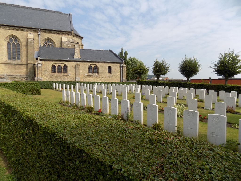
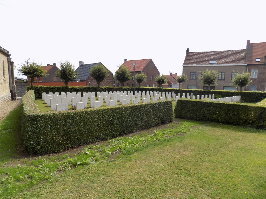
There is no signpost outside the church. However, there are 2 CWGC plots inside the church grounds, one on either side of the church in both the far left and far right-hand corners.
PARKING
There are parking areas to the front of the church on the left- and right-hand side, both parking areas have spaces for up to 10 vehicles. The parking on the right has 1 designated accessible parking space and is at the closest point to the church
The ground is flat and firm with a brick and stone paved (cobbled) surface.
ACCESS LAYOUT AND MAIN ENTRANCE
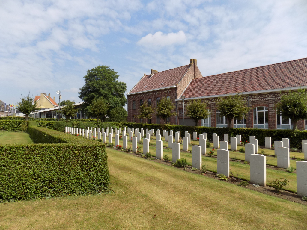
There are 2 separate CWGC plots either side of the churchyard, access to each plot is through the civilian burial area. The ground is level, firm and all internal paths are grass. The pathways are a combination of cobbled paving, stone paving and grass to both plots.
Plot 1 is in the top left-hand corner of the churchyard approximately 40 metres from the parking area and entrance to the churchyard.
Plot 1 is enclosed within a mid-height hedge, with access through a 70-centimetre gap in the hedge.
Plot 2 is in the top right-hand corner of the churchyard approximately 50 metres from the parking area and main entrance.
Plot 2 is enclosed within a mid-height hedge, with the entrance through a 70-centimetre gap in the hedge.
The Register Box for all CWGC burials is on a white stone plinth to the left of the entrance inside Plot 1.
ALTERNATIVE ACCESS
There are no alternative entrances into the CWGC plots.
ADDITIONAL INFORMATION
The churchyard is permanently open.
History information
Locre (now Loker) was in Allied hands during the greater part of the war, and field ambulances were stationed in the Convent of St. Antoine. The village changed hands several times between 25 and 30 April 1918, when it was recaptured by the French. The hospice, or convent, was the scene of severe fighting on 20 May, but was not retaken until first week in July.
Loker Churchyard was used by field ambulances and fighting units from December 1914 to June 1917, and it contains two Commonwealth plots. One grave was brought in after the Armistice from LOCRE FRENCH CEMETERY No.4.
The churchyard contains 215 Commonwealth burials of the First World War.