Ferrieres Communal Cemetery
- Country France
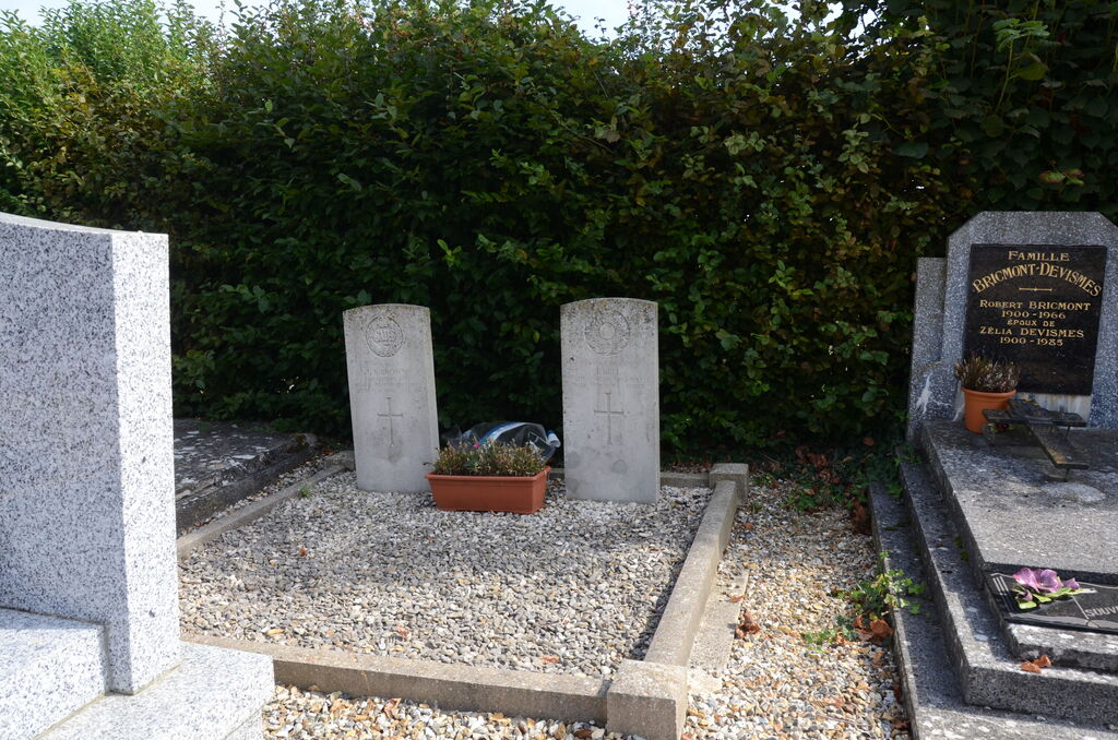
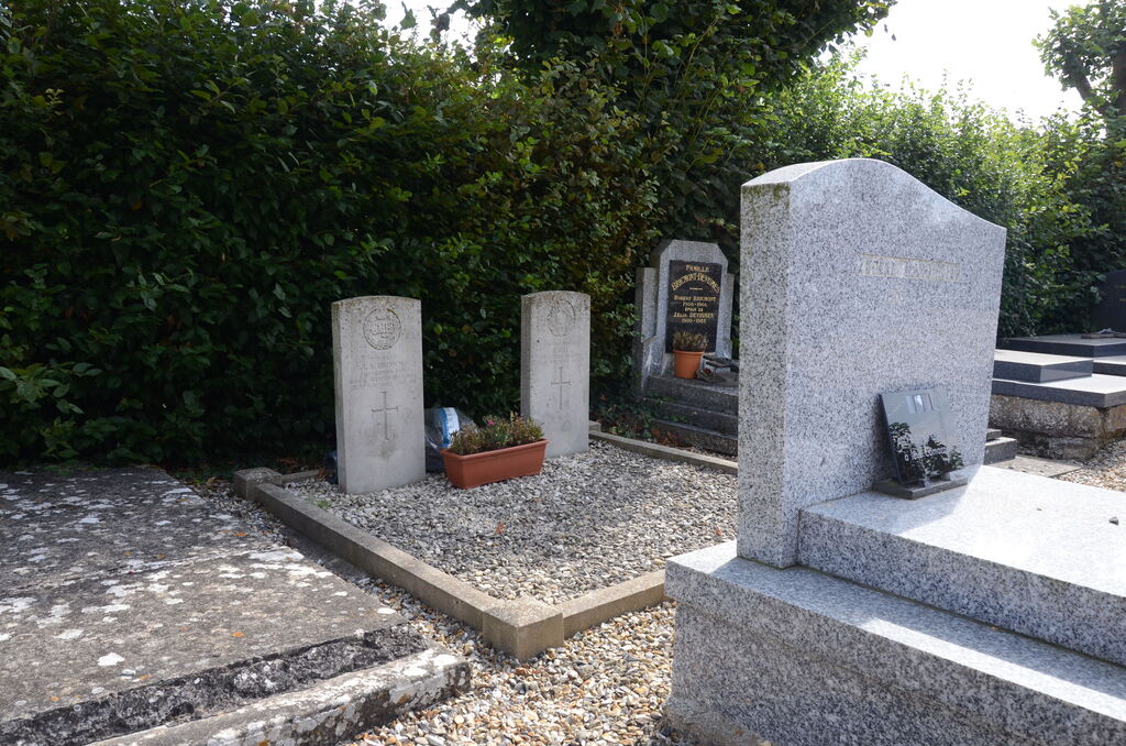
- Total identified casualties 2 Find these casualties
- Region Somme
- Identified casualties from Second World War
- GPS Coordinates Latitude: 49.88345, Longitude: 2.17004
Location information
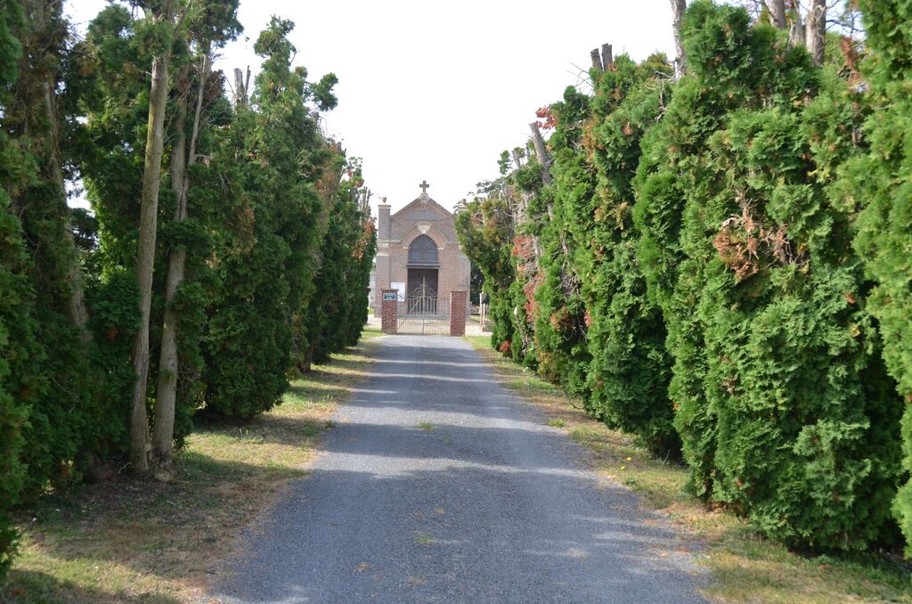
Ferrieres is a village and commune about 11 kilometres west of Amiens on the D.211 road to Molliens-Vidame. The communal cemetery is in the fields 1 kilometre south of the village, on a by-road leading to the village of Guignemicourt. The two British graves are in the eastern part of the cemetery, near the hedge and some 9 metres east of the corner of the chapel.