Fort-Mahon-Plage Cemetery
- Country France
- Total identified casualties 1 Find these casualties
- Region Somme
- Identified casualties from Second World War
- GPS Coordinates Latitude: 50.35115, Longitude: 1.56975
Location information
Fort-Mahon-Plage is a village and commune some
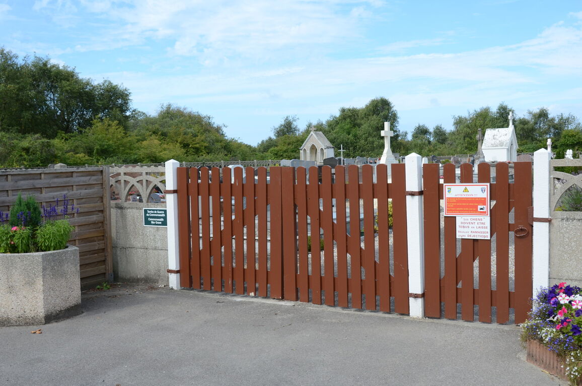
35 kilometres north-west of Abbeville and 8 kilometres north-west of Quend, a village on the coast road from Boulogne-sur-Mer to Etaples, Rue, and Noyelles. The communal cemetery is about 1 kilometre north of the village on the road leading
to Pointe de la Dune Blanche.
History information
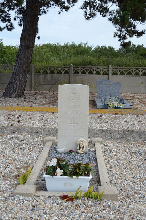
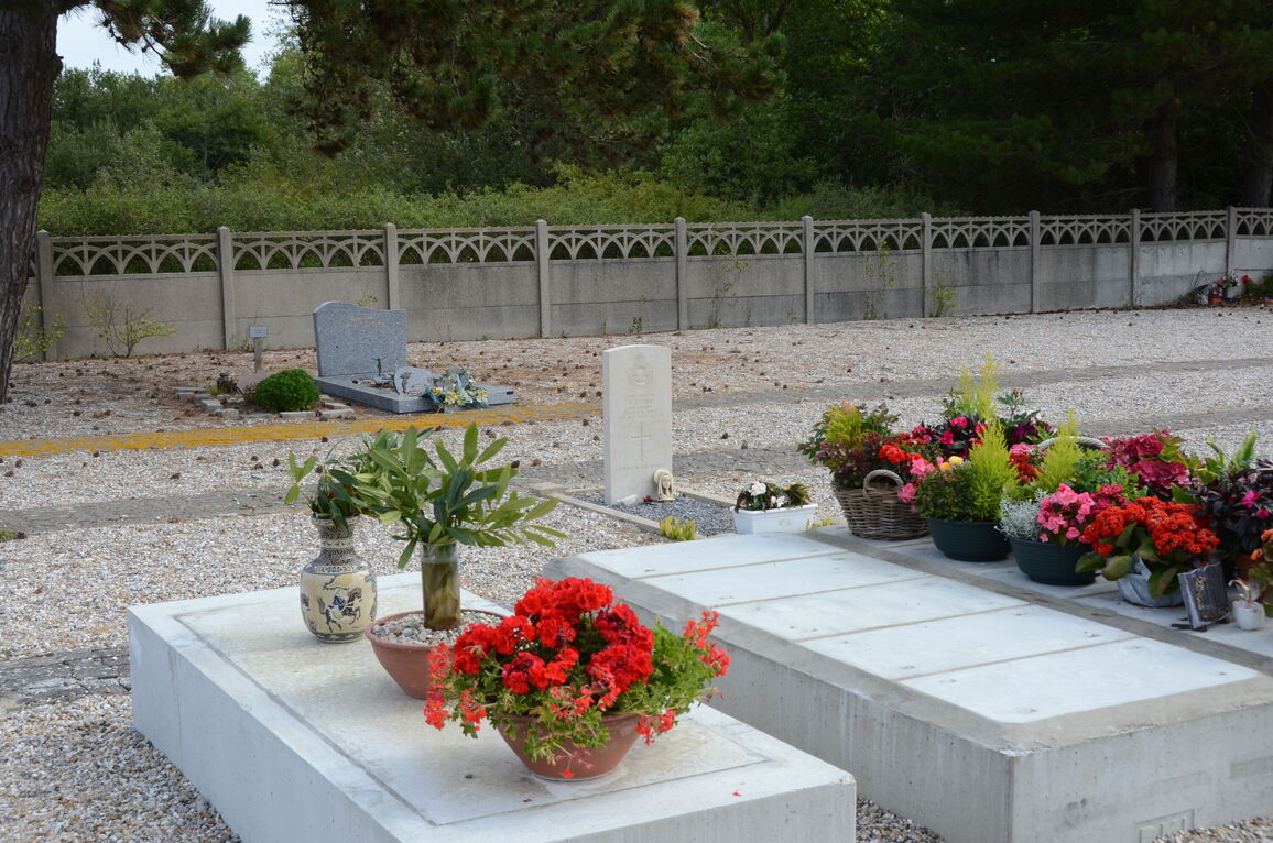
In the north-western part is the Military Plot containing, near the centre of the northern boundary, the grave of an airman of the Royal Air Force.


