Hochkirch Parish Cemetery
- Country Germany
- Total identified casualties 1 Find these casualties
- Region Sachsen
- Identified casualties from Second World War
- GPS Coordinates Latitude: 51.14797, Longitude: 14.57391
Location information
Hochkirch is a small village in South East Germany approx 75 km east of Dresden.
From the A4 Dresden to Görlitz motorway take exit 89 (Ausfahrt 89) BAUTZEN-WEST and follow direction OPPACH, continue for approx 1.4 km then turn left onto B96 direction GÖRLITZ, continue for approx 11.8 kms.
Drive through the village of Hochkirch and turn left onto ZUM SPORTZPLATZ.
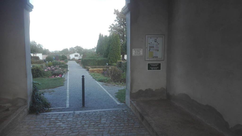
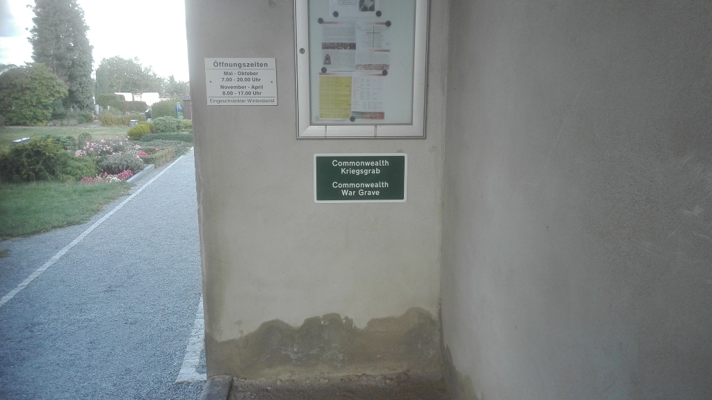
The main entrance to the civilian cemetery is directly ahead.
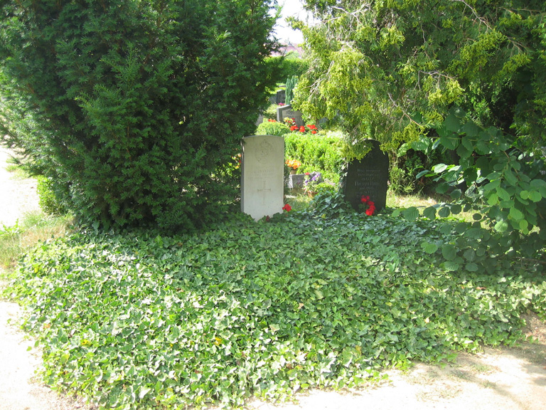
Turn right immediately on entering the cemetery, continue approx 30m and the single CWGC headstone is on the left.
The cemetery address is:
Zum Sportplatz,
02627 Hochkirch
Germany
GPS Co-ordinates: N 51 08 53, E 14 34 24
History information
This communal cemetery contains the grave of one Commonwealth serviceman of the Second World War, whose grave was rediscovered following the reunification of Germany.