Corbie Communal Cemetery Extension
- Country France
- Total identified casualties 925 Find these casualties
- Region Somme
- Identified casualties from First World War
- GPS Coordinates Latitude: 49.91531, Longitude: 2.52019
Location information
Corbie is a small town 15 kilometres east of Amiens.
Go north from the town centre taking the D1 (Rue Gambetta) in the direction of Bray. You will arrive at a set of traffic lights with the hospital diagonally on your left. Continue, taking the second turning on your right onto the Rue des Longues Vignes (VC6). The cemetery lies about 800 metres on the left and the extension is east of the Communal Cemetery.
Visiting information
The Commonwealth War Graves Commission CWGC section is attached to east side of the communal cemetery.
ARRIVAL
The route to the cemetery is signposted.
PARKING
There are multiple parking spaces in marked bays at the side of the main road (Rue des Longues Vignes, Corbie) on the opposite side of the road to the main entrance. The road runs next to the cemetery.
The ground is flat and firm with a tarmac surface. There is a drainage channel and raised kerb alongside the tarmac footpath on the cemetery side of the road. The tarmac is broken and damaged in front of the entrance.
ACCESS LAYOUT AND MAIN ENTRANCE
There are six stone steps at the bottom of a grass ramp that runs from ground level up the side of a steep grass bank along the front of the cemetery to the main entrance. The edge of the ramp is bound by stone paving level with the grass on the right side and by a stone wall on the left.
At the top of the grass ramp, three steps lead up to a paved area at the main entrance to the cemetery.
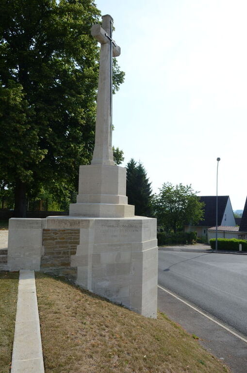
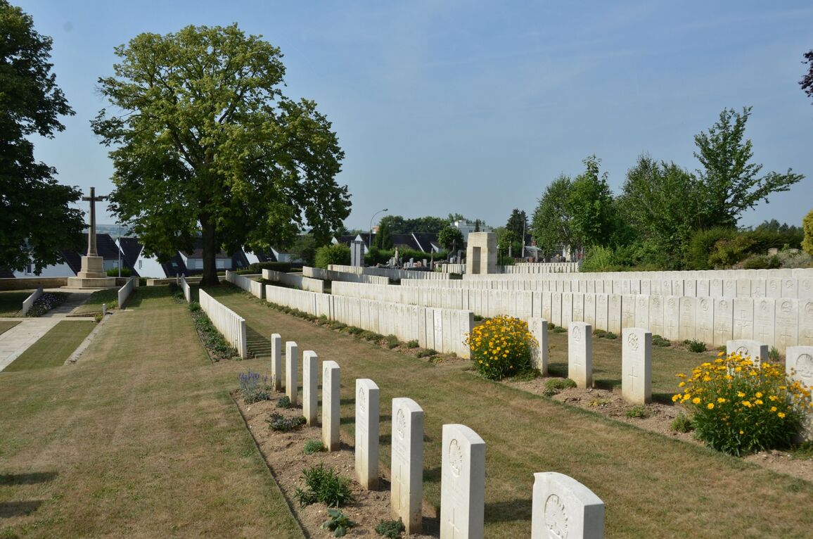
The Cross of Sacrifice is at the top of the ramp at the main entrance.
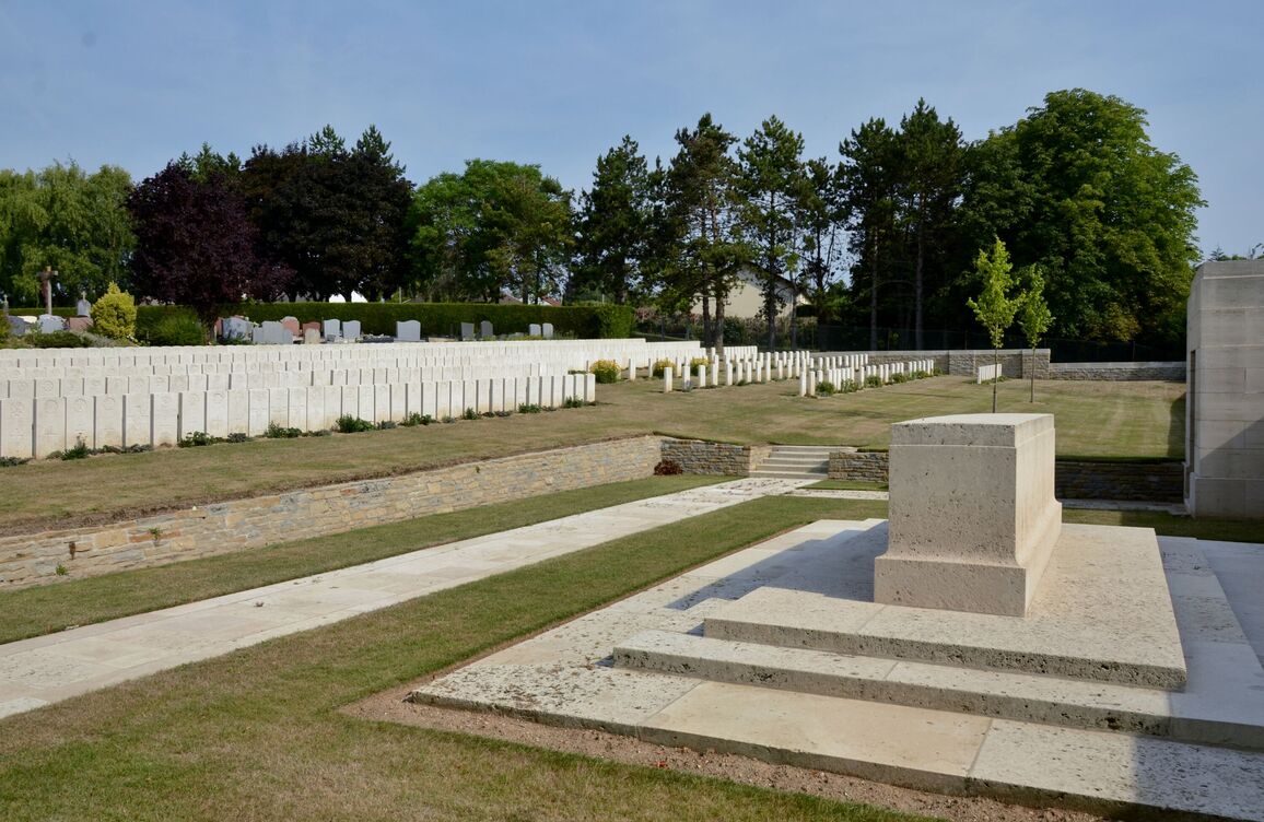
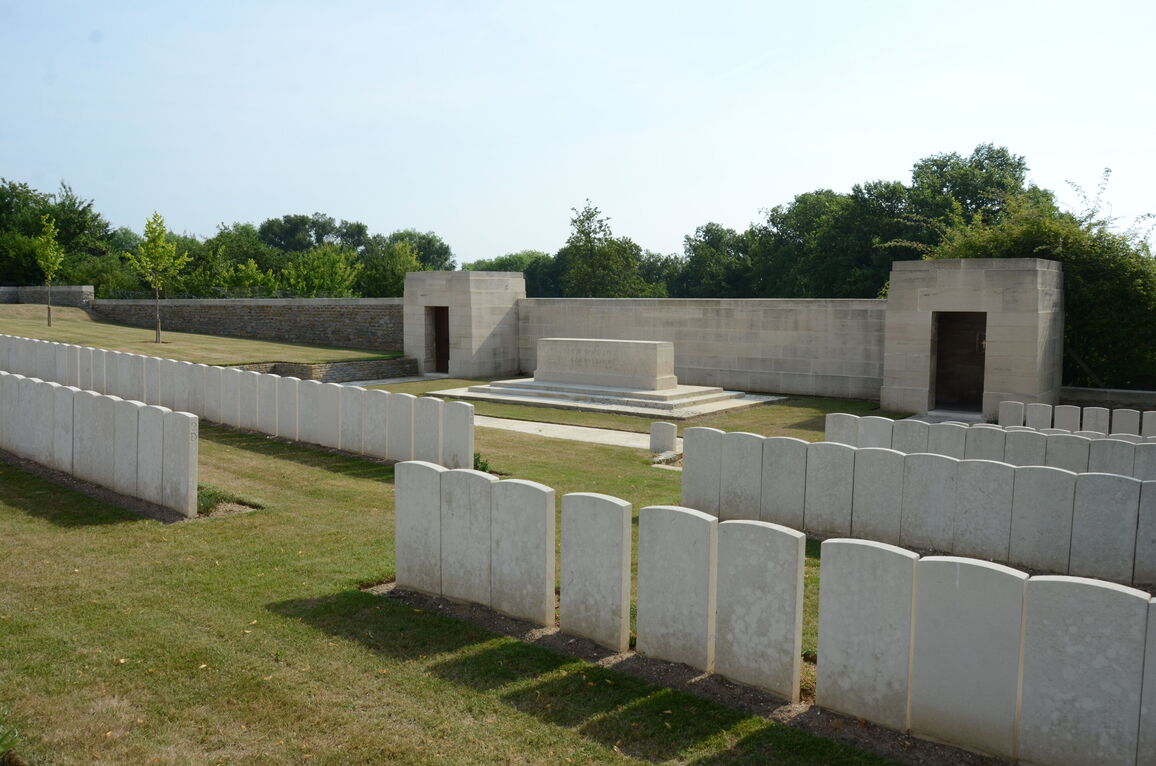
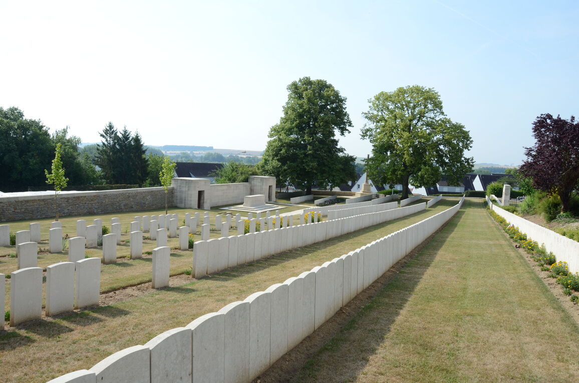
Paving leads into the cemetery with additional steps and paving leading to the Stone of Remembrance and Shelter Buildings on the right side of cemetery. Five steps at the end of the pathway lead up into the burial area. Threes steps lead up to the burial area at the end of the path leading from the shelter building closest to the entrance. There is a stone retaining wall, approximately 500 mm high, separating the pathways and structures from the burials. The top of the wall is level with the grass on the upper level and drops straight down. The ground slopes upwards from the structures to the rear of the site adjacent to the civil cemetery.
The Register Box is inside a stone shelter building to the right of the Stone of Remembrance.
There is a stone bench seating area at the bottom left corner of the cemetery, accessed by a grass pathway running along the inside of the wall running along the front of the cemetery.
ALTERNATIVE ACCESS
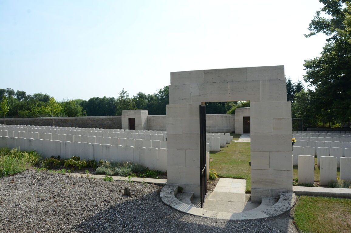
There is access from the communal cemetery into the CWGC section on the western edge of the CWGC site. There are three semicircular stone steps going down a level to a stone arch. The arch is at the boundary of the CWGC section. There is a tall metal gate that opens outwards from the cemetery. The gate is latched on the right side viewed from outside the CWGC cemetery. Paving leads into the CWGC plot from the bottom of the steps, level with the grass. This entrance is in line with the shelter building to the right of the Stone of Remembrance.
There is no step-free access to the site.
ADDITIONAL INFORMATION
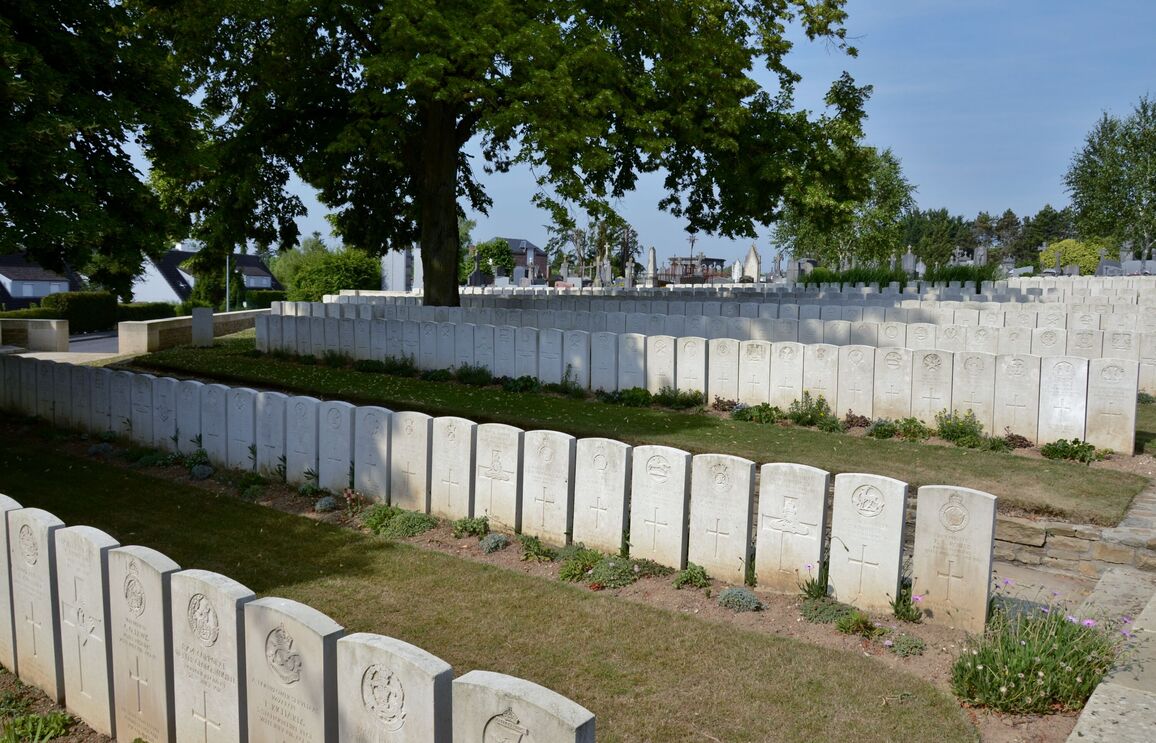
The cemetery burial area does not have a flat surface. The ground slopes downward to the centre of the cemetery from both sides, with stepped access points within the cemetery and the internal paths are not flat.
The cemetery is permanently open.
History information
Corbie was about 20 kilometres behind the front when Commonwealth forces took over the line from Berles-au-Bois southward to the Somme in July 1915. The town immediately became a medical centre, with Nos 5 and 21 Casualty Clearing Stations based at La Neuville (the suburb across the Ancre) until October 1916 and April 1917 respectively. In November 1916 the front moved east, but the German advance in the Spring of 1918 came within 10 kilometres of the town and brought with it field ambulances of the 47th Division and the 12th Australian Field Ambulance.
The communal cemetery was used for burials until May 1916, when the plot set aside was filled and the extension opened. The majority of the graves in the extension are of officers and men who died of wounds in the 1916 Battle of the Somme. The remainder relate to the fighting of 1918.
The communal cemetery contains 249 First World War burials, the extension 918.
The extension was designed by Charles Holden.


