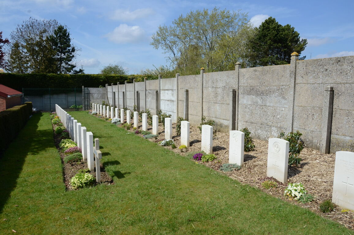
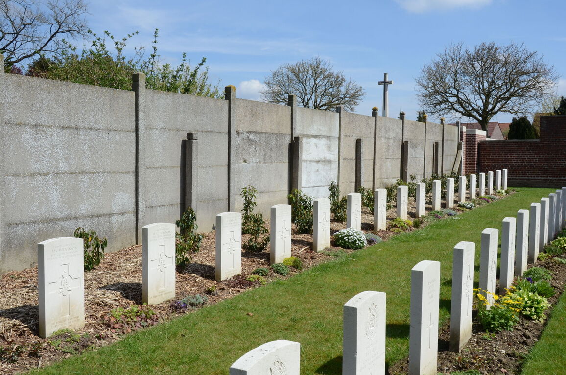
Athies Communal Cemetery Extension
- Country France
- Total identified casualties 312 Find these casualties
- Region Pas de Calais
- Identified casualties from First & Second World War
- GPS Coordinates Latitude: 50.30399, Longitude: 2.83734
Location information
Athies is a village 5 Kms east of Arras. The Cemetery is on the north side of the road from Arras to Fampoux and the Extension is on the north-east side of the Communal Cemetery.
Visiting information
ARRIVAL
There are 2 Commonwealth War Graves Commission (CWGC) plots attached to the side of the civilian cemetery.
Route to the cemetery is signposted.
PARKING
The closest available parking area is 100 metres from the main entrance.
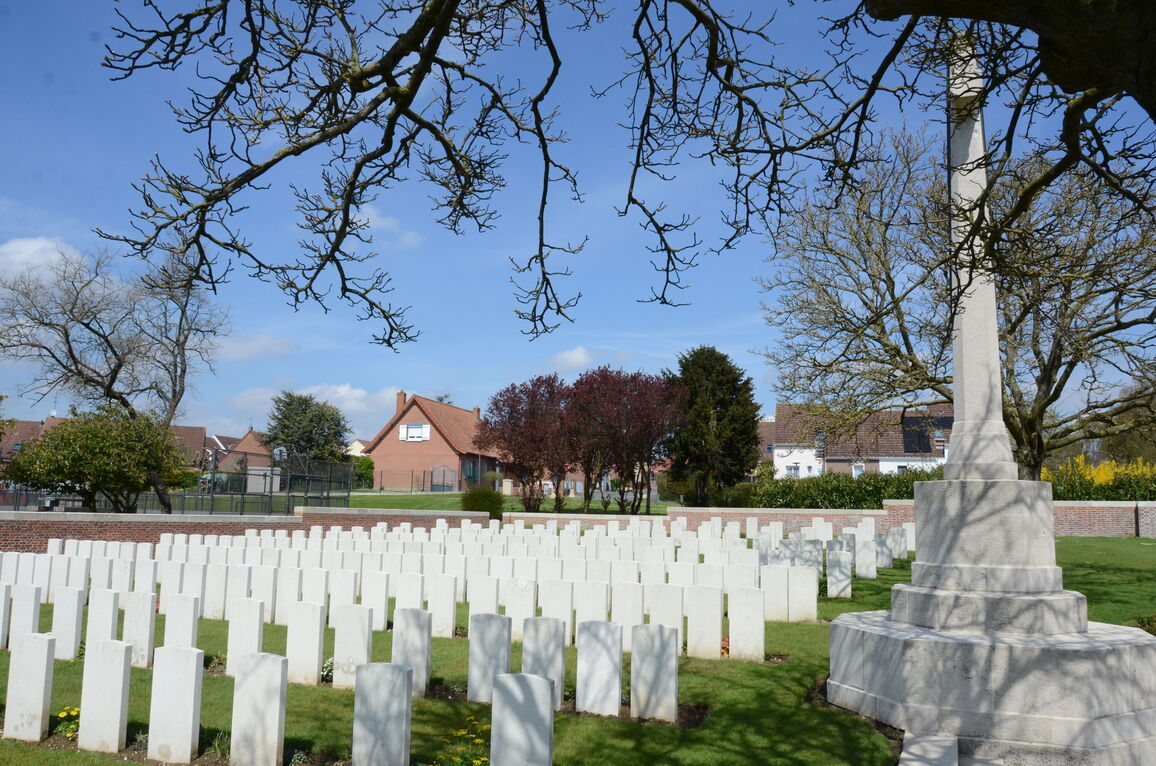
There is a car park backing on to the rear of the cemetery, adjacent to a playpark and basketball court, on Rue des Bouvreuils. There is space for multiple vehicles. There is a footpath along Rue d’Arras, downhill from the car park.
The ground is flat and firm with a tarmac surface.
ACCESS LAYOUT AND MAIN ENTRANCE
The cemetery is attached to the civil cemetery, in Athies. The main entrance is on Rue d’Arras.
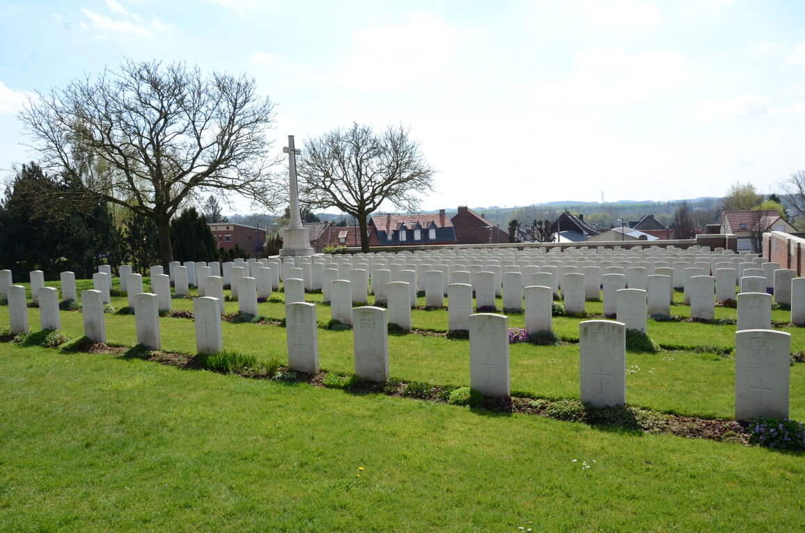
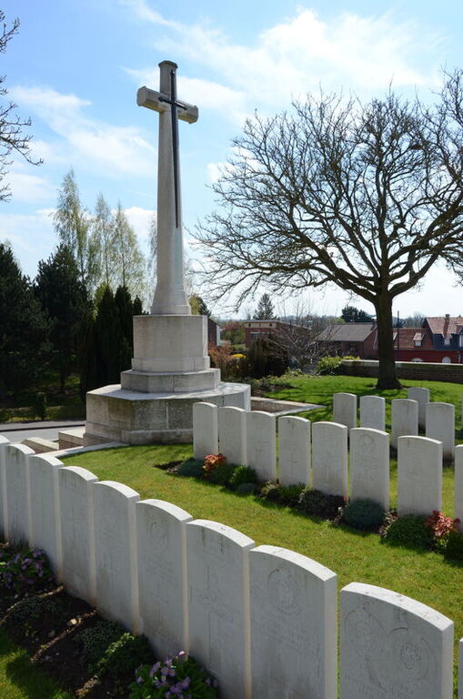
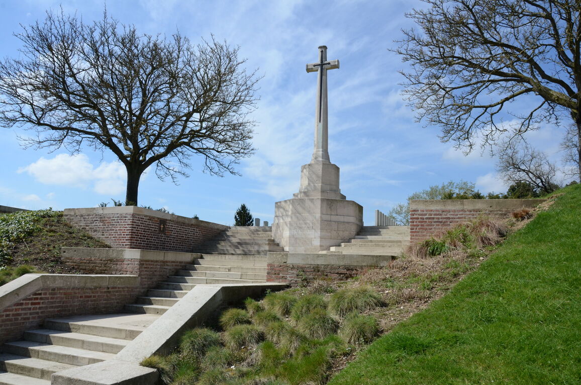
The main entrance has over 20 stone steps leading up to the Cross of Sacrifice. There are no handrails. The steps wrap around the Cross of Sacrifice near the top. The cemetery burial area is behind the Cross.
The Register Box is built into the wall at the main entrance, to the left of the Cross of Sacrifice.
The paths in the CWGC plot are grass the ground is firm and undulating with a gentle slope uphill. To the right of the entrance, the ground drops off towards the main road steeply to the footpath on Rue d’Arras.
There is an additional plot in the civil cemetery at the bottom left corner of the CWGC plot. There are steps leading through an opening in the wall down to the plot, which opens into the civil cemetery.
ALTERNATIVE ACCESS
Close to the parking area, adjacent to the basketball court, there is an opening in the rear wall of the CWGC plot. A mixture of gravel and uneven grass, a distance of 25 metres from the parking area leads to the opening in the wall, offering step-free access.
It is also possible to enter the main CWGC plot via the civil cemetery, up the steps from the smaller plot in the civil cemetery. There are steps leading through an opening in the wall in the southwest corner of the CWGC plot.
The ground is sloped (uphill to access the CWGC section) and passes through the civil cemetery, with a mixture of gravel and paved pathways through the site.
ADDITIONAL INFORMATION
The cemetery is permanently open.
History information
Athies was captured by the 9th (Scottish) Division, which included the South African Brigade, on 9 April 1917, and from then it remained in Allied hands.
ATHIES COMMUNAL CEMETERY contains one Commonwealth burial of the First World War.
The adjoining COMMUNAL CEMETERY EXTENSION was begun immediately after the capture of the village and used by field ambulances and fighting units until May 1918, and again in September 1918.
The extension contains 312 Commonwealth burials and commemorations of the First World War. 32 of the burials are unidentified but special memorials commemorate three casualties known to be buried among them. The extension also contains 41 Second World War burials, ten of them unidentified, mostly dating from May 1940 and the German advance across northern France.


