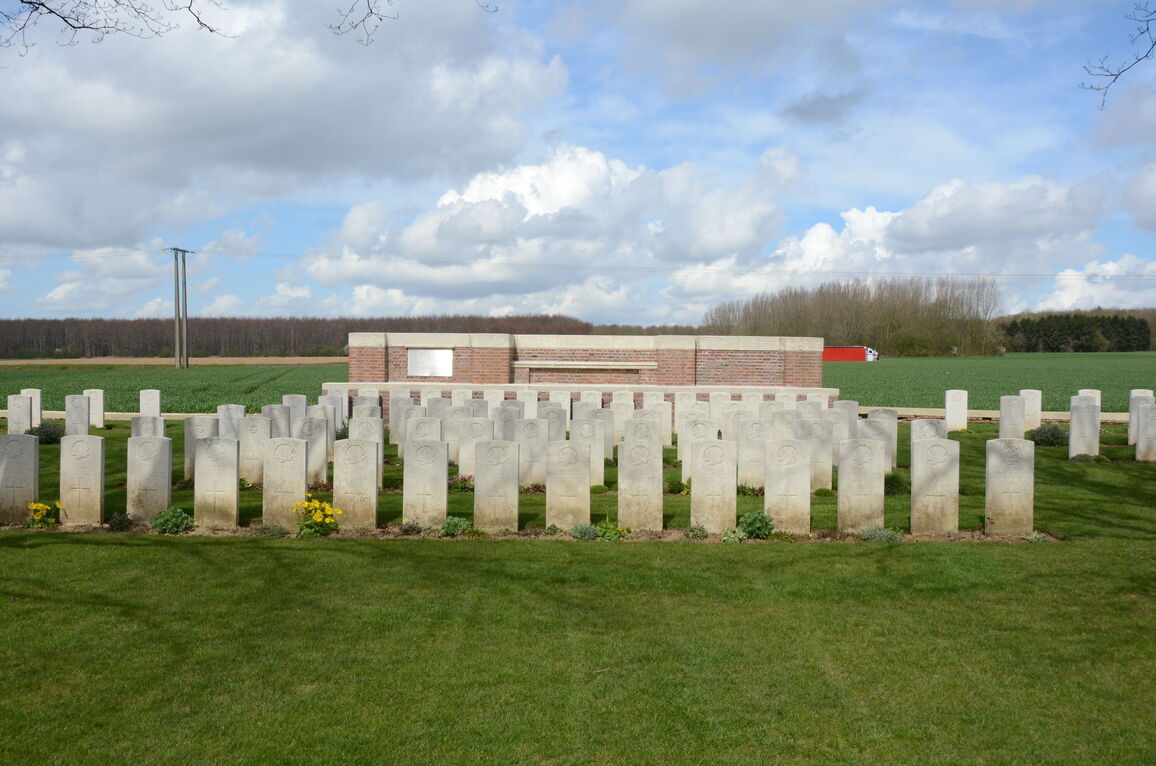
Thelus Military Cemetery
- Country France
- Total identified casualties 266 Find these casualties
- Region Pas de Calais
- Identified casualties from First World War
- GPS Coordinates Latitude: 50.36131, Longitude: 2.78845
PLEASE NOTE
The access path has been damaged by wild boar.
Sorry for the inconvenience.
Location information
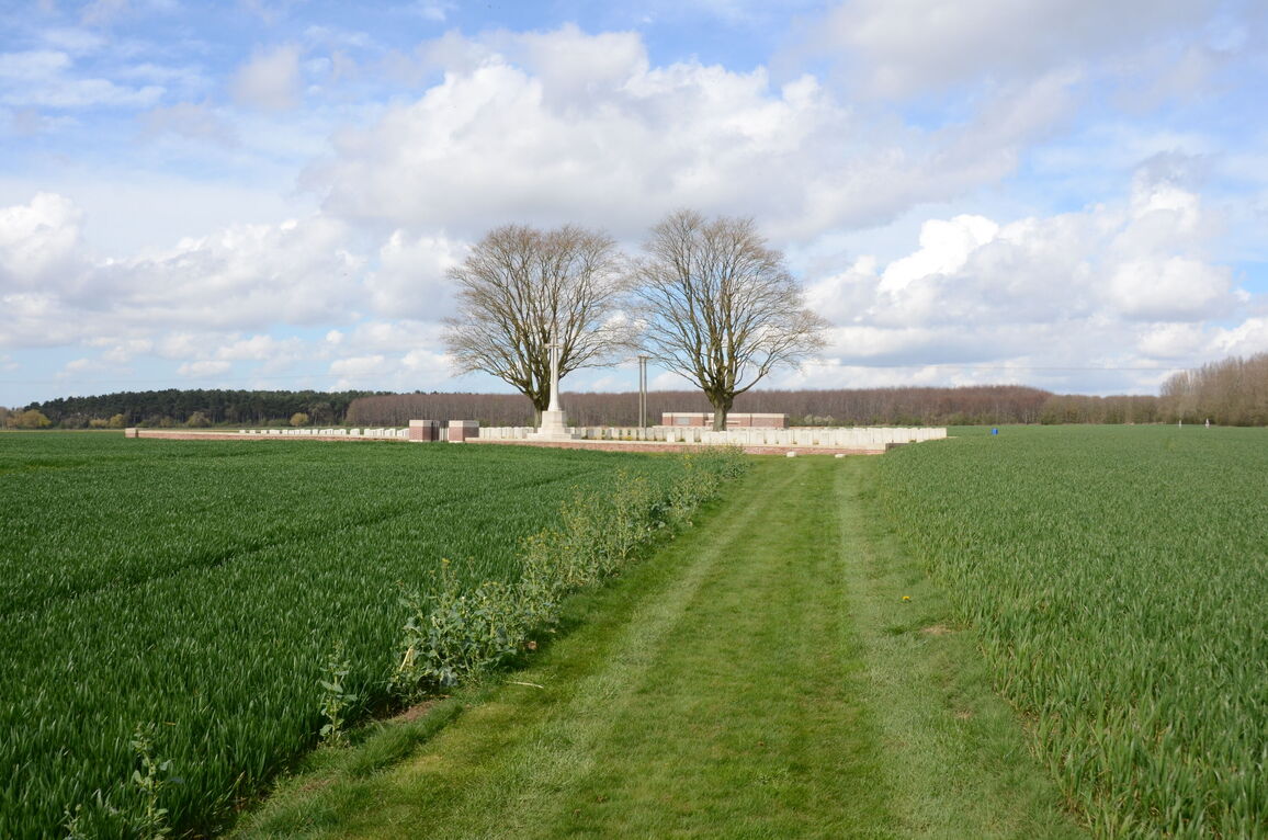
Thelus is a village in the Department of the Pas-de-Calais, west of the N17 Arras-Lens main road and 6.5 kilometres north of Arras. Thelus Military Cemetery is approximately 300 metres west of the N17, located in the open country, about 50 metres north of Thelus village.
Visiting information
PARKING
There is no car park at the cemetery and no layby or off-street parking nearby.
ARRIVAL
There is a long, upwards sloping turf track, approximately 300 metres long that runs from the N17 main road to the cemetery entrance; both the access track and the cemetery are on sloping ground.
MAIN ENTRANCE
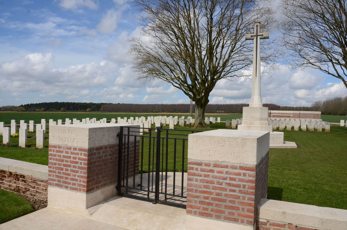
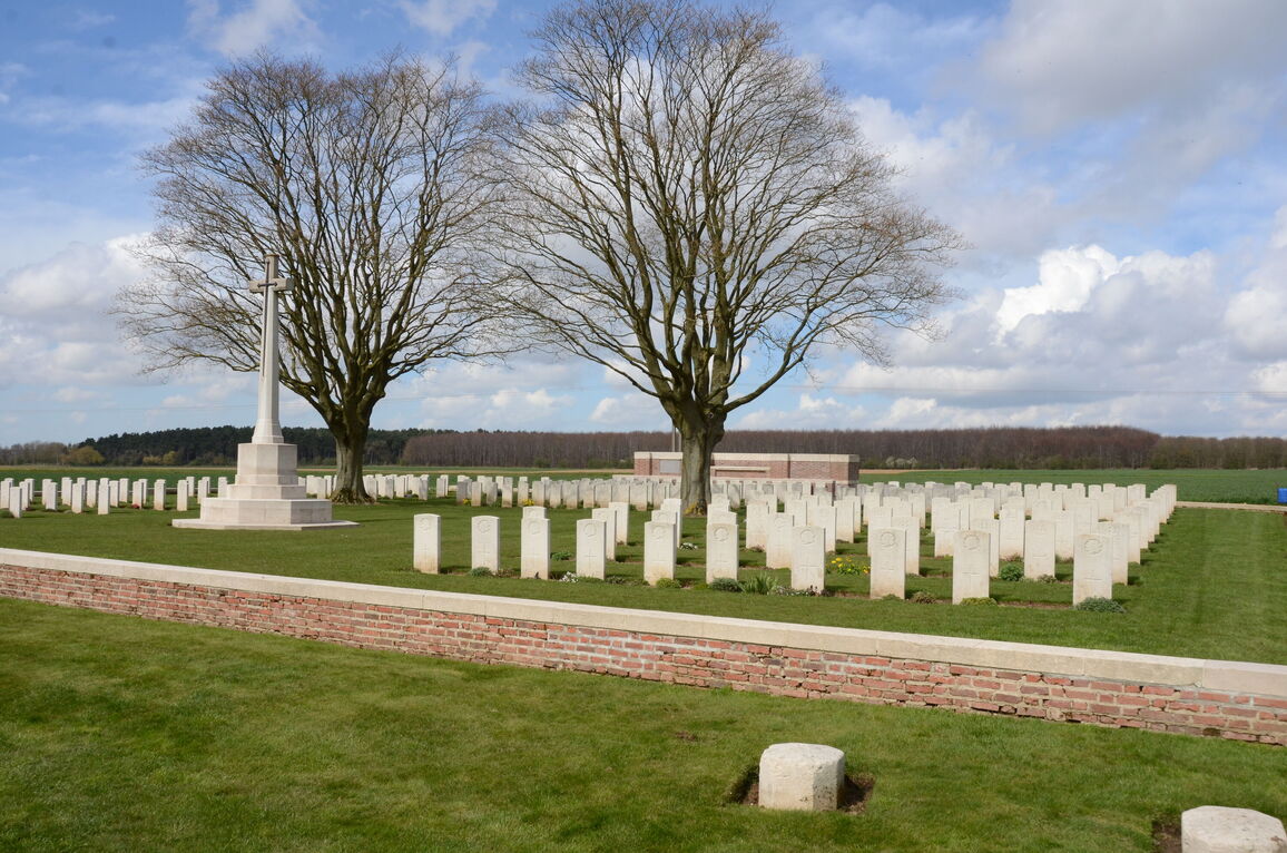
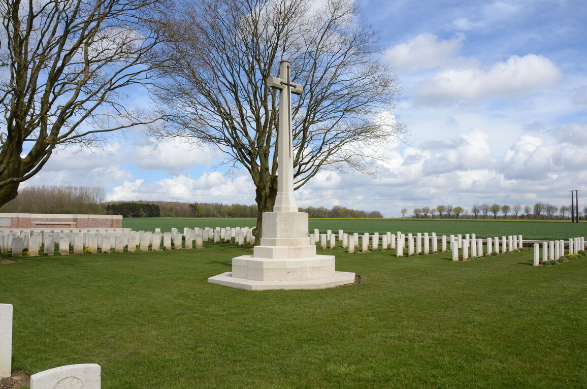
The main entrance of the cemetery has two red brick gateposts topped with white Portland stone; between the gateposts is a metal gate. The cemetery is enclosed within a low-level red brick wall. In the centre is a Cross of Sacrifice. Behind the Cross of Sacrifice and up against the boundary wall is a Portland stone seat. The seat is accessed by climbing three steps up to a platform where the seat is built into the wall.
There is a Register Box at the cemetery, built into one of the gateposts at the main entrance. Access to the Register Box is from inside the cemetery.
The cemetery is built on a hill, the site slopes uphill away from the main road.
ALTERNATIVE ACCESS
There is no alternative access to the cemetery.
ADDITIONAL INFORMATION
Thelus Military Cemetery is permanently open.
Please note that due to the location of the site, in the middle of agricultural land, periods of excessive rain can cause muddy or slippery conditions.
History information
The village, which stands on the Vimy Ridge, was captured by the Canadian Corps on the 9th April 1917, and it remained in British hands until the end of the War.
The oldest part of Thelus Military Cemetery is a large grave, originally called "CB 8"* and now forming Plot II, which was made after the capture of the Ridge. The remaining Plots were made by fighting units from June 1917 to September 1918, except for Plot IV and part of Plot V, which were brought in from the battlefields of Vimy and Thelus after the Armistice.
There are now nearly 300, 1914-18 war casualties commemorated in this site. Of these, over 30 are unidentified.
The cemetery covers an area of 1,459 square metres and the access path an additional area of 357 square metres. It is enclosed by a red brick wall.
*The numerous groups of graves made about this time by the Canadian Corps Burial Officer were, as a rule, not named, but serially lettered and numbered.


